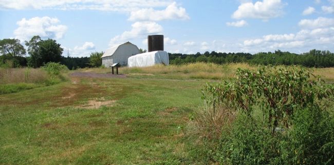
Fredericksburg in Spotsylvania County, Virginia — The American South (Mid-Atlantic)
First Day at Chancellorsville
The Confederate Flank Attack
- Gen. Lafayette McLaws
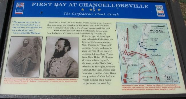
"Flanked!" one of the most feared words in any army. It meant that the enemy positioned upon the end of your line could fire down its length while only a few of your troops could fire back.
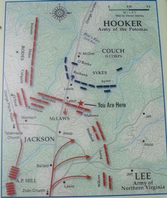
From where you now stand, Confederate forces under Gen. Lafayette McLaws poured a devastating fire into the Union troops. McLaws's job was to hold the Federals in his front while his commander, Gen. Thomas J. "Stonewall" Jackson, "would endeavor to gain the rear of the enemy." Jackson did just that. Troops from Gen. Robert E. Rodes's division, advancing with Jackson on the Plank Road, wheeled to the right, crashed through the thick woods, and bore down on the Union flank - a preview of what Jackson would achieve on a much larger scale the next day.
Erected 2008 by Virginia Civil War Trails.
Topics and series. This historical marker is listed in this topic list: War, US Civil. In addition, it is included in the Virginia Civil War Trails series list.
Location. 38° 17.73′ N, 77° 35.339′ W. Marker is in Fredericksburg, Virginia, in Spotsylvania County. Marker can be reached from Plank Road / Germanna Highway (State Highway 3), on the right when traveling west. Located along the Civil War Preservation Trust's walking trail through the First Day at Chancellorsville Battlefield. Touch for map. Marker is at or near this postal address: 7300 Lees Command Blvd, Fredericksburg VA 22407, United States of America. Touch for directions.
Other nearby markers. At least 8 other markers are within walking distance of this marker. 11th United States Infantry (within shouting distance of this marker); a different marker also named First Day at Chancellorsville (about 400 feet away, measured in a direct line); a different marker also named First Day at Chancellorsville (approx. 0.2 miles away); a different marker also named First Day at Chancellorsville (approx. ¼ mile away); a different marker also named First Day at Chancellorsville (approx. 0.4 miles away); a different marker also named The First Day at Chancellorsville (approx. 0.4 miles away); Chancellorsville Campaign (approx. 0.4 miles away); a different marker also named Chancellorsville Campaign (approx. 0.4 miles away). Touch for a list and map of all markers in Fredericksburg.
More about this marker. On the lower left a set of portraits is captioned: The leaders who turned the tide of the Chancellorsville Campaign: Confederate Gens. Lafayette McLaws and Thomas "Stonewall" Jackson.
A map on the right details the action: Brigades under Gens. William T. Wofford
Also see . . .
1. First Day at Chancellorsville. An animated map of the first day's battle from Civil War Preservation Trust. Also links to several excellent resources about the battle. The action described on this marker is roughly occurring at the 1:45 p.m. mark on the animation's time line. (Submitted on September 13, 2008, by Craig Swain of Leesburg, Virginia.)
2. Battle of Chancellorsville. National Park Service page about the battle. (Submitted on September 13, 2008, by Craig Swain of Leesburg, Virginia.)
Photographed By Craig Swain, August 24, 2008
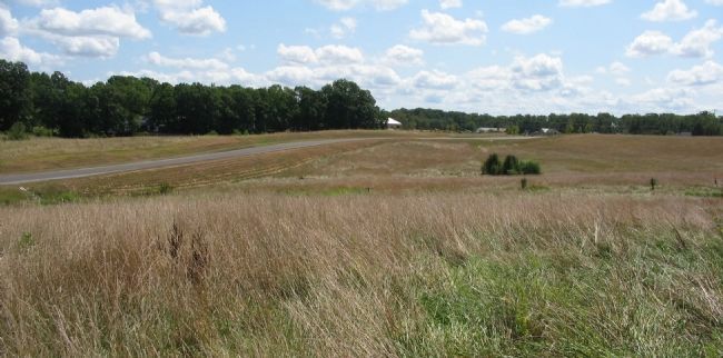
7. Wofford's Flank March
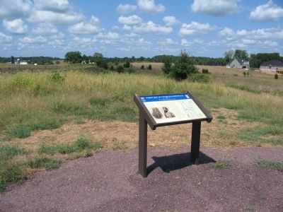
Looking east from the ridge spur. A modern road to the housing sub-division north of the preserved battlefield, traverses a creek bed on the left. Wofford's Brigade, made up of the 16th, 18th, and 24th Georgia Infantry along with Cobb's and Phillips' Legion Infantry, advanced along the east side of that creek. Their line of march took them to the north (left), around the Federal flanks. Perry's and Wilcox's Brigades took routes further to the east for their marches. That ground is now part of a major housing subdivision.
Photographed By Craig Swain, August 24, 2008
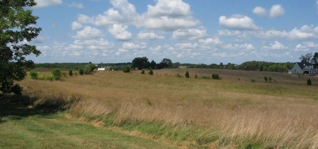
8. Federal Left Flank
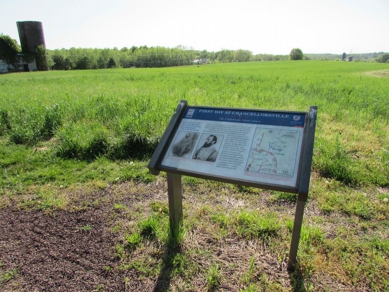
Looking from the ridge spur to the west. Ayres' Brigade of U.S. Regulars (the 3rd, 4th, 12th and 14th U.S. Infantry) came on line with Burbank's Brigade. Their advance came up through the low ground in the center distance here, and against Mahone's exposed right flank. However, Ayres' flank was then hanging out, unsupported. This view also demonstrates just how close the encroaching development has gotten to the battlefield area.
Credits. This page was last revised on April 25, 2023. It was originally submitted on September 13, 2008, by Craig Swain of Leesburg, Virginia. This page has been viewed 1,626 times since then and 12 times this year. Photos: 1. submitted on September 13, 2008, by Craig Swain of Leesburg, Virginia. 2. submitted on March 13, 2009, by Craig Swain of Leesburg, Virginia. 3, 4. submitted on September 13, 2008, by Craig Swain of Leesburg, Virginia. 5. submitted on April 22, 2023, by Bill Coughlin of Woodland Park, New Jersey. 6, 7, 8. submitted on September 13, 2008, by Craig Swain of Leesburg, Virginia.
