Near Coos Bay in Coos County, Oregon — The American West (Northwest)
Coos Bay Waters to Coquille Waters Trail
1850-1874
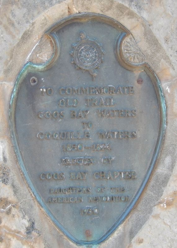
To commemorate
old trail
Coos Bay waters
to
Coquille waters
1850-1874
Erected 1930 by Coos Bay Chapter Daughters of the American Revolution.
Topics and series. This historical marker is listed in these topic lists: Native Americans • Railroads & Streetcars • Roads & Vehicles. In addition, it is included in the Daughters of the American Revolution series list.
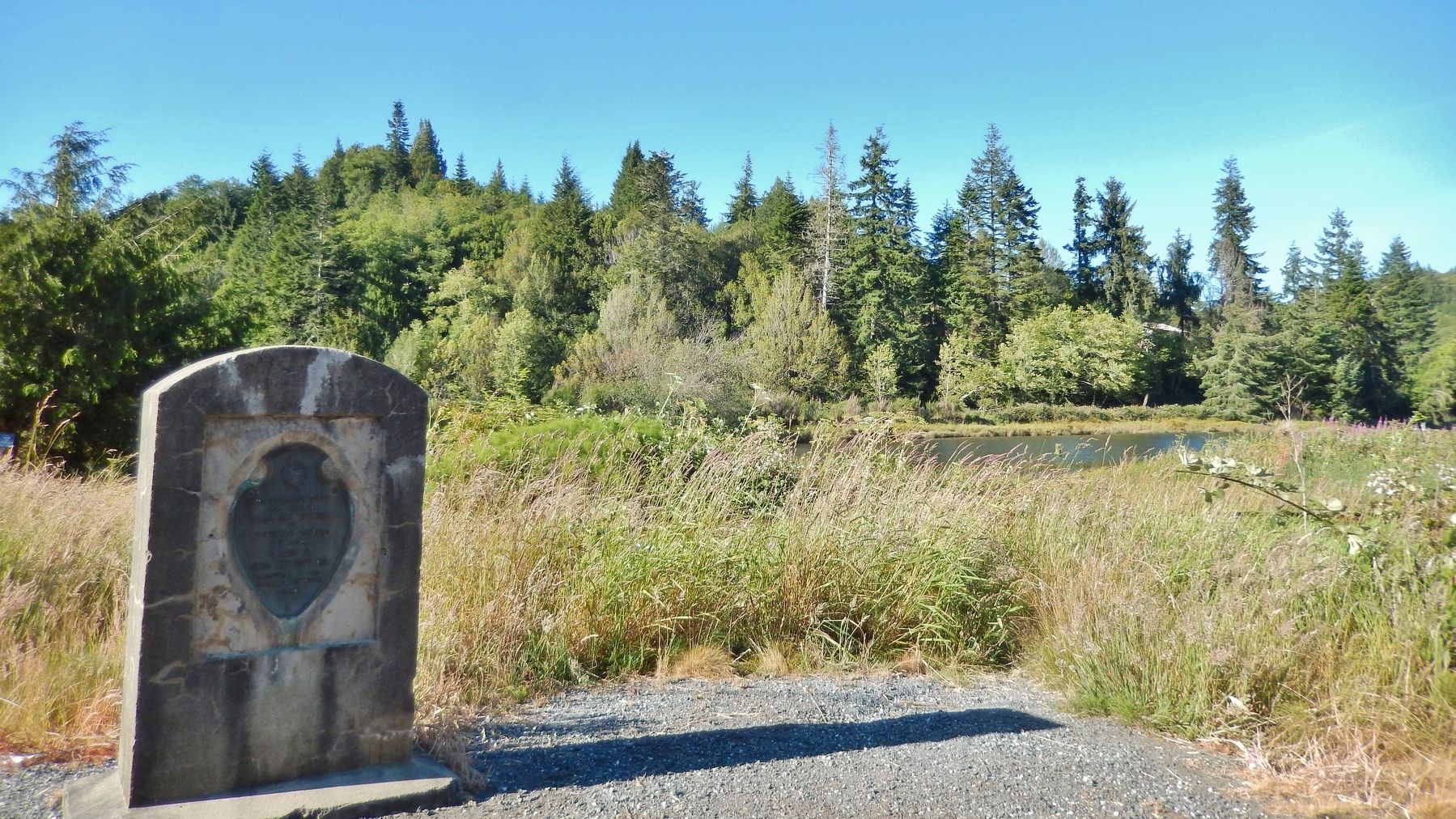
Location. 43° 15.542′ N, 124° 13.448′ W. Marker is near Coos Bay, Oregon, in Coos County. Marker is on Oregon Route 42 north of Confusion Hill Road, on the right when traveling north. Marker is located in a pull-out on the northeast side of the highway, near Manning Gulch. Touch for map. Marker is in this post office area: Coos Bay OR 97420, United States of America. Touch for directions.
Other nearby markers. At least 8 other markers are within 8 miles of this marker, measured as the crow flies. Spruce Soldiers (approx. 6 miles away); Haldane "Buzz" Holmstrom (approx. 6 miles away); Steam Engine No. 104 (approx. 7.1 miles away); Caboose No. 1134 (approx. 7.1 miles away); Caboose No. 11269 (approx. 7.1 miles away); Transportation (approx. 7˝ miles away); a different marker also named Transportation (approx. 7˝ miles away); a different marker also named Transportation (approx. 7˝ miles away). Touch for a list and map of all markers in Coos Bay.
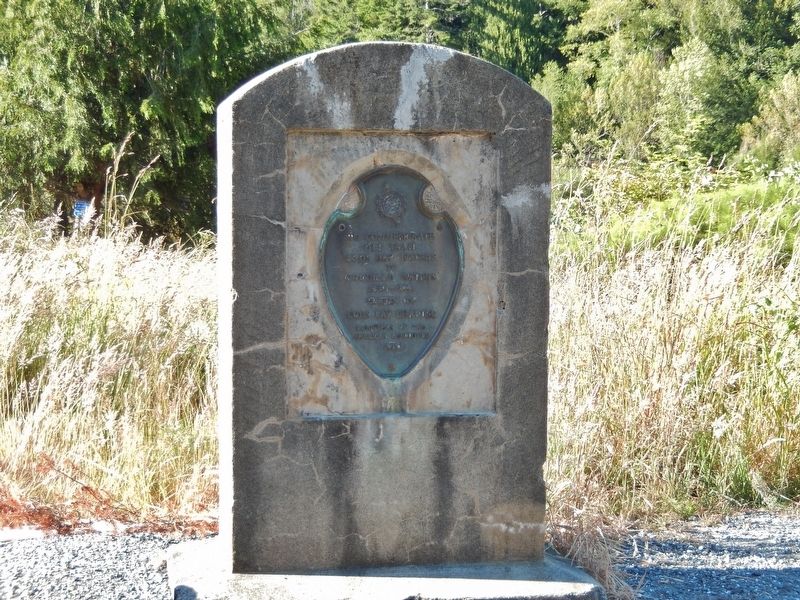
More about this marker. Marker is a bronze tablet mounted on a concrete slab.
Also see . . .
1. Historic monument is ... On the road again.
Native Americans were the first to use a trail near Overland to get from the from Beaver Slough in the Coquille Valley to the head of Isthmus Slough on Coos Bay. When settlers arrived, they widened the trail, then put down logs to form a so-called corduroy road over which oxen pulled freight on a sled. Later, wooden rails topped with iron were laid, and a mule could pull a freight car over the divide. Around 1874, the Isthmus Transit Railroad was started. Track was laid for a steam locomotive that could haul freight and the newly discovered coal between the two waterways. (Submitted on February 20, 2018, by Cosmos Mariner of Cape Canaveral, Florida.)
2. Tracks along the Slough.
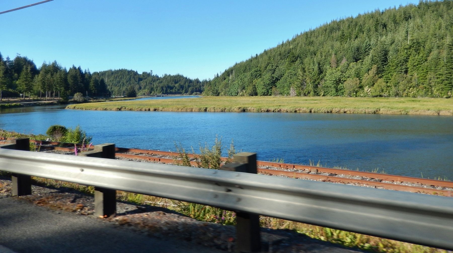
A tram line, using handcarts and mule pulled cars, was built in 1871 and named The Isthmus Transit Rail line. It connected the head of Isthmus Slough with the head of Beaver Slough on two miles of wooden rails, providing a link between steamboats serving the Coos Bay and the Coquille drainages. It became the Isthmus Slough Transit Railroad when it was
taken over by the Coos Bay Union Coal and Navigation Company in 1874.
This led to an expansion, with real narrow gauge steel rails from Utter City, approximately at the current Highway 101 and Highway 42 junction, five miles south to Carbondale, the location of the Utter and Ojeda coal mine. (Submitted on February 20, 2018, by Cosmos Mariner of Cape Canaveral, Florida.)
3. Isthmus Transit Railroad.
One feature of Coos Bay was that one shallow southern arm called Isthmus Slough reaches south almost to Beaver Slough, a shallow north-extending branch of the Coquille River. In 1869 Judge Gilbert Hall built a mule-hauled portage railway across the Isthmus. This line consisted of wooden rails laid on rough wooden sleepers, with trestles crossing the ravines that were encountered along the route. Smaller steamboats would run up Isthmus Slough to the north landing to connect to the portage railway, where passengers and freight would be transferred to a wagon, and then hauled across the isthmus to Hall's southern landing on Beaver Slough. Once at the south landing, canoes and small unpowered boats would carry passengers and freight south to the Coquille River. The journey was about 6 miles from the north landing to the Coquille River. It took one day to make the trip. (Submitted on February 20, 2018, by Cosmos Mariner of Cape Canaveral, Florida.)
Credits. This page was last revised on February 20, 2018. It was originally submitted on February 20, 2018, by Cosmos Mariner of Cape Canaveral, Florida. This page has been viewed 353 times since then and 43 times this year. Photos: 1, 2, 3, 4. submitted on February 20, 2018, by Cosmos Mariner of Cape Canaveral, Florida. • Andrew Ruppenstein was the editor who published this page.


