Washington in St. Landry Parish, Louisiana — The American South (West South Central)
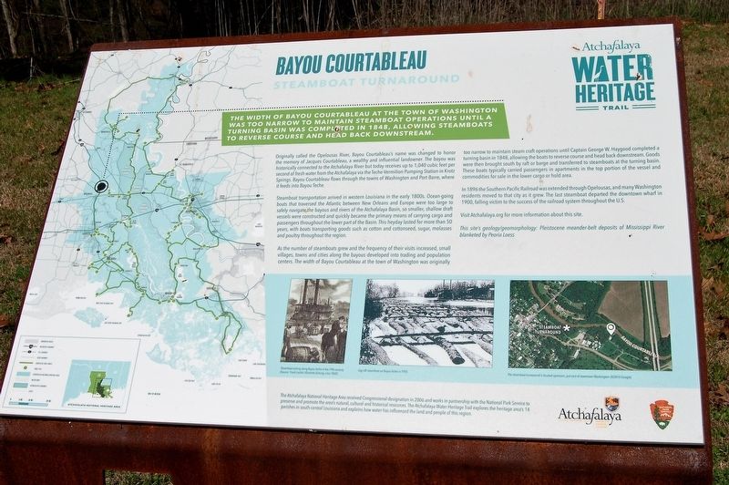
Bayou Courtableau
Steamboat Turnaround
— Atchafalaya Water Heritage Trail —
The width of Bayou Courtableau at the Town of Washington was too narrow to maintain steamboat operations until a turning basin was completed in 1848, allowing steamboats to reverse course and head back downstream.
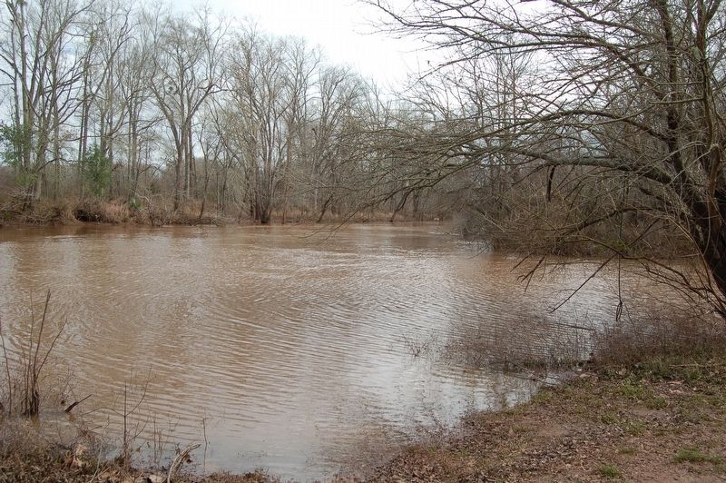
Originally called the Opelousas River, Bayou Courtableau’s name was changed to honor the memory of Jacques Courtableau, a wealthy and influential landowner. The bayou was historically connected to the Atchafalaya River but today receives up to 1,040 cubic feet per second of fresh water from the Atchafalaya via the Teche-Vermilion Pumping Station in Krotz Springs. Bayou Courtableau flows through the towns of Washington and Port Barre, where it feeds into Bayou Teche.
Steamboat transportation arrived in western Louisiana in the early 1800s. Ocean-going boats that traversed the Atlantic between New Orleans and Europe were too large to safely navigate the bayous and rivers of the Atchafalaya Basin, so smaller, shallow draft vessels were constructed and quickly became the primary means of carrying cargo and passengers throughout the lower part of the Basin. This heyday lasted for more than 50 years, with boats transporting goods such as cotton and cottonseed, sugar, molasses and poultry throughout the region.
As the number of steamboats grew and the frequency of their visits increased, small villages, towns and cities along the bayous developed into trading and population centers. The width of Bayou Courtableau at the town of Washington was originally too narrow to maintain steam craft operations until Captain George W. Haygood completed a turning basin in 1848, allowing the boats to reverse course and head back downstream. Goods were then brought south by raft or barge and transferred to steamboats at the turning basin. These boats typically carried passengers in apartments in the top portion of the vessel and commodities for sale in the lower cargo or hold area.
In 1896 the Southern Pacific Railroad was extended through Opelousas, and many Washington residents moved to that city as it grew. The last steamboat departed the downtown wharf in 1900, falling victim to the success of the railroad system throughout the U.S.
Visit Atchafalaya.org for more information about this site.
This site’s geology/geomorphology: Pleistocene meander-belt deposits of Mississippi River blanketed by Peoria Loess
Erected by State of Louisiana and National Park Service.
Topics and series. This historical marker is listed in these topic lists: Environment • Waterways & Vessels. In addition, it is included in the Atchafalaya Water Heritage Trail series list.
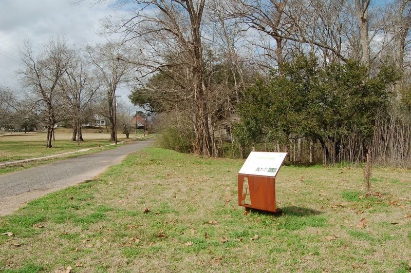
Location. 30° 36.912′ N, 92° 3.202′ W. Marker is in Washington, Louisiana, in St. Landry Parish. Marker is at the intersection of St. Landry Veterans Memorial Highway (State Highway 103) and Water Street, on the right when traveling north on St. Landry Veterans Memorial Highway. Touch for map. Marker is at or near this postal address: 529 St Landry Veterans Memorial Hwy, Washington LA 70589, United States of America. Touch for directions.
Other nearby markers. At least 8 other markers are within walking distance of this marker. Lettsworth Methodist Church (within shouting distance of this marker); Washington (about 400 feet away, measured in a direct line); Fallen Comrades Memorial (about 600 feet away); Hinckley House (about 600 feet away); Jean Marie Lalanne House (about 700 feet away); Dominque Lalanne House and Store (approx. 0.2 miles away); Ethel Park (approx. 0.2 miles away); Captain James Capps / Phil Wartelle House (approx. 0.2 miles away). Touch for a list and map of all markers in Washington.
Credits. This page was last revised on December 1, 2023. It was originally submitted on February 22, 2018, by Cajun Scrambler of Assumption, Louisiana. This page has been viewed 1,141 times since then and 301 times this year. Photos: 1, 2, 3. submitted on February 22, 2018.


