Near Fredericksburg in Spotsylvania County, Virginia — The American South (Mid-Atlantic)
First Day at Chancellorsville
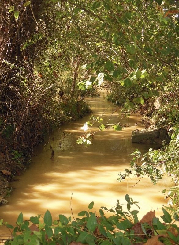
Retreat Over Mott's Run
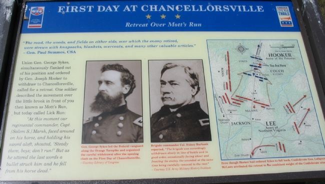
- Gen. Paul Semmes, CSA
Union Gen. George Sykes, simultaneously flanked out of his position and ordered by Gen. Joseph Hooker to withdraw to Chancellorsville, called for a retreat. One soldier described the movement over the little brook in front of you then known as Mott's Run, but today called Lick Run:
"At this moment our regimental commander, Capt. [Salem S.] Marsh, faced around on his horse, and holding his sword aloft, shouted, 'Steady there, boys; don't run!' But as he uttered the last words a bullet struck him and he fell from his horse dead."
Erected 2008 by Virginia Civil War Trails.
Topics and series. This historical marker is listed in this topic list: War, US Civil. In addition, it is included in the Virginia Civil War Trails series list.
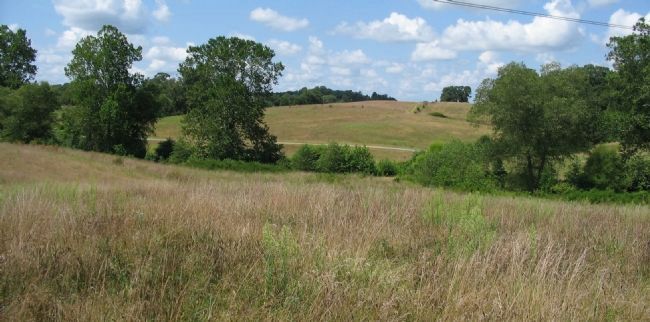
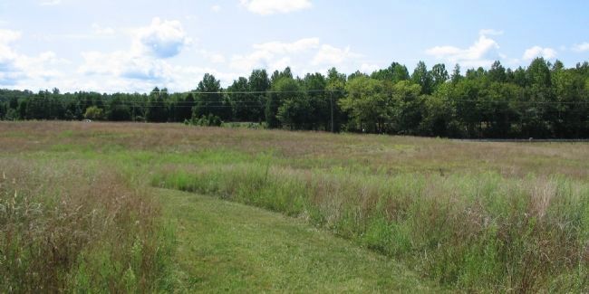
Location. 38° 17.911′ N, 77° 36.048′ W. Marker is near Fredericksburg, Virginia, in Spotsylvania County. Marker can be reached from Plank Road / Germanna Highway (State Highway 3), on the right when traveling west. Located along the Civil War Preservation Trust's walking trail through the First Day at Chancellorsville Battlefield. Touch for map. Marker is at or near this postal address: 7830 General Wright Dr, Fredericksburg VA 22407, United States of America. Touch for directions.
Other nearby markers. At least 8 other markers are within walking distance of this marker. A different marker also named First Day at Chancellorsville (about 600 feet away, measured in a direct line); a different marker also named First Day at Chancellorsville (approx. ¼ mile away); a different marker also named The First Day at Chancellorsville (approx. 0.3 miles away); a different marker also named First Day at Chancellorsville (approx. 0.3 miles away); Chancellorsville Campaign (approx. 0.3 miles away); a different marker also named Chancellorsville Campaign (approx. 0.3 miles away); a different marker also named First Day at Chancellorsville (approx. 0.4 miles away); a different marker also named First Day at Chancellorsville (approx. 0.4 miles away). Touch for a list and map of all markers in Fredericksburg.
More about this marker. In the center are two portraits:
Gen. George Sykes led the Federal vanguard along the Orange Turnpike and organized the careful withdrawal after the opening clash on the First Day of Chancellorsville.
Next to Sykes' portrait:
Brigade commander Col. Sidney Burbank reported, "The brigade was accordingly withdrawn slowly in line of battle and in good order,
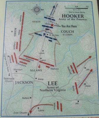
On the right a map details the Federal withdrawal. Even though Hooker had ordered Sykes to fall back, Confederate Gen. Lafayette McLaws attributed the retreat to the combined weight of the Confederate attack.
Credits. This page was last revised on April 25, 2023. It was originally submitted on September 13, 2008, by Craig Swain of Leesburg, Virginia. This page has been viewed 1,846 times since then and 38 times this year. Photos: 1. submitted on September 13, 2008, by Craig Swain of Leesburg, Virginia. 2. submitted on March 13, 2009, by Craig Swain of Leesburg, Virginia. 3, 4. submitted on September 13, 2008, by Craig Swain of Leesburg, Virginia. 5. submitted on April 22, 2023, by Bill Coughlin of Woodland Park, New Jersey. 6, 7. submitted on September 13, 2008, by Craig Swain of Leesburg, Virginia. 8. submitted on June 10, 2021, by Bradley Owen of Morgantown, West Virginia.
