Auburn in Gwinnett County, Georgia — The American South (South Atlantic)
Stone Structures
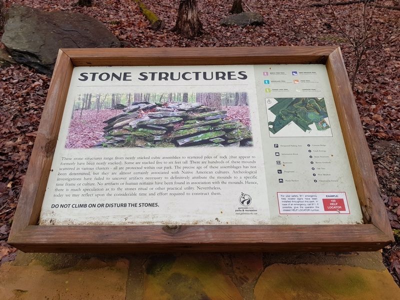
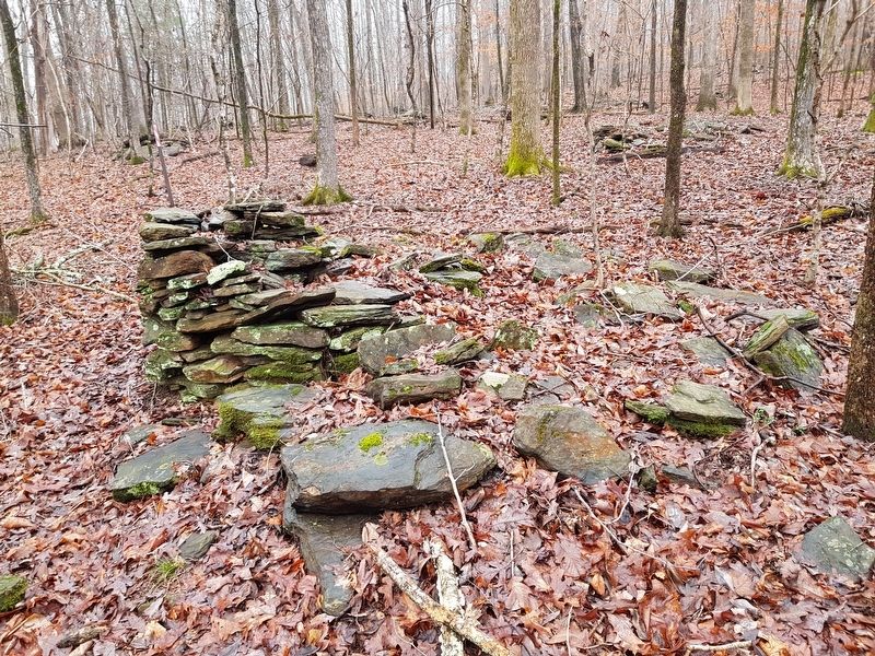
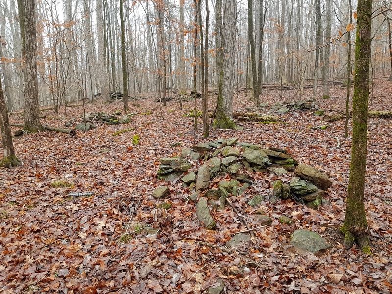
These stone structures range from neatly stacked cubic assemblies to scattered piles of rock (that appear to formerly have been neatly stacked). Some are stacked five to six feet tall. There are hundreds of these mounds scattered in various clusters - all are protected within our park. The precise age of these assemblages has not been determined, but they are almost certainly associated with Native American cultures. Archeological investigations have failed to uncover artifacts as necessary to definitively attribute the mounds to a specific time frame or culture. No artifacts or human remains have been found in association with the mounds. Hence, there is much speculation as to the stones ritual or other practical utility. Nevertheless, today we may reflect upon the considerable time and effort required to construct them.
Do not climb on or disturb the stones.
Erected by Gwinnett County Parks and Recreation.
Topics. This historical marker is listed in these topic lists: Anthropology & Archaeology • Native Americans • Parks & Recreational Areas • Settlements & Settlers.
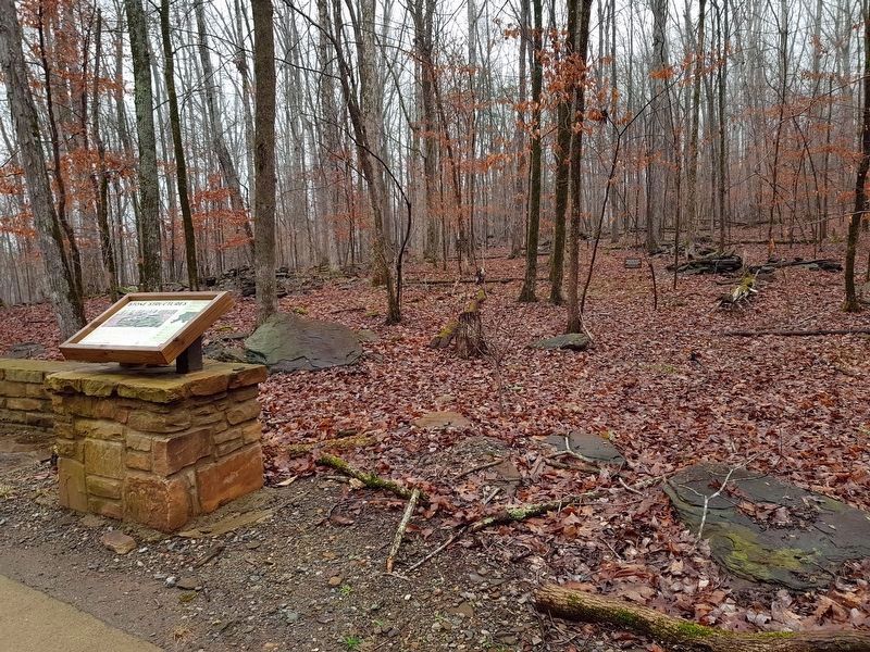
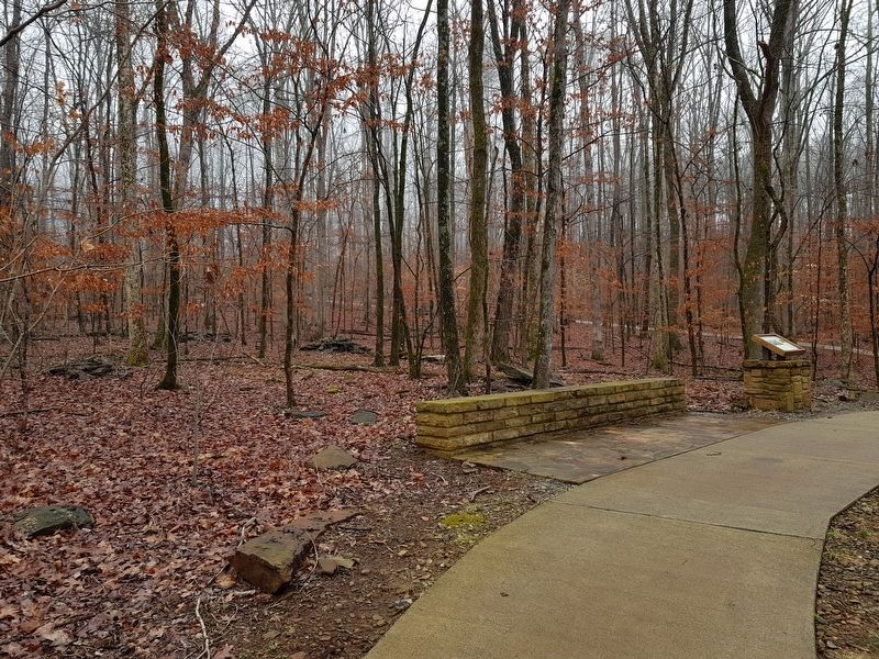
Location. 34° 2.485′ N, 83° 53.361′ W. Marker is in Auburn, Georgia, in Gwinnett County. Marker is on Ravine Loop Trail, on the right when traveling west. The marker and one group of the stones can be seen about one mile along the Ravine Loop Trail at Little Mulberry Park. Touch for map. Marker is at or near this postal address: 3855 Fence Road NE, Auburn GA 30011, United States of America. Touch for directions.
Other nearby markers. At least 8 other markers are within 2 miles of this marker, measured as the crow flies. Old Oak Tree (approx. 0.4 miles away); Little Mulberry Park (approx. 0.7 miles away); Karina Miller Nature Preserve (approx. one mile away); The Elisha Winn House (approx. 1.6 miles away); a different marker also named The Elisha Winn House (approx. 1.6 miles away); a different marker also named The Elisha Winn House (approx. 1.6 miles away); a different marker also named The Elisha Winn House (approx. 1.6 miles away); a different marker also named The Elisha Winn House (approx. 1.6 miles away). Touch for a list and map of all markers in Auburn.
Regarding Stone Structures. The stone structures described here on the marker were a subject of great debate and controversy in the early 1990s, as a developer sought rezoning of the area for residential development. There was a difference of opinion about the origin of the structures and whether they were prehistoric (and thus related to Native American burial or ceremonial practices) or historic and related to the settlement of this area of Georgia in the early to mid-1800s. Before
the issue was completely settled, the Gwinnett County government purchased the property in order to form Little Mulberry Park. The archaeologist Thomas Gresham appears to have had the last word on the subject, with an article he wrote for The Society of Georgia Archaeology (Fall, 2003), where he describes finding an 1838 penny and other similarly dated historic artifacts under at least two of the piles. A relevant portion of his article includes the following:
Our more precise mapping of the 187-acre tract led to the recording of 571 rock piles. Regarding the principal issue of which, if any, are Indian burials, we believe that the existing evidence strongly supports the conclusion that none contain or mark Indian burials. Certainly the sample of eight rock piles in the Strickland and Parks clusters reported here contained no evidence of burials or cremations, such as human bone, ash or burned soil, prehistoric artifacts, or pits. Most significantly, two of the piles, S74 and S75 in the Strickland complex, contained numerous early nineteenth-century artifacts underneath the piles, unambiguously demonstrating a historic period dating of those two. The latter of these, Rock Pile S75, is a partially stacked pile that closely resembles numerous other piles in the Strickland Complex and elsewhere on the tract. By analogy and association, we conclude that all the piles in the Strickland and Parks Clusters are of historic period origin. By further analogy and association, coupled with the results of the 1994 excavation of four piles, we conclude that it is most likely that all piles, stacked and unstacked, on the tract are of historic period origin.
Of special note is that a cluster of historic period metal artifacts was identified with use of a metal detector in the area around Rock Pile S74 in the Strickland cluster. It appears that Rock Pile S74 is a chimney stub, although its base was not clearly discerned. Two metal artifacts from near Rock Pile S74 are especially interesting. One is an 1838 one-cent coin that helps date the pile (the 1838 date is consistent with the ceramics from the pile). The other is a pointed metal piece that has been identified by a rock mason and the Elberton Granite Museum as the bit to a rock splitting tool. It is almost certain that this rock splitting tool was used to shape some of the rock found in the Strickland Cluster of piles and that rock working was a significant activity at the Parks-Strickland site.
Photographed By J. Makali Bruton, February 19, 2018
6. The additional, nearby Creek Ecology Marker
This marker is some hundred yards or so further along the Ravine Loop Trail.
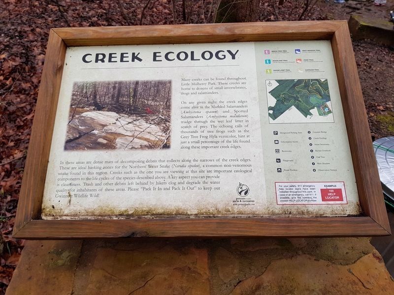
Creek Ecology
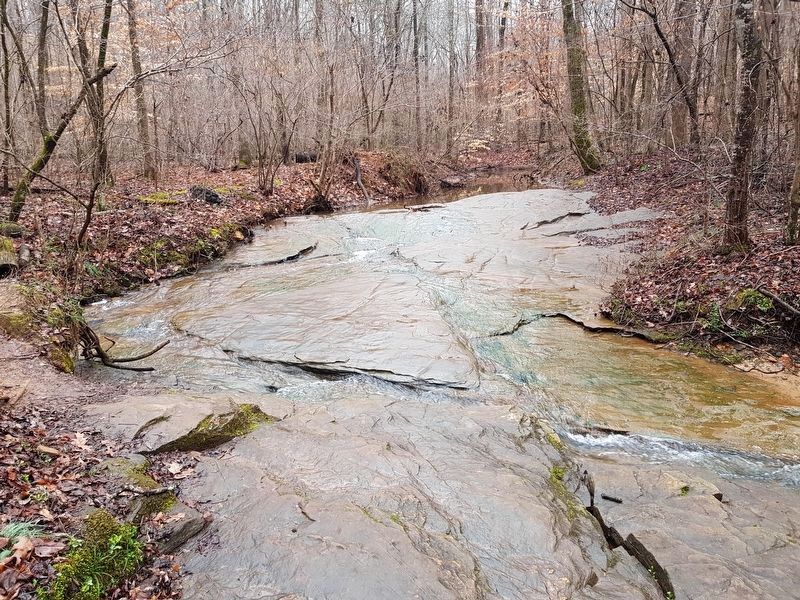
Many creeks can be found throughout Little Mulberry Park. These creeks are home to dozens of small invertebrates, frogs and salamanders. On any given night the creek edges come alive as the Marbled Salamanders (Ambystoma opacum) and Spotted Salamanders (Ambystoma maculatum) trudge through the wet leaf litter in search of prey. The echoing calls of thousands of tree frogs such as the Grey Tree Frog Hyla versicolor, hint at just a small percentage of the life found along these important creek edges.
In these areas are dense mats of decomposing debris that collects along the narrows of the creek edges. These are ideal basking zones for the Northern Water Snake (Nerodia sipedon), a common non-venomous snake found in this region. Creeks such as the one you are viewing at this site are important ecological components to the life cycles of the species described above. The key aspect you can provide is cleanliness. Trash and other debris left behind by hikers clog and degrade the water quality for inhabitants of these areas. Please “Pack It In and Pack It Out” to keep Gwinnett Wildlife Wild!
Credits. This page was last revised on November 27, 2020. It was originally submitted on February 24, 2018, by J. Makali Bruton of Accra, Ghana. This page has been viewed 929 times since then and 87 times this year. Photos: 1, 2, 3, 4, 5, 6, 7. submitted on February 24, 2018, by J. Makali Bruton of Accra, Ghana.
