Seaside in Clatsop County, Oregon — The American West (Northwest)
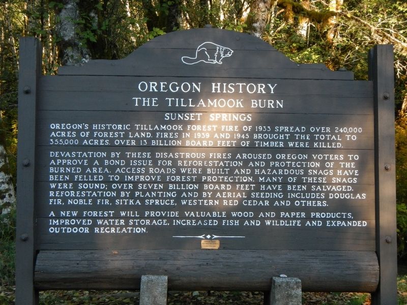
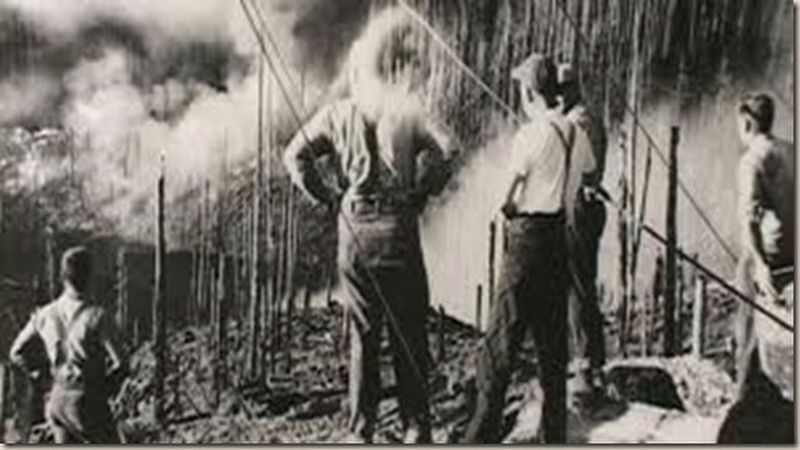
The Tillamook Burn
Sunset Springs
Devastation by these disastrous fires aroused Oregon voters to approve a bond issue for reforestation and protection of the burned area. Access roads were built and hazardous snags have been felled to improve forest protection. Many of these snags were sound; over seven billion board feet have been salvaged. Reforestation by planting and by aerial seeding have included Douglas Fir, Noble Fir, Sitka Spruce, Western Red Cedar and others.
A new forest will provide valuable wood and paper products, improved water storage, increased fish and wildlife and expanded outdoor recreation.
Erected by Oregon Travel Experience.
Topics and series. This historical marker is listed in these topic lists: Disasters • Horticulture & Forestry. In addition, it is included in the Oregon Beaver Boards series list.
Location. 45° 47.736′ N, 123° 27.516′ W. Marker is in Seaside, Oregon, in Clatsop County. Marker is on Sunset Highway (Route 26 at milepost 28) near Olson Road. Touch for map. Marker is in this post office area: Seaside OR 97138, United States of America. Touch for directions.
Other nearby markers. At least 2 other markers are within walking distance of this marker. 41st Infantry Division (within shouting distance of this marker); Dennis L. Edwards Tunnel (about 400 feet away, measured in a direct line).
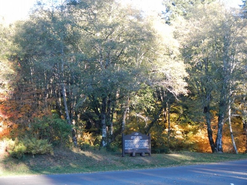
More about this marker. The marker is located at the Sunset Springs Rest Area.
Credits. This page was last revised on October 14, 2020. It was originally submitted on February 9, 2018, by Barry Swackhamer of Brentwood, California. This page has been viewed 424 times since then and 24 times this year. Last updated on February 25, 2018, by T. Patton of Jefferson, Georgia. Photos: 1, 2, 3. submitted on February 9, 2018, by Barry Swackhamer of Brentwood, California.


