Pleasant Grove West in Chesapeake, Virginia — The American South (Mid-Atlantic)
Outliers
Dismal Swamp Canal Trail
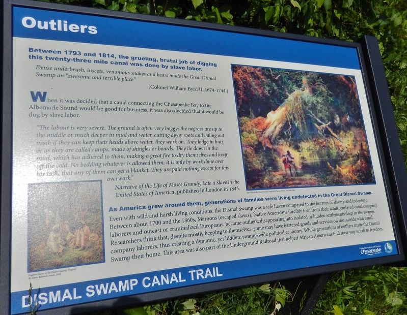
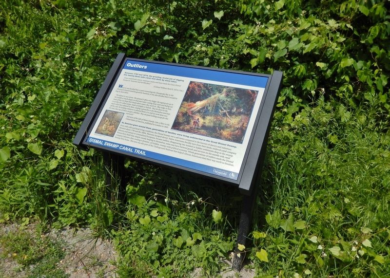
Between 1793 and 1814, the grueling, brutal job of digging this twenty-three mile canal was done by slave labor.
Dense underbrush, insects, venomous snakes and bears made the Great Dismal Swamp an "awesome and terrible place."
(Colonel William Byrd II, 1674-1744)
When it was decided that a canal connecting the Chesapeake Bay to the Albemarle Sound would be good for business, it was also decided that it would be dug by slave labor.
"The labour is very severe. The ground is often very boggy: the negroes are up to the middle or much deeper in mud and water, cutting away roots and baling out mud; if they can keep their heads above water, they work on. They lodge in huts, or as they are called camps, made of shingles or boards. They lie down in the mud, which has adhered to them, making a great fire to dry themselves and keep off the cold. No bedding whatever is allowed them; it is only by work done over his task, that any of them can get a blanket. They are paid nothing except for this overwork."
Narrative of the Life of Moses Grandy, Late a Slave in the United States of America, published in London in 1843.
As America grew around them, generations of families were living undetected in the Great Dismal Swamp.
Even with wild and harsh living conditions, the Dismal Swamp was a safe haven compared to the horrors of slavery and indenture. Between about 1700 and the 1860s, Maroons (escaped slaves), Native Americans forcibly torn from their lands, enslaved canal company laborers and outcast or criminalized Europeans, became outliers, disappearing into isolated or hidden settlements deep in the swamp. Researchers think that, despite mostly keeping to themselves, some may have bartered goods and services on the outside with canal company laborers, thus creating a dynamic, yet hidden, swamp-wide political economy. Whole generations of outliers made the Dismal Swamp their home. This area was also part of the Underground Railroad that helped African Americans find their way north to freedom.
Erected by Parks, Recreation and Tourism, Chesapeake, Virginia.
Topics. This historical marker is listed in these topic lists: Abolition & Underground RR • African Americans • Industry & Commerce • Waterways & Vessels. A significant historical year for this entry is 1793.
Location. 36° 38.539′ N, 76° 22.296′ W. Marker is in Chesapeake, Virginia. It is in Pleasant Grove West. Marker can be reached from Dismal Swamp Canal Trail, 3.6 miles south of George Washington Highway South (Business U.S. 17), on the right when traveling south. Marker is located on the Dismal Swamp Canal Trail, 3 miles south from the North Trailhead. Touch for map. Marker is in this post office area: Chesapeake VA 23323, United States of America. Touch for directions.
Other nearby markers. At least 8 other markers are within 3 miles of this marker, measured as the crow flies. Stone Mileposts along the Dismal Swamp Canal (approx. ¼ mile away); Dismal Swamp Canal (approx. 0.3 miles away); From Towpath...to Highway...to "Toe" path (approx. 1.4 miles away); The Superintendent's House... from Tolls to Tea (approx. 2 miles away); Glencoe (approx. 2.6 miles away); North West Canal (approx. 2.6 miles away); Herring (Heron) Ditch (approx. 2.8 miles away); Dismal Swamp Canal Trail (approx. 3 miles away). Touch for a list and map of all markers in Chesapeake.
Related markers. Click here for a list of markers that are related to this marker. Dismal Swamp Canal Trail
Also see . . .
1. Dismal Swamp Canal, Chesapeake. Visit Chesapeake website entry:
The hand-dug waterway's colorful past has endured periods of both prosperity and neglect. In 1862 during the Civil War, the Dismal Swamp Canal strategically functioned as an alternate supply route for the Confederacy. Using the waterway, Confederate troops were able to bypass Union blockades along the N.C. coast until Union forces eventually captured the canal later that year. The canal - and the surrounding area - have also been identified as a station along the Underground Railroad. Unknown numbers of freedom seekers sought refuge in the Great Dismal Swamp's thick cover and along the canal's banks. (Submitted on March 1, 2018, by Cosmos Mariner of Cape Canaveral, Florida.)
2. Dismal Swamp Canal. Wikipedia entry:
In 1784, the Dismal Swamp Canal Company was created. Work was started in 1793. The canal was dug completely by hand; most of the labor was done by slaves hired from nearby landowners. It took approximately 12 years of back-breaking construction under highly unfavorable conditions to complete the 22-mile long waterway, which opened in 1805. (Submitted on March 1, 2018, by Cosmos Mariner of Cape Canaveral, Florida.)
3. Dismal Swamp Canal History. North Carolina History project website entry:
Just prior to the Civil War, the Dismal Swamp became a popular haven for escaped slaves. This prompted numerous efforts to hunt down the runaways. The runaways pilfered supplies from traders and the canal company. The Dismal Swamp was the setting for Harriet Beecher Stowe’s Dred: A Tale of the Great Dismal Swamp, but the book never achieved the same level of popularity as Uncle Tom’s Cabin. (Submitted on March 1, 2018, by Cosmos Mariner of Cape Canaveral, Florida.)
Credits. This page was last revised on March 14, 2024. It was originally submitted on March 1, 2018, by Cosmos Mariner of Cape Canaveral, Florida. This page has been viewed 425 times since then and 42 times this year. Last updated on November 25, 2022, by Carl Gordon Moore Jr. of North East, Maryland. Photos: 1, 2. submitted on March 1, 2018, by Cosmos Mariner of Cape Canaveral, Florida. • Devry Becker Jones was the editor who published this page.

