Mount Pleasant Park in Baltimore, Maryland — The American Northeast (Mid-Atlantic)
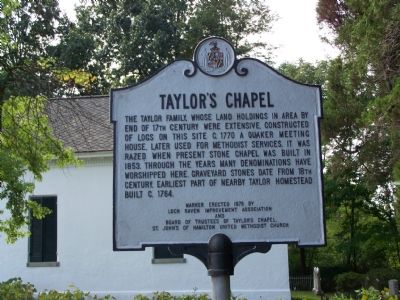
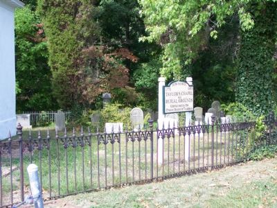
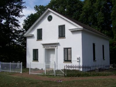
Taylorís Chapel
Erected 1976 by Loch Raven Improvement Association and Board of Trustees of Taylorís Chapel, St. Johnís of Hamilton United Methodist Church.
Topics and series. This historical marker is listed in these topic lists: Cemeteries & Burial Sites • Churches & Religion. In addition, it is included in the Quakerism series list. A significant historical year for this entry is 1770.
Location. 39° 21.773′ N, 76° 34.634′ W. Marker is in Baltimore, Maryland. It is in Mount Pleasant Park. Marker can be reached from Hillen Road. Marker and chapel is on grounds of Mt. Pleasant Golf Course. Touch for map. Marker is in this post office area: Baltimore MD 21239, United States of America. Touch for directions.
Other nearby markers. At least 8 other markers are within 2 miles of this marker, measured as the crow flies. Morgan State University (approx. 0.7 miles away); April D. Ryan (approx. one mile away); Rochelle Stevens (approx. one mile away); William C. (Bill) Rhoden (approx. one mile away); Tivoli (approx. one mile away); Holmes Hall (approx. 1.1 miles away); Frederick Douglass (approx. 1.2 miles away); Carnegie Hall (approx. 1.2 miles away). Touch for a list and map of all markers in Baltimore.
Credits. This page was last revised on December 16, 2020. It was originally submitted on September 20, 2007, by Bill Pfingsten of Bel Air, Maryland. This page has been viewed 2,216 times since then and 26 times this year. Last updated on March 3, 2018, by Devry Becker Jones of Washington, District of Columbia. Photos: 1, 2, 3. submitted on September 20, 2007, by Bill Pfingsten of Bel Air, Maryland. • Andrew Ruppenstein was the editor who published this page.


