Near White Haven in Luzerne County, Pennsylvania — The American Northeast (Mid-Atlantic)
River Ran Black
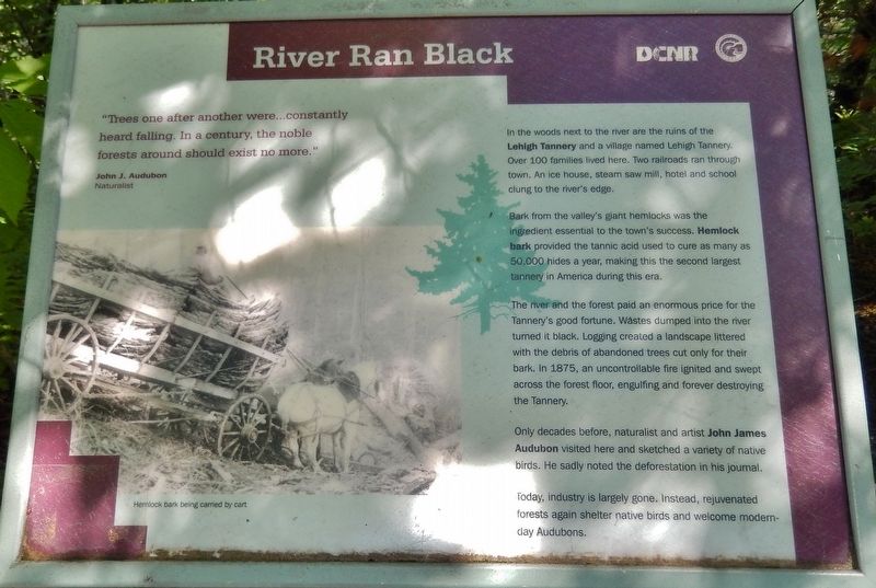
"Trees one after another were… constantly heard falling. In a century, the noble forests around should exist no more.”
John J. Audubon
Naturalist
In the woods next to the river are the ruins of the Lehigh Tannery and a village named Lehigh Tannery. Over 100 families lived here. Two railroads ran through town. An ice house, steam saw mill, hotel and school clung to the river's edge.
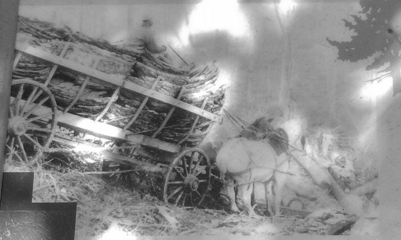
Bark from the valley's giant hemlocks was the ingredient essential to the town's success. Hemlock bark provided the tannic acid used to cure as many as 50,000 hides a year, making this the second largest tannery in America during this era.
The river and the forest paid an enormous price for the Tannery's good fortune. Wastes dumped into the river turned it black. Logging created a landscape littered with the debris of abandoned trees cut only for their bark. In 1875, an uncontrollable fire ignited and swept across the forest floor, engulfing and forever destroying the Tannery.
Only decades before, naturalist and artist John James Audubon visited here and sketched a variety of native birds. He sadly noted the deforestation in his journal.
Today, industry is largely gone. Instead, rejuvenated forests again shelter native birds and welcome modern-day Audubons.
Erected by Pennsylvania Department of Conservation and Natural Resources.
Topics and series. This historical marker is listed in these topic lists: Environment • Horticulture & Forestry • Industry & Commerce • Settlements & Settlers. In addition, it is included in the Lehigh Canal series list.
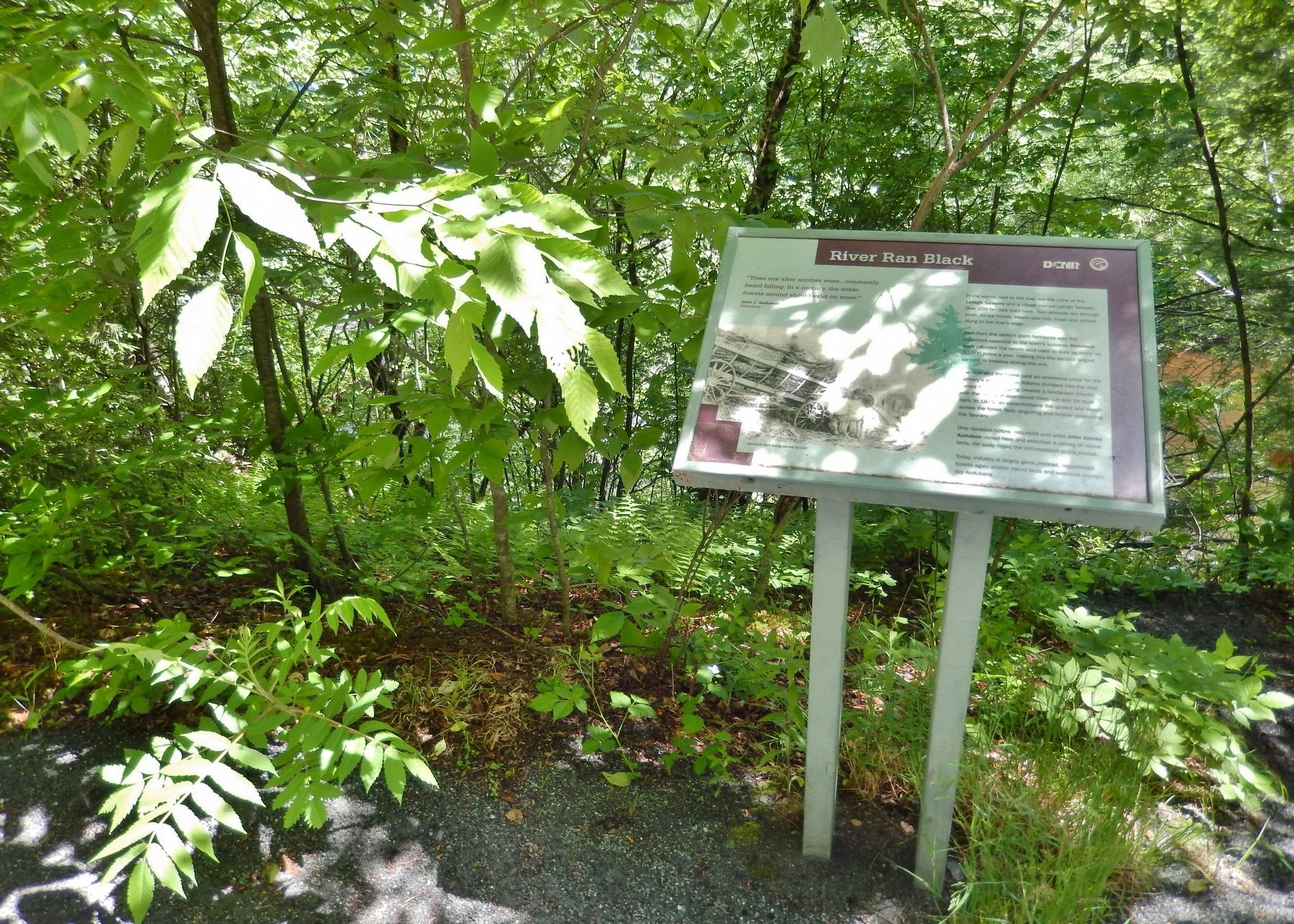
Location. 41° 2.272′ N, 75° 45.678′ W. Marker is near White Haven, Pennsylvania, in Luzerne County. Marker can be reached from Tannery Road west of River Road (Pennsylvania Route 534) when traveling south. Marker is located on the Lehigh Gorge Recreational Trail, south of the Lehigh Tannery Trailhead, and overlooking the river near the former site of Lehigh Tannery. Touch for map. Marker is at or near this postal address: Lehigh Gorge Trail, White Haven PA 18661, United States of America. Touch for directions.
Other nearby markers. At least 8 other markers are within 5 miles of this marker, measured as the crow flies. A different marker also named River Ran Black (about 300 feet away, measured in a direct line); Workers From All Nations (approx. one mile away); Exploring The Corridor (approx. 1.4 miles away); Thank Josiah White (approx. 1.4 miles away); White Haven (approx. 1.7 miles away); Disaster at Mud Run (approx. 4.2 miles away); A Revolution in Canal Technology (approx. 4.2 miles away); Engineering Marvel (approx. 4.3 miles away). Touch for a list and map of all markers in White Haven.
Also see . . . History of Lehigh Gorge State Park. Pennsylvania Department of Conservation and Natural Resources website entry:
Settlement was sparse during the 19th century until loggers arrived and began felling trees and building sawmills. Loggers continued to clearcut the huge white pine and hemlock trees for lumber and for the bark, which was used to tan hides. During the 1860s, the second largest tannery in the United States sat on the banks of the Lehigh River at the small town of Lehigh Tannery. A terrible forest fire swept through the Lehigh Gorge area in 1875, burning the remaining standing timber, many sawmills, and stockpiles of lumber. The sawmills closed and the loggers departed. (Submitted on March 4, 2018, by Cosmos Mariner of Cape Canaveral, Florida.)
Credits. This page was last revised on March 29, 2023. It was originally submitted on March 4, 2018, by Cosmos Mariner of Cape Canaveral, Florida. This page has been viewed 218 times since then and 16 times this year. Photos: 1, 2, 3. submitted on March 4, 2018, by Cosmos Mariner of Cape Canaveral, Florida. • Bill Pfingsten was the editor who published this page.


