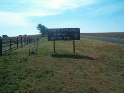
Near Cheyenne in Roger Mills County, Oklahoma — The American South (West South Central)
The Battle of the Washita
1868
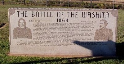
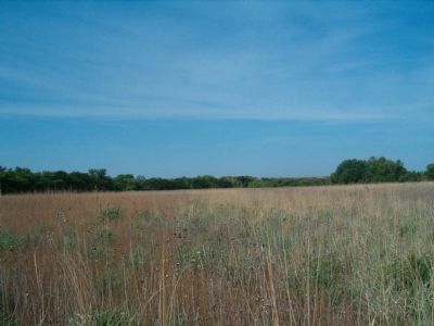
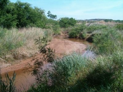
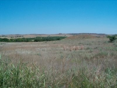
The Battle of the Washita, a major engagement in the Plains Indian War which established the western expansion of the United States was fought on this site. Col. George A. Custer’s command of 500 troopers from the 7th Cavalry, and a detachment of Scouts including the famed Ben Clark and the Osage, Hardrope, destroyed Chief Black Kettle’s Cheyenne village here on Nov. 27, 1868.
Black Kettle, Peace Leader of the Southern Cheyennes, had sought military assurance that he would not be attacked here. There were in his camp, however, young men who had taken part in war parties raiding in Kansas.
Custer’s command left Camp Supply on November 23. His scouts located the Cheyenne village on the night of November 26. After a forced march through a bitterly cold blizzard and deep snow, Custer deployed his command to surround the village, and at dawn, with the Regimental band playing “Gary Owen,” swept in to attack the sleeping Cheyennes.
The number of Indians killed in the fighting is a point of controversy. Custer claimed 103 warriors. In the report to the Secretary of the Interior (1869-70). Cheyennes set the total at 13 men, 16 women, and 9 children, including Black Kettle and his wife.
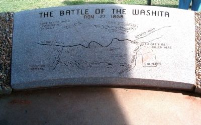
Captain Louis Hamilton, grandson of Alexander Hamilton, was one of two officers killed. Major Joel Elliott and a squad of troopers in pursuit of fleeing Cheyennes were trapped on Sergeant Major Creek beyond a mile from the village and killed to the last man.
The Cheyenne Lodges and winter supplies of food and buffalo robes were burned, while 875 of their horses were slaughtered. At nightfall, the cavalry returned toward Camp Supply with 53 women and children captives.
Topics and series. This historical marker is listed in these topic lists: Native Americans • Wars, US Indian. In addition, it is included in the National Historic Landmarks series list. A significant historical month for this entry is November 1856.
Location. 35° 37.058′ N, 99° 42.007′ W. Marker is near Cheyenne, Oklahoma, in Roger Mills County. Marker is on Alternate State Highway 47, on the right when traveling west. Touch for map. Marker is in this post office area: Cheyenne OK 73628, United States of America. Touch for directions.
Other nearby markers. At least 3 other markers are within 13 miles of this marker, measured as the crow flies. A different marker also named Battle of the Washita (approx. 1.6 miles away); Sandstone Creek Area (approx. 10.6 miles away); California Road (approx. 12˝ miles away).
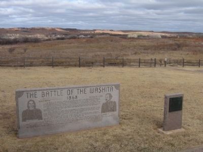
More about this marker. On the left side of the marker is an engraving of Peace Chief Black Kettle. On the right is engraved a portrait of Col. George A. Custer.
Directions to the
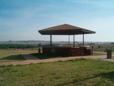
site: From I-40 take exit 20 (Sayre) and travel north on US-283 to Cheyenne. In Cheyenne take US-283 north until it intersects with Hwy 47. At the US-283 and Hwy 47 intersection travel west through Cheyenne and continue west half a mile and turn north on Hwy 47A. Continuing on Hwy 47A will take you to the new visitor center. By taking 47A a little farther you will find the historic site, featuring the park overlook and interpretive walking trail.
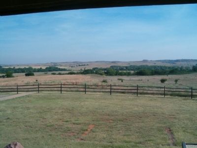
Regarding The Battle of the Washita. The Washita Battlefield National Historic Site protects and interprets the setting along the Washita River where Lt. Col. George A. Custer led the 7th U.S. Cavalry on a surprise dawn attack against the Southern Cheyenne village of Peace Chief Black Kettle on November 27, 1868. The attack was an important event in the tragic clash of cultures of the Indian Wars era.
Photographed By K Latham, August 21, 2005
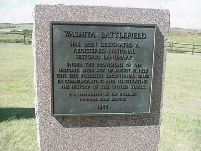
3. Washita Battlefield National Historic Landmark Marker
under the provisions of the Historic Sites Act of August 21, 1935. This site possesses exceptional value in commemorating and illustrating the history of the United States.
U.S. Department of the Interior
National Park Service
1965
Credits. This page was last revised on February 7, 2023. It was originally submitted on September 14, 2008, by Gary D. Carter of King George, Virginia. This page has been viewed 5,607 times since then and 118 times this year. Photos: 1, 2. submitted on September 18, 2008. 3. submitted on September 18, 2008, by Kevin W. of Stafford, Virginia. 4, 5, 6, 7, 8, 9, 10. submitted on September 14, 2008, by Gary D. Carter of King George, Virginia. • Kevin W. was the editor who published this page.
