Near Dayton in Montgomery County, Ohio — The American Midwest (Great Lakes)
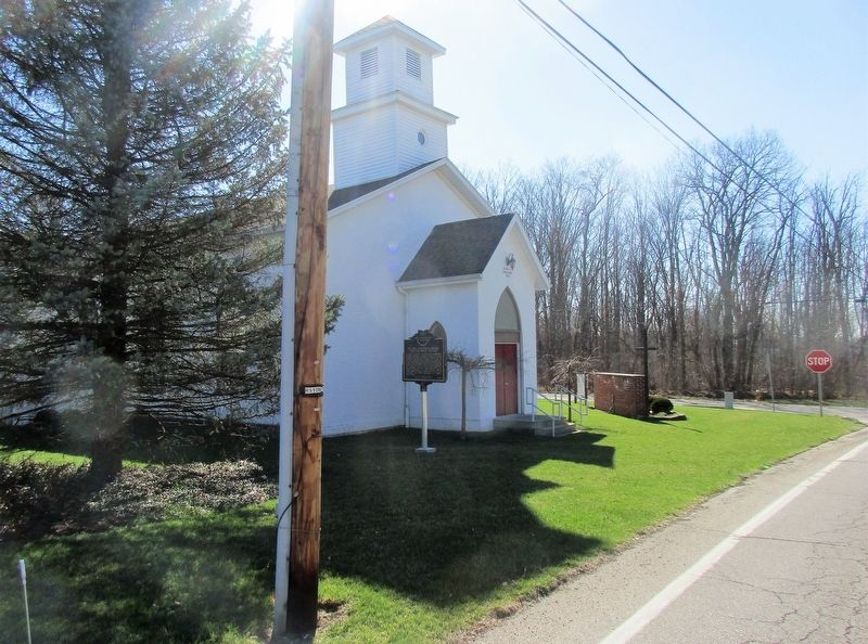
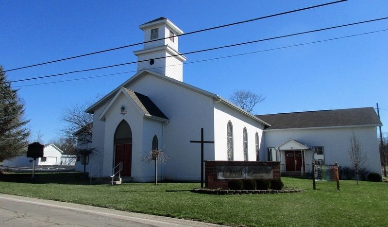
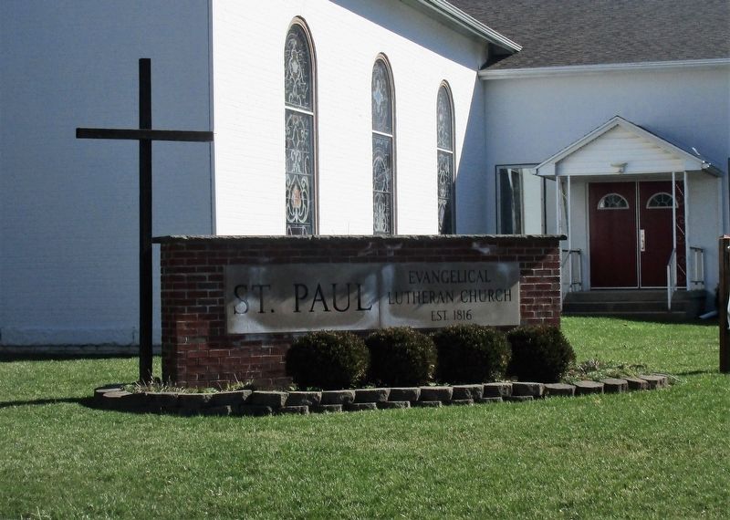
St Paul Lutheran Church Dog Leg Road, Dayton
Inscription.
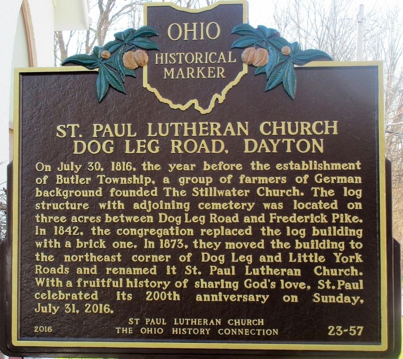
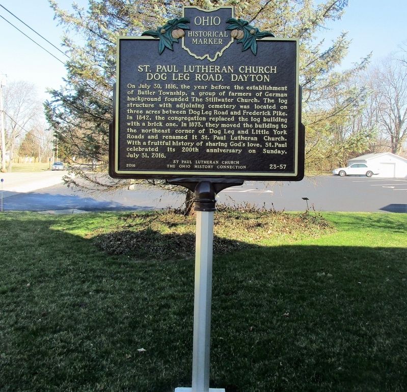
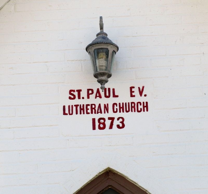
On July 30, 1816, the year before the establishment of Butler Township, a group of farmers of German background founded the Stillwater Church. The log structure with adjoining cemetery was located on three acres between Dog Leg Road and Frederick Pike. In 1842, the congregation replaced the log building with a brick one. In 1873, they moved the building to the northeast corner of Dog Leg and Little York Roads and renamed it St. Paul Lutheran Church. With a fruitful history of sharing God's love, St. Paul celebrated it's 200th anniversary on Sunday, July 31, 2016.
Erected 2016 by St. Paul Lutheran Church, The Ohio History Connection. (Marker Number 23- 57.)
Topics and series. This historical marker is listed in these topic lists: Churches & Religion • Settlements & Settlers. In addition, it is included in the Ohio Historical Society / The Ohio History Connection series list.
Location. 39° 51.558′ N, 84° 14.701′ W. Marker is near Dayton, Ohio, in Montgomery County. Marker is on Dog Leg Road near Little York Road, on the left when traveling south. Touch for map. Marker is at or near this postal address: 7700 Dog Leg Road, Dayton OH 45414, United States of America. Touch for directions.
Other nearby markers. At least 8 other markers are within 4 miles of this marker, measured as the crow flies . Vandalia Veterans Memorial (approx. 1.7 miles away); Englewood Dam (approx. 2 miles away); The Miami Conservancy District (approx. 2.1 miles away); Joseph Calvin Paul Memorial Boulevard (approx. 2˝ miles away); The Crossroads of America (approx. 3.2 miles away); Englewood (approx. 3.3 miles away); National Road US 40 (approx. 3.6 miles away); Englewood Veterans Monument (approx. 3.6 miles away).
Credits. This page was last revised on March 10, 2018. It was originally submitted on March 6, 2018, by Rev. Ronald Irick of West Liberty, Ohio. This page has been viewed 338 times since then and 15 times this year. Photos: 1, 2, 3, 4, 5, 6. submitted on March 6, 2018, by Rev. Ronald Irick of West Liberty, Ohio. • Bill Pfingsten was the editor who published this page.
