Annapolis in Anne Arundel County, Maryland — The American Northeast (Mid-Atlantic)
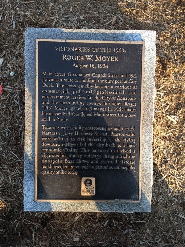
Roger W. Moyer
Visionaries of the 1960s
— August 16, 1934 —
Teaming with young entrepreneurs such as Ed Hartman, Jerry Hardesty & Paul Person-who were willing to risk investing in the dying downtown-Moyer led the city back to a new economic vitality. This partnership revived a vigorous hospitality industry, inaugurated the Annapolis Boat Shows and restored the historic buildings that are so much a part of our Annapolis quality of life today.
Charter 300
1708-2008
Erected 2008.
Topics. This historical marker is listed in these topic lists: Government & Politics • Industry & Commerce • Roads & Vehicles • Waterways & Vessels. A significant historical date for this entry is August 16, 1934.
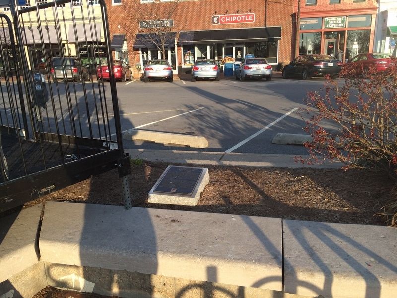
Location. 38° 58.653′ N, 76° 29.257′ W. Marker is in Annapolis, Maryland, in Anne Arundel County. Marker can be reached from the intersection of Main Street and Market Space, on the right when traveling west. Touch for map. Marker is at or near this postal address: 93 Main Street, Annapolis MD 21401, United States of America. Touch for directions.
Other nearby markers. At least 8 other markers are within walking distance of this marker. Alfred A. Hopkins Plaza (here, next to this marker); Memorial Circle & Market House Plaza (a few steps from this marker); A Story of Preservation (a few steps from this marker); Coastal Evolution (within shouting distance of this marker); History Stone (within shouting distance of this marker); Kunte Kinte-Alex Haley Memorial (within shouting distance of this marker); The Market House (within shouting distance of this marker); a different marker also named Kunte Kinte-Alex Haley Memorial (within shouting distance of this marker). Touch for a list and map of all markers in Annapolis.
Credits. This page was last revised on March 17, 2019. It was originally submitted on March 10, 2018, by Devry Becker Jones of Washington, District of Columbia. This page has been viewed 156 times since then and 13 times this year. Photos: 1, 2. submitted on March 10, 2018, by Devry Becker Jones of Washington, District of Columbia. • Bill Pfingsten was the editor who published this page.

