Eastport in Annapolis in Anne Arundel County, Maryland — The American Northeast (Mid-Atlantic)
Deadrise Defined
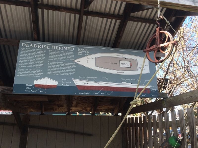
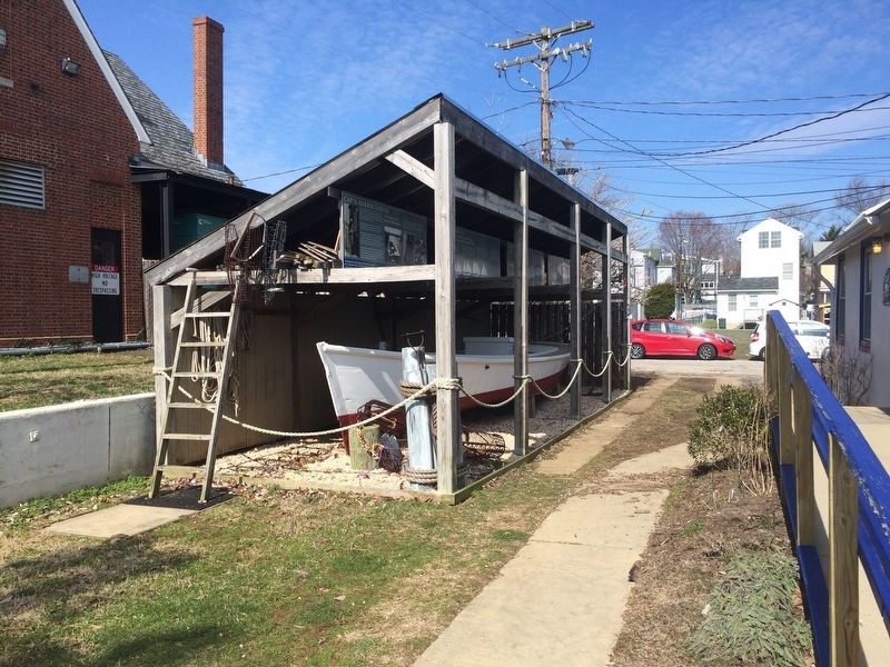
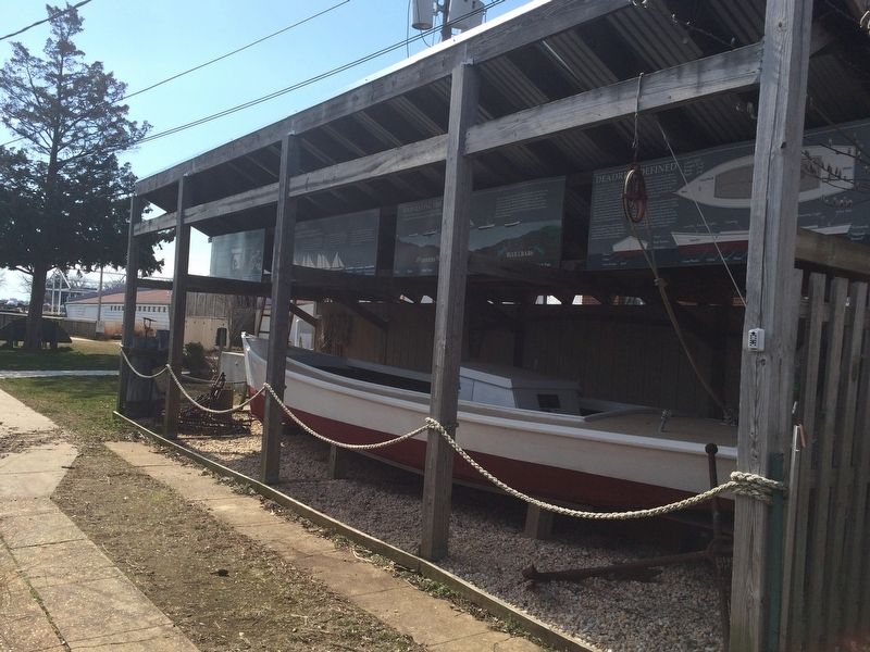
Little HES is a classic example of a Chesapeake Bay "deadrise", built for fishing and crabbing in the summer and oystering in the winter. The term "deadrise" refers to the underwater shape of a hull. Little HES has a sharp vee-entry at the bow, a shallow vee-section amidships and ends with an upward curve at the transom. This shape combined with a hard chine makes it more stable and comfortable than a flat bottomed boat which tends to "pound" through the waves.
Little HES also has a cross-planked, or "herringboned" bottom, fastened at the kneel and chine. Other "deadrise" workboats were planked lengthwise on both their sides and bottoms.
In the early 1900's, when small engines became available, working sailboats were converted to power to increase their range on the Bay. While a big boat may do well with a larger engine, a small deadrise would "squat" with the increased weight and not make good speed.
Boatwrights solved this problem by adding a "squatboard" under the transom. A large wooden platform (later of metal) was bolted along the waterline, along the prop and rudder. This provided additional lift to the hull and increased its speed. Soon new boats, designed with the flatter sections aft, were even faster. Chesapeake Bay workboats, both old and new, are often called "deadrise".
Little HES:
Length 31'-4"
Beam 7'-9"
Draft 2'-6"
Erected by Annapolis Maritime Museum.
Topics. This historical marker is listed in these topic lists: Industry & Commerce • Waterways & Vessels.
Location. 38° 58.161′ N, 76° 28.592′ W. Marker is in Annapolis, Maryland, in Anne Arundel County. It is in Eastport. Marker can be reached from Bay Shore Avenue east of 2nd Street, on the right. Touch for map. Marker is at or near this postal address: 129 Bay Shore Avenue, Annapolis MD 21403, United States of America. Touch for directions.
Other nearby markers. At least 8 other markers are within walking distance of this marker. Harvesting the Bay (here, next to this marker); Cap'n Herbie Sadler (a few steps from this marker); Bay Workboats (a few steps from this marker); Skipjack Lydia D (within shouting distance of this marker); Draketail Peg Wallace (within shouting distance of this marker); Welcome to Eastport (within shouting distance of this marker); From this spot, you can see 1774 - The "Annapolis Tea Party" (within shouting distance of this marker); From this spot, you can see 1672 - Providence: Settlement on the Severn (within shouting distance of this marker). Touch for a list and map of all markers in Annapolis.
Credits. This page was last revised on September 13, 2023. It was originally submitted on March 11, 2018, by Devry Becker Jones of Washington, District of Columbia. This page has been viewed 235 times since then and 15 times this year. Last updated on April 5, 2021, by Carl Gordon Moore Jr. of North East, Maryland. Photos: 1, 2, 3. submitted on March 11, 2018, by Devry Becker Jones of Washington, District of Columbia.


