Fredericksburg, Virginia — The American South (Mid-Atlantic)
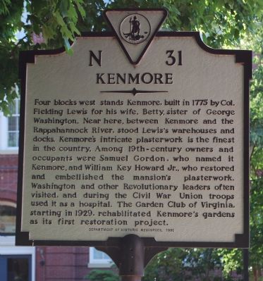
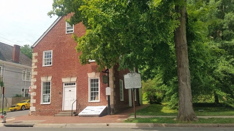
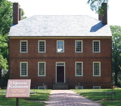
Kenmore
Erected 1992 by Department of Historic Resources. (Marker Number N-31.)
Topics and series. This historical marker is listed in these topic lists: Colonial Era • Notable Buildings • War, US Civil • War, US Revolutionary. In addition, it is included in the Former U.S. Presidents: #01 George Washington, the George Washington Slept Here, and the Virginia Department of Historic Resources (DHR) series lists. A significant historical year for this entry is 1775.
Location. 38° 18.351′ N, 77° 27.656′ W. Marker is in Fredericksburg, Virginia. Marker is on Caroline Street, 0.1 miles north of Lewis Street, on the left when traveling north. Touch for map. Marker is in this post office area: Fredericksburg VA 22401, United States of America. Touch for directions.
Other nearby markers. At least 10 other markers are within walking distance of this marker. The Lewis Store (a few steps from this marker); 1908 (a few steps from this marker); Fire on Caroline Street (within shouting distance of this marker); Reformed Baptist Church (within shouting distance of this marker); 1854 (about 300 feet away, measured in a direct line); Rising Sun Tavern (about 300 feet away); a different marker also named Rising Sun Tavern (about 400 feet away); c. 1740s (about 500 feet away); 1871 (about 500 feet away); 1856 (about 500 feet away). Touch for a list and map of all markers in Fredericksburg.
Regarding Kenmore. Kenmore is at 1201 Washington Ave.
Also see . . . Kenmore and Ferry Farm. (Submitted on June 12, 2007, by Dawn Bowen of Fredericksburg, Virginia.)
Credits. This page was last revised on February 2, 2023. It was originally submitted on June 12, 2007, by Dawn Bowen of Fredericksburg, Virginia. This page has been viewed 2,008 times since then and 32 times this year. Photos: 1. submitted on June 12, 2007, by Dawn Bowen of Fredericksburg, Virginia. 2. submitted on June 9, 2021, by Kevin W. of Stafford, Virginia. 3. submitted on June 12, 2007, by Dawn Bowen of Fredericksburg, Virginia. • J. J. Prats was the editor who published this page.


