Delphi in Carroll County, Indiana — The American Midwest (Great Lakes)
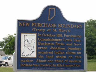
New Purchase Boundary
(Treaty of St. Mary’s)
Inscription.
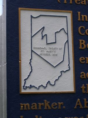
In October 1818, Purchasing Commissioners Lewis Cass, Benjamin Parke and Governor Johnathan Jennings acquired Indian claims on the land shown on this marker. About one-third of modern Indiana was involved in this transaction.
Erected 1966 by Indiana Sequicentennital Commission. (Marker Number 08.1966.1.)
Topics and series. This historical marker is listed in these topic lists: Native Americans • Settlements & Settlers. In addition, it is included in the Indiana Historical Bureau Markers series list. A significant historical month for this entry is October 1818.
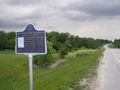
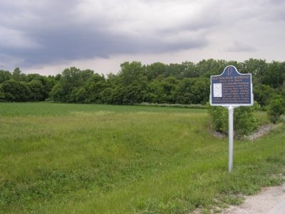
Location. 40° 35.458′ N, 86° 41.776′ W. Marker is in Delphi, Indiana, in Carroll County. Marker is on West Monroe Street (State Road 39) near West S Road, on the left when traveling west. Touch for map. Marker is in this post office area: Delphi IN 46923, United States of America. Touch for directions.
Other nearby markers. At least 5 other markers are within walking distance of this marker. Pittsburg (approx. 0.3 miles away); The Post Office At Sleeth (approx. 0.7 miles away); Sleeth Post Office was at McCoy's Station on the Monon R.R. (approx. 0.7 miles away); The Depot (approx. 0.7 miles away); The Guard Lock (approx. 0.7 miles away). Touch for a list and map of all markers in Delphi.
More about this marker. The Treaty of St. Mary’s was signed in St. Mary’s, Ohio, by the United States of America and the Wyandot Indians, the Seneca Indians, the Shawnee Indians and the Ottawa Indians.
Related markers. Click here for a list of markers that are related to this marker.
Credits. This page was last revised on August 5, 2021. It was originally submitted on June 13, 2007, by Christopher Light of Valparaiso, Indiana. This page has been viewed 2,261 times since then and 8 times this year. Photos: 1, 2, 3, 4. submitted on June 13, 2007, by Christopher Light of Valparaiso, Indiana. • J. J. Prats was the editor who published this page.


