Middle River in Baltimore County, Maryland — The American Northeast (Mid-Atlantic)
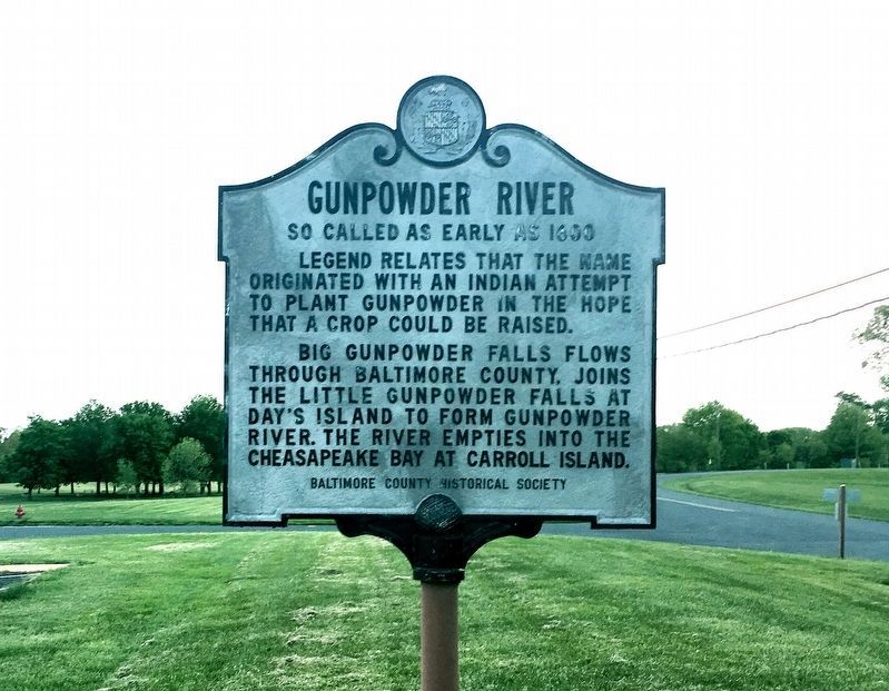
Gunpowder River
So Called as early as 1600
Inscription.
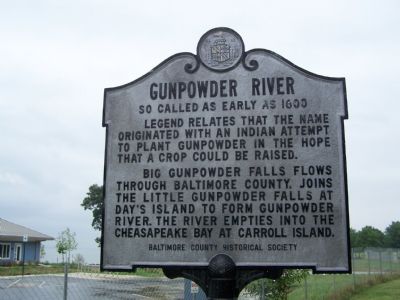
Legend relates that the name originated with an Indian attempt to plant gunpowder in the hope that a crop could be raised.
Big Gunpowder Falls flows through Baltimore County, joins the Little Gunpowder Falls at Day’s Island to form Gunpowder River. The River empties into the Chesapeake Bay at Carroll Island.
Erected 1968 by Baltimore County Historical Society.
Topics. This historical marker is listed in these topic lists: Colonial Era • Native Americans • Natural Features • Waterways & Vessels.
Location. 39° 21.863′ N, 76° 20.461′ W. Marker is in Middle River, Maryland, in Baltimore County. Marker can be reached from Grace's Quarter Road. Marker is in front of the bath house at Gunpowder Falls State Park. Touch for map. Marker is in this post office area: Middle River MD 21220, United States of America. Touch for directions.
Other nearby markers. At least 8 other markers are within 5 miles of this marker, measured as the crow flies. Explore Your Chesapeake (approx. 1.9 miles away); Reefs of the Chesapeake … Past … Present … Future (approx. 1.9 miles away); An All-American Bird (approx. 1.9 miles away); Gilmor's Raid (approx. 2.2 miles away); Rumsey Mansion (approx. 3 miles away); Joppa Town (approx. 3.1 miles away); The Glenn L. Martin Company (approx. 4.6 miles away); a different marker also named The Glenn L. Martin Company (approx. 4.6 miles away). Touch for a list and map of all markers in Middle River.

Photographed By Claire Carton, circa May 1, 2017
2. Gunpowder River Marker
I have to say this is the most explicitly racist marker I have encountered thus far in Maryland. There isn't a date for the marker but based on style and material I want to guess 1930s to 1950s. I intend to research both the marker and "legend" and will update if I find anything. Note: as an amateur local historian one thing I have found odd is the virtual absence of native tribes in the Baltimore city and county region in the colonial era. This is evidenced both by contemporary accounts and toponomy. It doubles my skepticism about the marker's veracity even as folklore.
Credits. This page was last revised on January 8, 2022. It was originally submitted on August 19, 2007, by Bill Pfingsten of Bel Air, Maryland. This page has been viewed 5,504 times since then and 169 times this year. Last updated on March 21, 2018, by Devry Becker Jones of Washington, District of Columbia. Photos: 1. submitted on August 19, 2007, by Bill Pfingsten of Bel Air, Maryland. 2. submitted on May 10, 2017, by Claire Carton of Baltimore, Maryland. 3. submitted on August 19, 2007, by Bill Pfingsten of Bel Air, Maryland.

