Colesville in Silver Spring in Montgomery County, Maryland — The American Northeast (Mid-Atlantic)
Valley Mill
Recording the Past
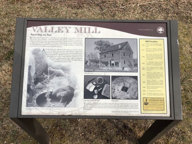
In 1936, John Brostup came to Colesville to take photographs for the Historic American Buildings Survey (HABS), a New Deal federal works project established to capture pre-1860s structures on film before they disappeared. Of the 154 properties Brostup documented in Maryland for HABS, fifty-eight were located in Montgomery County. Of that number, the mid-19th century two-and-a-half story structure with a raised foundation at Valley Mill represented the only mill Brostup recorded for posterity.
As vividly depicted in a black and white photo, the mill was already in a state of demise. Past its prime, the building no longer had a viable function — the plight of most grist mills in the early 20th century. American households, regardless of economic status and location, increasingly had access to finely bleached machine-processed white flour manufactured by large milling corporations such as Pillsbury and Gold Medal. The Valley Mill was eventually dismantled in 1941.
The goal of stewardship that began with HABS recording Valley Mill as an architectural relic continues today. The Maryland-National Capital Park and Planning Commission (M-NCPPC) utilizes archaeology to uncover artifacts that address what daily life was like at this once thriving local enterprise. Although the mill facility no longer stands, its foundation remains as a visible reminder that this business played a critical role in the surrounding community as a provider of necessary goods.
1720s:
Records reveal milling began at this location along the Paint Branch stream
1773:
Public sale ad identifies a physical structure here: "single geared grist mill with bolting cloth."
1793:
Peter Kemp constructs the brick miller's house and incorporates an automated system of elebators and conveyors into the mill, then known as "Kemp Mill"
1835:
Dr. Washington Duvall assumes ownership of the mill; focuses on production of cornmeal and lumber
1841-1842:
Duvall replaces the entire milling facility, building on the original foundation
1879:
Franklin A. Piling updates the internal milling technology with the introduction of the Poole and Hunt Leffel-type turbine, replacing the old water paddle wheel (see below)
1909:
Captain Winfield S. Overton advertises the property as the "Valley Mill Farm" where "leghorns, hatching eggs, dairy products" were available
1936:
Historic Americans Buildings Survey documents Valley Mill
1941:
The milling facility is dismantled
1972:
M-NCPPC
Erected by Montgomery Parks.
Topics. This historical marker is listed in these topic lists: Agriculture • Colonial Era • Industry & Commerce. A significant historical year for this entry is 1723.
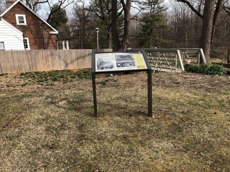
Location. 39° 3.965′ N, 76° 58.68′ W. Marker is in Silver Spring, Maryland, in Montgomery County. It is in Colesville. Marker can be reached from East Randolph Road west of Tourmaline Court, on the left when traveling east. On the grounds of Valley Mill Special Park. Touch for map. Marker is at or near this postal address: 1600 East Randolph Road, Silver Spring MD 20904, United States of America. Touch for directions.
Other nearby markers. At least 8 other markers are within 2 miles of this marker, measured as the crow flies. A different marker also named Valley Mill (a few steps from this marker); Edmonston's Mill (about 500 feet away, measured in a direct line); Snowden's Mill (approx. 0.4 miles away); Fawcett's Mill (approx. ¾ mile away); Smithville Colored School (approx. 1.1 miles away); Lee Family Cemetery (approx. 1.6 miles away); Khmer Rouge Genocide Memorial (approx. 1.7 miles away); Rachel Carson House (approx. 1.8 miles away). Touch for a list and map of all markers in Silver Spring.
Credits. This page was last revised on February 21, 2023. It was originally submitted on March 24, 2018, by Devry Becker Jones of Washington, District of Columbia. This page has been viewed 240 times since then and 10 times this year. Photos: 1, 2. submitted on March 24, 2018, by Devry Becker Jones of Washington, District of Columbia. • Andrew Ruppenstein was the editor who published this page.

