Ridgeland in Madison County, Mississippi — The American South (East South Central)
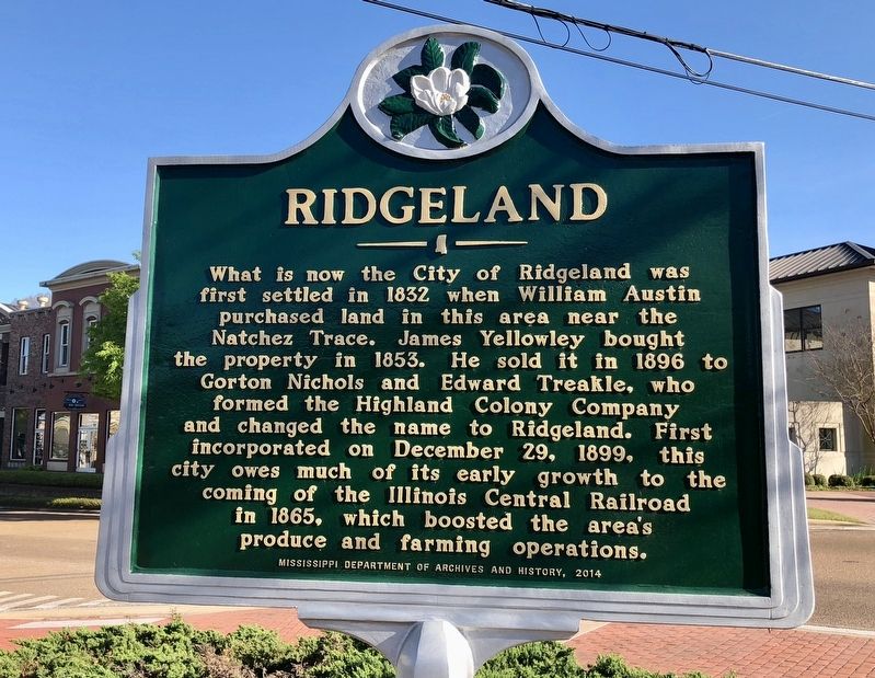
Ridgeland
Erected 2014 by the Mississippi Department of Archives and History.
Topics and series. This historical marker is listed in these topic lists: Railroads & Streetcars • Settlements & Settlers. In addition, it is included in the Mississippi State Historical Marker Program series list. A significant historical date for this entry is December 29, 1899.
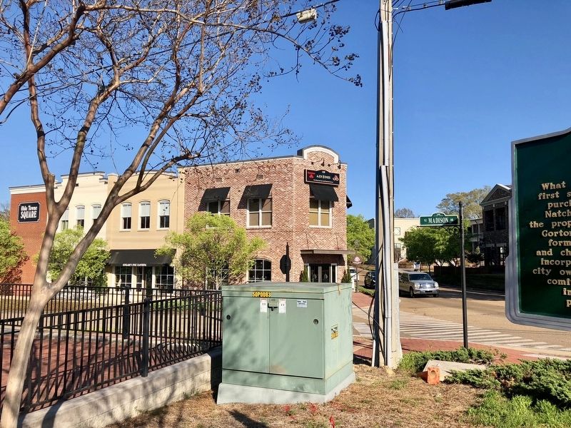
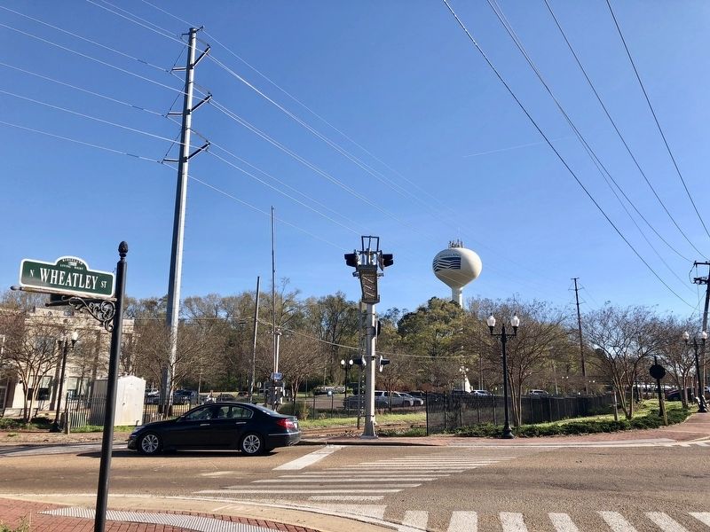
Location. 32° 25.726′ N, 90° 7.944′ W. Marker is in Ridgeland, Mississippi, in Madison County. Marker is at the intersection of West Jackson Street and NE Madison Drive, on the right when traveling west on West Jackson Street. Touch for map. Marker is at or near this postal address: 120 West Jackson Street, Ridgeland MS 39157, United States of America. Touch for directions.
Other nearby markers. At least 8 other markers are within 3 miles of this marker, measured as the crow flies. Old Agency Road (approx. one mile away); Choctaw Agency (approx. 1.2 miles away); World War II Airfield Hangars (approx. 1.8 miles away); Strawberry Patch House (approx. 2 miles away); Tougaloo College (approx. 2.3 miles away); Montgomery House (approx. 2˝ miles away); Old School Gymnasium (approx. 2˝ miles away); John Curran House (approx. 2˝ miles away). Touch for a list and map of all markers in Ridgeland.
Also see . . . The timeline of Ridgeland's History (pdf). (Submitted on March 24, 2018, by Mark Hilton of Montgomery, Alabama.)
Credits. This page was last revised on March 24, 2018. It was originally submitted on March 24, 2018, by Mark Hilton of Montgomery, Alabama. This page has been viewed 375 times since then and 50 times this year. Photos: 1, 2, 3. submitted on March 24, 2018, by Mark Hilton of Montgomery, Alabama.


