Vicksburg National Military Park in Warren County, Mississippi — The American South (East South Central)
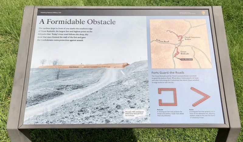
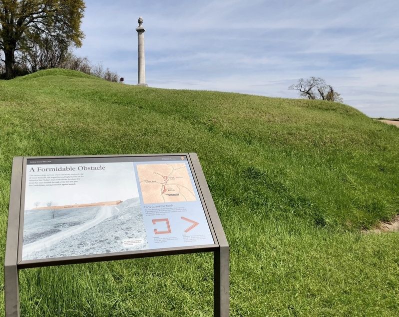
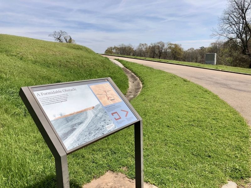
A Formidable Obstacle
Forts Guard the Roads
The Great Redoubt and the Third Louisiana Redan were built to guard the Jackson Road. When direct Union assaults on these and other forts along the Confederate line failed, Grant switched to siege tactics to take the city.
Redoubt
A rectangular fort that protects the troops and artillery inside from attack from any direction.
Redan
A triangular fort that projects out in front of the defensive line, allowing soldiers inside to fire into the flanks of attacking troops.
Erected by the National Park Service, Department of the Interior.
Topics. This historical marker is listed in these topic lists: Forts and Castles • War, US Civil.
Location. 32° 21.4′ N, 90° 50.892′ W. Marker is in Vicksburg National Military Park, Mississippi, in Warren County. Marker is on Confederate Avenue, 0.2 miles south of Pemberton Road, on the right when traveling south. Located at the Great Redoubt at Tour Stop #11. Touch for map. Marker is at or near this postal address: Confederate Avenue, Vicksburg MS 39183, United States of America. Touch for directions.
Other nearby markers. At least 8 other markers are within walking distance of this marker. Daniel W. Adams (a few steps from this marker); C S Headquarters Maury's-Forney's Division (a few steps from this marker); Mississippi 7th Battalion (within shouting distance of this marker); Brig. Gen. Lloyd Tilghman (within shouting distance of this marker); Lloyd Tilghman Memorial (within shouting distance of this marker); Louisiana (within shouting distance of this marker); Stevenson's Brigade; Assault, May 22, 1863. (about 600 feet away, measured in a direct line); US Capt. Robert Buchanan (about 600 feet away). Touch for a list and map of all markers in Vicksburg National Military Park.
Also see . . . National Park Service Tour Stop # 11. (Submitted on March 25, 2018, by Mark Hilton of Montgomery, Alabama.)
Credits. This page was last revised on March 25, 2018. It was originally submitted on March 25, 2018, by Mark Hilton of Montgomery, Alabama. This page has been viewed 259 times since then and 23 times this year. Photos: 1, 2, 3. submitted on March 25, 2018, by Mark Hilton of Montgomery, Alabama.


