Vicksburg in Warren County, Mississippi — The American South (East South Central)
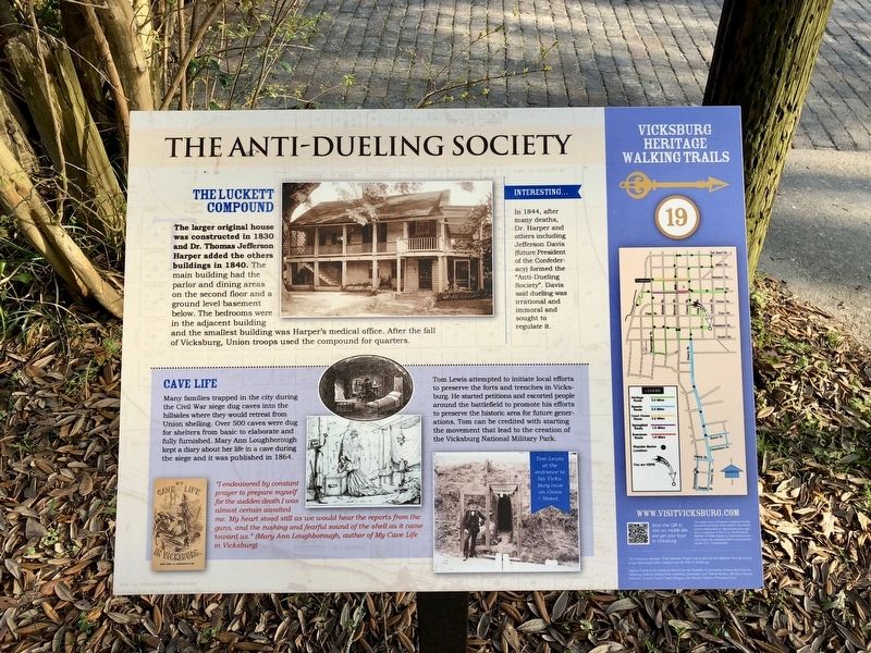
The Anti-Dueling Society
— Vicksburg Heritage Walking Trail —
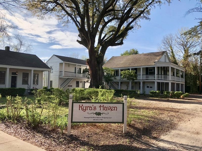
The Luckett Compound
The larger original house was constructed in 1830 and Dr. Thomas Jefferson Harper added the others buildings in 1840. The main building had the parlor and dining areas on the second floor and a ground level basement below, The bedrooms were in the adjacent building and the smallest building was Harper's medical office. After the fall of Vicksburg, Union troops used the compound for quarters.
Interesting. . .
In 1844, after many deaths, Dr. Harper and others including Jefferson Davis (future President of the Confederacy) formed the "Anti-Dueling Society". Davis said dueling was irrational and immoral and sought to regulate it.
Cave Life
Many families trapped in the city during the Civil War siege dug caves into the hillsides where they would retreat from Union shelling. Over 500 caves were dug for shelters from basic to elaborate and fully furnished. Mary Ann Loughborough kept a diary about her life in a cave during the siege and it was published in 1864.
Tom Lewis attempted to initiate local efforts to preserve the forts and trenches in Vicksburg. He started petitions and escorted people around the battlefield to promote his efforts to preserve the historic area for future generations. Tom can be credited with starting the movement that lead to the creation of the Vicksburg National Military Park.
"I endeavored by constant prayer to prepare myself for the sudden death I was almost certain awaited me. My heart stood still as we would hear the reports from the guns, and the rushing and fearful sound of the shell as it came toward us." (Mary Ann Loughborough, author of My Cave Life in Vicksburg)
Erected 2017 by the City of Vicksburg. (Marker Number 19.)
Topics and series. This historical marker is listed in these topic lists: Notable Events • War, US Civil. In addition, it is included in the Mississippi, Vicksburg Heritage Walking Trail series list. A significant historical year for this entry is 1830.
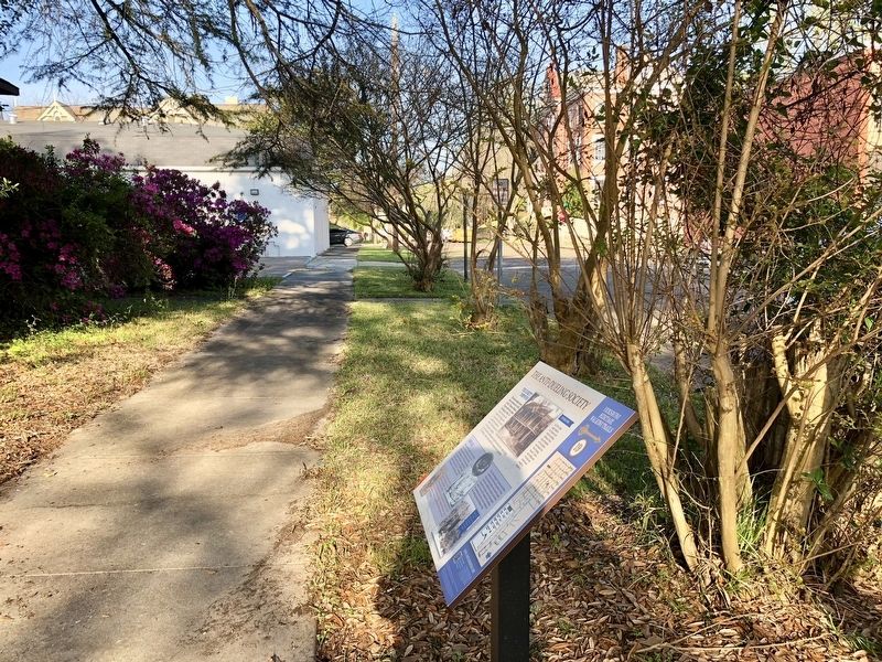
Location. 32° 20.905′ N, 90° 52.62′ W. Marker is in Vicksburg, Mississippi, in Warren County. Marker is on Crawford Street east of Adams Street, on the right when traveling east. Crawford Street terminates just past this marker. Touch for map. Marker is at or near this postal address: 1116 Crawford Street, Vicksburg MS 39180, United States of America. Touch for directions.
Other nearby markers. At least 8 other markers are within walking distance of this marker. Pemberton Headquarters (about 300 feet away, measured in a direct line); Belle Fleur (about 300 feet away); Sisters of Mercy (about 300 feet away); Debate and Decision (about 300 feet away); John D. Cobb House (about 400 feet away); Balfour House (about 500 feet away); Cherry Street (about 600 feet away); The Daily Citizen (about 600 feet away). Touch for a list and map of all markers in Vicksburg.
Also see . . .
1. Mississippi Department of Archives & History Fact Sheet on the Luckett Compound. (Submitted on March 25, 2018, by Mark Hilton of Montgomery, Alabama.)
2. Civilians in the Siege of Vicksburg: Living in Caves, Eating Rats. (Submitted on March 25, 2018, by Mark Hilton of Montgomery, Alabama.)
Credits. This page was last revised on March 31, 2018. It was originally submitted on March 25, 2018, by Mark Hilton of Montgomery, Alabama. This page has been viewed 553 times since then and 43 times this year. Photos: 1, 2, 3. submitted on March 25, 2018, by Mark Hilton of Montgomery, Alabama.


