Newburyport in Essex County, Massachusetts — The American Northeast (New England)
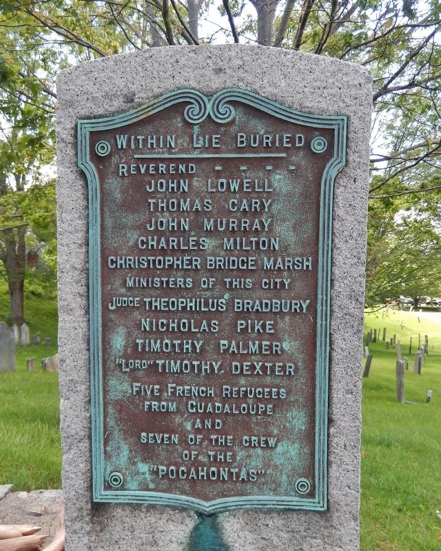
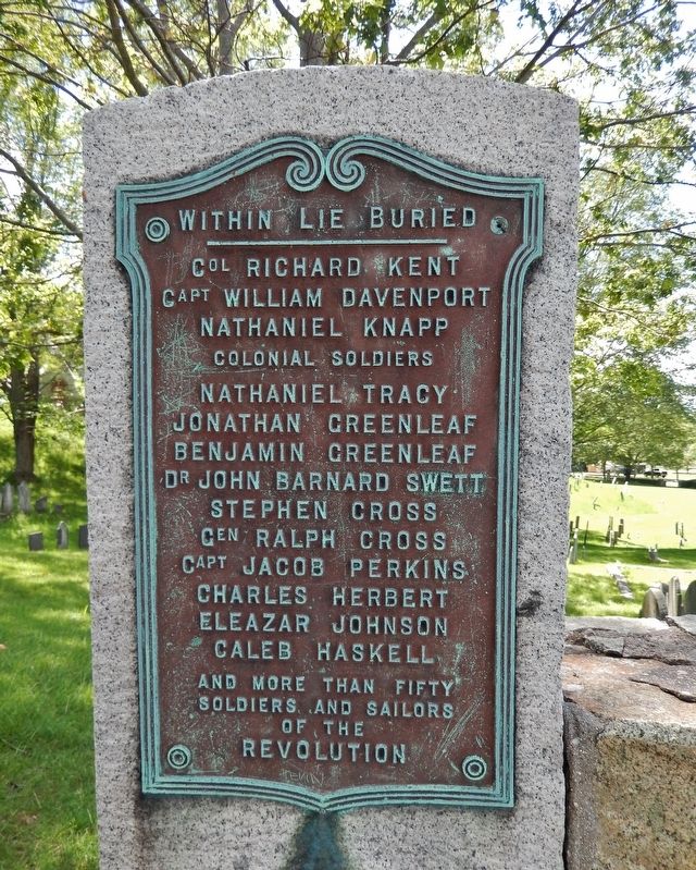
Within Lie Buried
(left tablet)
John Lowell
Thomas Cary
John Murray
Charles Milton
Christopher Bridge Marsh
Ministers of this City
Judge Theophilus Bradbury
Nicholas Pike
Timothy Palmer
”Lord” Timothy Dexter
Five French refugees
from Guadaloupe
and
seven of the crew
of the
”Pocahontas”
(right tablet)
Capt. William Davenport
Nathaniel Knapp
Colonial Soldiers
Nathaniel Tracy
Jonathan Greenleaf
Benjamin Greenleaf
Dr. John Barnard Swett
Stephen Cross
Capt. Jacob Perkins
Charles Herbert
Eleazar Johnson
Caleb Haskell
and more than fifty
Soldiers and Sailors
of the
Revolution
Topics. This memorial is listed in these topic lists: Colonial Era • War, US Revolutionary.
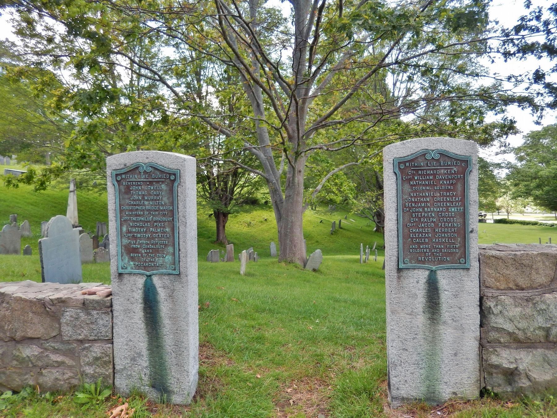
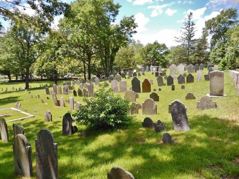
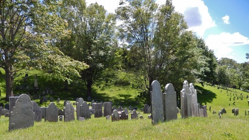
Location. 42° 48.465′ N, 70° 52.541′ W. Marker is in Newburyport, Massachusetts, in Essex County. Memorial is on Greenleaf Street north of Pond Street, on the left when traveling north. Marker(s) are metal tablets mounted on the left and right Greenleaf Street entrance portals into the Old Hill Burying Grounds, now known as Old Hill Cemetery. Touch for map. Marker is at or near this postal address: 31 Greenleaf Street, Newburyport MA 01950, United States of America. Touch for directions.
Other nearby markers. At least 8 other markers are within walking distance of this marker. The Bartlet Mall (about 500 feet away, measured in a direct line); Bombshell (about 500 feet away); Dalton House (approx. ¼ mile away); Historic 1893 Newburyport Train Station (approx. ¼ mile away); William Lloyd Garrison (approx. ¼ mile away); The Memory of the Officers and Men (approx. 0.3 miles away); The 1873 Train Wreck (approx. 0.4 miles away); Market Square Tea Burning (approx. 0.4 miles away). Touch for a list and map of all markers in Newburyport.
Also see . . .
1. Old Hill Burying Ground and the Tunnels.
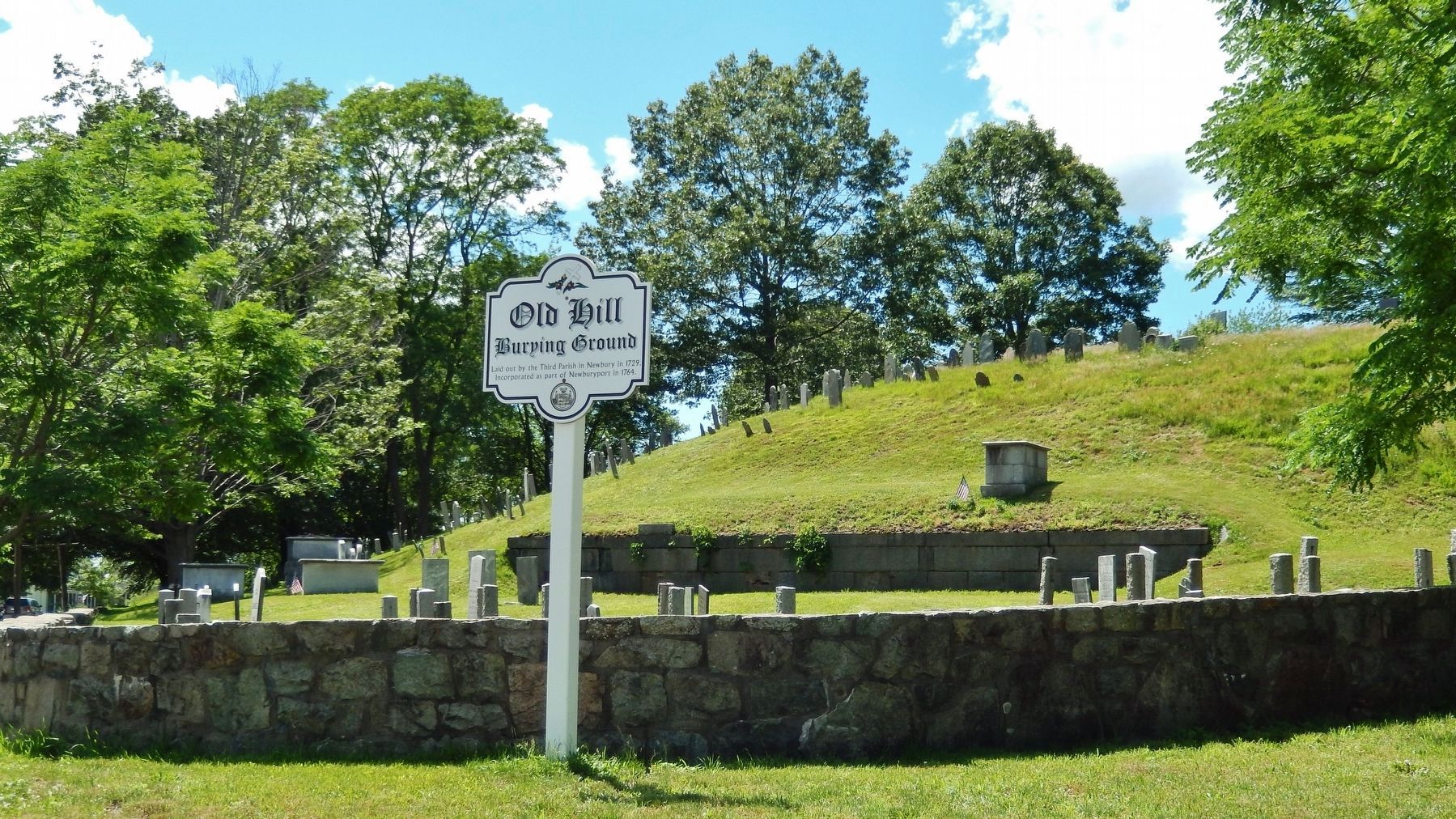
It all begins with the Old Hill Burying Ground established in 1729, behind Frog Pond and the Newburyport Superior Courthouse. According to local legend, there is supposed to be "an intricate tunnel system" under the Old Hill Burying Ground that extends down past High Street into the center of town and the old wharf area. If newspaper accounts are to be believed, some old brick tunnels do exist under the town. They are generally referred to as "slave tunnels" from the Underground Railroad era. But other researches believe they are pre-Revolutionary War smuggling tunnels. (Submitted on March 29, 2018, by Cosmos Mariner of Cape Canaveral, Florida.)
2. 18th century Newburyport headstone found in Pepperell.
For more than 245 years, Lydia Smith’s remains have rested in Old Hill Burying Ground. But for possibly decades, people visiting the cemetery near Bartlet Mall had no idea because part of her headstone was leaning against a tree in the backyard of a Pepperell home. Now, thanks to the couple who found the headstone and made the 50-mile drive, it’s back in Newburyport and being restored by city Department of Public Services general foreman Alan Frost. On Nov. 30, the 272th anniversary of Smith’s death, the headstone will be erected above her grave. According to the headstone, which weighs an estimated 200 pounds, Smith, wife of Samuel Smith, died Nov. 30, 1745, at age 42. (Submitted on March 29, 2018, by Cosmos Mariner of Cape Canaveral, Florida.)
Credits. This page was last revised on April 2, 2018. It was originally submitted on March 29, 2018, by Cosmos Mariner of Cape Canaveral, Florida. This page has been viewed 377 times since then and 20 times this year. Photos: 1, 2, 3, 4, 5, 6. submitted on March 29, 2018, by Cosmos Mariner of Cape Canaveral, Florida. • Andrew Ruppenstein was the editor who published this page.
