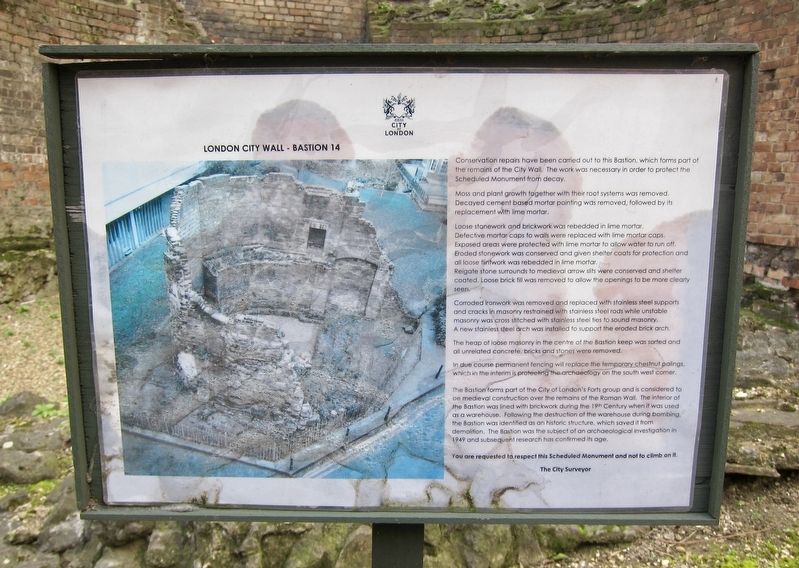
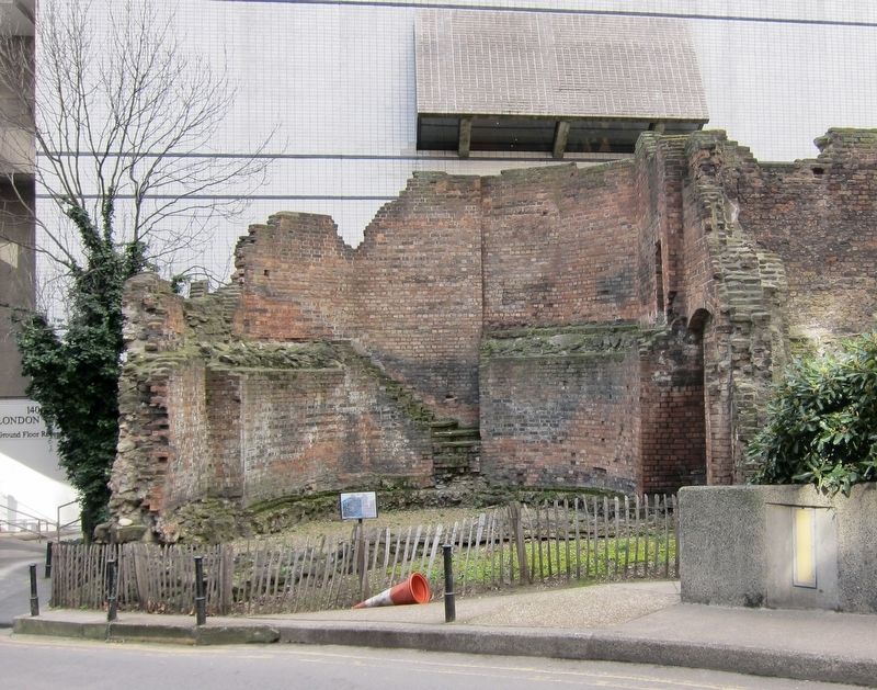
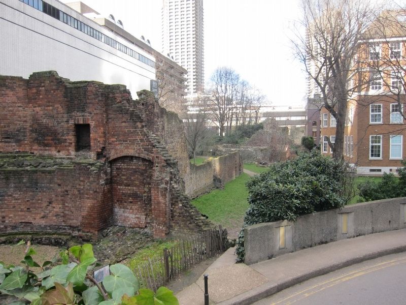
London City Wall - Bastion 14
Moss and plant growth together with their root systems was removed. Decayed cement based mortar pointing was removed, followed by its replacement with lime mortar.
Loose stonework and brickwork was rebedded in lime mortar. Defective mortar caps to walls were replaced with lime mortar caps. Exposed areas were protected with lime mortar to allow water to run off. Eroded stonework was conserved and given shelter coats for protection and all loose flintwork was rebedded in lime mortar.
Reigate stone surrounds to medieval arrow slits were conserved and shelter coated. Loose brick fill was removed to allow the openings to be more clearly seen.
Corroded ironwork was removed and replaced with stainless steel supports and cracks in masonry restrained with stainless steel rods while unstable masonry was cross stitched with stainless steel ties to sound masonry. A new stainless steel arch was installed to support the eroded brick arch.
The heap of loose masonry in the centre of the Bastion keep was sorted and all unrelated concrete, bricks and stones were removed.
In due course permanent fencing will replace the temporary chestnut
palings, which in the interim is protecting the archaeology on the south west corner.The Bastion forms part of the City of London's Forts group and is considered to be medieval construction over the remains of the Roman Wall. The interior of The Bastion was lined with brickwork during the 19th Century when it was used as a warehouse. Following the destruction of the warehouse during bombing, the Bastion was identified as an historic structure, which saved it from demolition. The Bastion was the subject of an archaeological investigation in 1949 and subsequent research has confirmed its age.
You are requested to respect this Scheduled Monument and not to climb on it.
Erected by City of London Corporation.
Topics. This historical marker is listed in these topic lists: Anthropology & Archaeology • Forts and Castles. A significant historical year for this entry is 1949.
Location. 51° 31.066′ N, 0° 5.705′ W. Marker is in City of London, England, in Greater London. Marker can be reached from London Wall just west of Wood Street. Touch for map. Marker is at or near this postal address: 140 London Wall, City of London, England EC2V 5DY, United Kingdom. Touch for directions.
Other nearby markers. At least 8 other markers are within walking distance of this marker. The London Wall Walk – 18 (a few steps from this marker); London City Wall - Bastion 13 (within
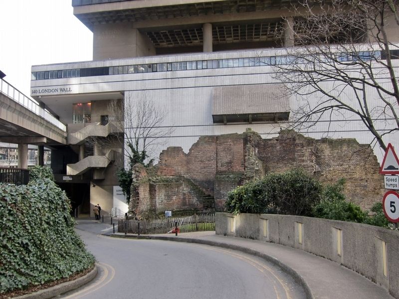
More about this marker. The London Wall Bastion and marker are visible to pedestrians from, yes, the street named "London Wall", address 140. There is a vehicle offramp leading down from the street level to an underground car park, and one may take the sidewalk alongside the ramp to view the bastion and wall.
Also see . . .
1. London Wall (Wikipedia). "The London Wall was the defensive wall first built by the Romans around Londinium, their strategically important port town on the River Thames in what is now London, England, and subsequently maintained until the 18th century....It is now the name
2. A standing building survey of Bastion 14, City of London (Museum of London Archaeology). "The medieval masonry structure lies on top of Roman foundations, whilst bricks were added, some relating to late-medieval repairs. However most of the brickwork relates to later buildings as the City Wall fell out of use and the bastion became increasingly hidden as a consequence of the development of the area around it. By the 19th century, the structure was entirely incorporated into the surrounding buildings as the City Surveyors plan from 1841 shows." (Submitted on April 6, 2018.)
Credits. This page was last revised on January 27, 2022. It was originally submitted on April 6, 2018, by Andrew Ruppenstein of Lamorinda, California. This page has been viewed 346 times since then and 31 times this year. Photos: 1, 2, 3, 4. submitted on April 6, 2018, by Andrew Ruppenstein of Lamorinda, California.


