Liberty Township near Fairfield in Adams County, Pennsylvania — The American Northeast (Mid-Atlantic)
The Fountaindale Lutheran Church and Cemetery
Inscription.
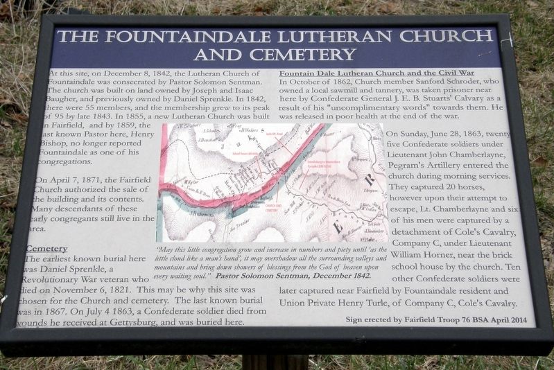
At this site, on December 8, 1842, the Lutheran Church of Fountaindale was consecrated by pastor Solomon Sentman. The church was built on land owned by Joseph and Isaac Baugher, and previously owned by Daniel Sprenkle. In 1842, there were 55 members, and the membership grew to its peak of 95 by late 1843. In 1855, a new Lutheran Church was built at Fairfield, and by 1859, the last known Pastor here, Henry Bishop, no longer reported Fountaindale as one of his congregations.
On April 7, 1871, the Fairfield Church authorized the sale of the building and its contents. Many descendants of these early congregations still live in the area.
Cemetery
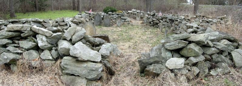
The earliest known burial here was Daniel Sprenkle, a Revolutionary War veteran who died on November 6, 1821. The may be the reason why this site was chosen for the Church and cemetery. On July 3, 1863, a Confederate soldier died from wounds he received at Gettysburg and was buried here.
Fountaindale Lutheran Church and the Civil War
In October of 1862, Church member Sandford Schroder, who owned a local sawmill and tannery, was taken prisoner near here by Confederate General J.E.B. Stuart’s cavalry as a result of his “uncomplimentary words” towards them. He was released in poor health at the end of the war.
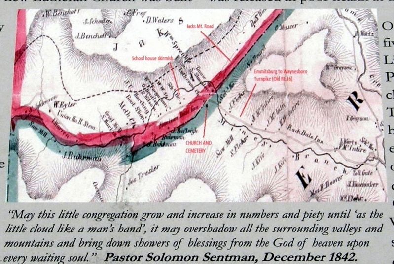
On Sunday, June 28, 1863, twenty five Confederate soldiers under Lieutenant John Chamberlayne, Pegram’s Artillery entered the church during morning services. They captured 20 horses, however upon their attempt to escape, Lt. Chamberlayne and six of his men were captured by a detachment of Cole’s Cavalry, Company C, under Lieutenant William Horner, near the brick schoolhouse by the church. Ten other Confederate soldiers were later captured near Fairfield by Fountaindale resident and Union Private Henry Turle, of Company C, Cole’s cavalry.
Sign erected by Fairfield Troop 76 BSA April 2014
Erected 2014 by Fairfield Troop 76 BSA.
Topics. This historical marker is listed in these topic lists: Cemeteries & Burial Sites • Churches & Religion • War, US Civil. A significant historical date for this entry is December 8, 1842.
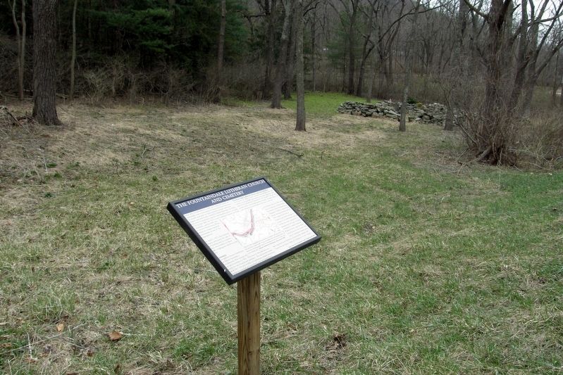
Location. 39° 44.62′ N, 77° 24.801′ W. Marker is near Fairfield, Pennsylvania, in Adams County. It is in Liberty Township. Marker is at the intersection of Jacks Mountain Road and Old Waynesboro Road, on the right when traveling north on Jacks Mountain Road. Touch for map. Marker is in this post office area: Fairfield PA 17320, United States of America. Touch for directions.
Other nearby markers. At least 8 other markers are within 3 miles of this marker, measured as the crow flies. The Battle Of Monterey Pass (approx. 2.2 miles away); The Battle of Monterey Pass (approx. 2.2 miles away); The Battle of Fountain Dale (approx. 2.2 miles away); Before The Battle Of Gettysburg (approx. 2.2 miles away); Jacks Mountain Road Covered Bridge (approx. 2.2 miles away); John Hanson "Hance" Steelman (approx. 2.9 miles away); a different marker also named The Battle of Monterey Pass (approx. 3 miles away); a different marker also named The Battle of Monterey Pass (approx. 3 miles away). Touch for a list and map of all markers in Fairfield.
Credits. This page was last revised on February 7, 2023. It was originally submitted on April 10, 2018, by Larry Gertner of New York, New York. This page has been viewed 594 times since then and 48 times this year. Last updated on May 22, 2019, by Larry Gertner of New York, New York. Photos: 1, 2, 3, 4. submitted on April 10, 2018, by Larry Gertner of New York, New York. • Andrew Ruppenstein was the editor who published this page.


