San Angelo in Tom Green County, Texas — The American South (West South Central)
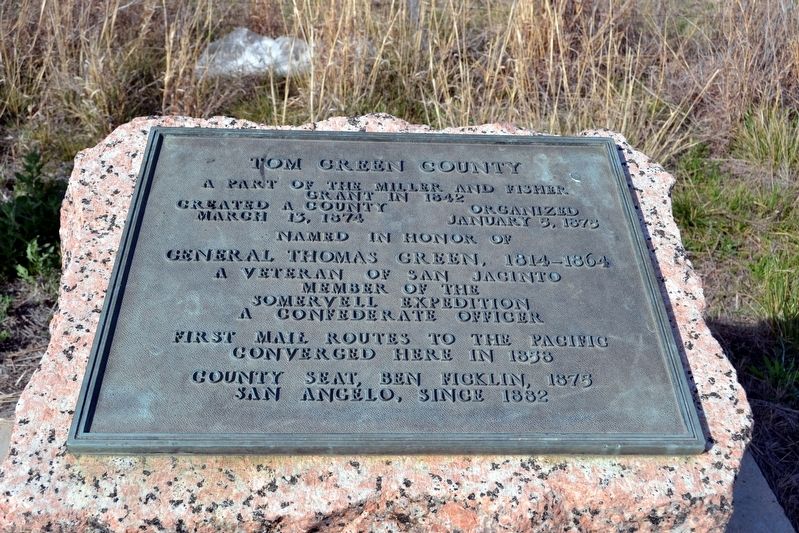
Tom Green County
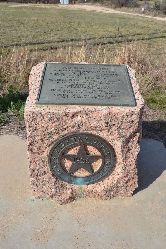
Created a County March 13, 1874
Organized January 5, 1875
Named in honor of
General Thomas Green, 1814–1864
A veteran of San Jacinto
Member of the
Somervell Expedition
A Confederate Officer
First mail routes to the Pacific converged here in 1858
County seat, Ben Ficklin, 1875
San Angelo, since 1882
Erected 1936 by Texas Highway Department. (Marker Number 14847.)
Topics and series. This historical marker is listed in this topic list: Political Subdivisions. In addition, it is included in the Texas 1936 Centennial Markers and Monuments series list.
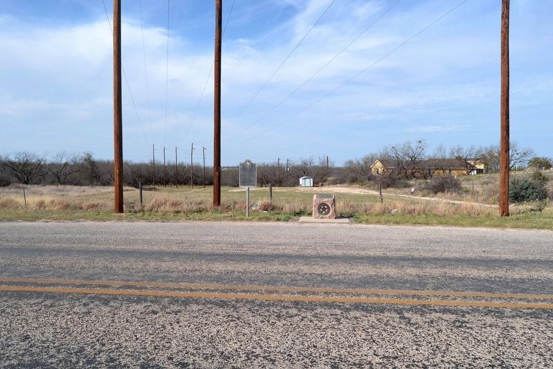
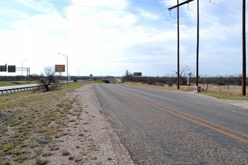
Location. 31° 24.308′ N, 100° 26.364′ W. Marker is in San Angelo, Texas, in Tom Green County. Marker is on S. Bryant Boulevard Frontage, 0.1 miles east of Ben Ficklin Road, on the right when traveling west. Touch for map. Marker is in this post office area: San Angelo TX 76904, United States of America. Touch for directions.
Other nearby markers. At least 8 other markers are within 3 miles of this marker, measured as the crow flies. Major Ben Ficklin, C.S.A. (a few steps from this marker); Ben Ficklin Cemetery (within shouting distance of this marker); Site of Ben Ficklin (approx. 0.2 miles away); Kiwanis Little Olympics (approx. 2.2 miles away); Chaplain, Major General Robert Preston Taylor (approx. 2.2 miles away); TB-25N Mitchell (approx. 2.2 miles away); Charles B. Metcalfe (approx. 2.3 miles away); BT-13A Valiant (approx. 2.4 miles away). Touch for a list and map of all markers in San Angelo.
Also see . . . Tom Green County. From the Texas State Historical Association’s “Handbook of Texas Online”. (Submitted on April 10, 2018.)
Credits. This page was last revised on February 14, 2024. It was originally submitted on April 10, 2018, by Duane Hall of Abilene, Texas. This page has been viewed 236 times since then and 23 times this year. Last updated on February 12, 2024, by Jeff Leichsenring of Garland, Texas. Photos: 1, 2, 3, 4. submitted on April 10, 2018, by Duane Hall of Abilene, Texas. • James Hulse was the editor who published this page.


