Crawfordsville in Crittenden County, Arkansas — The American South (West South Central)
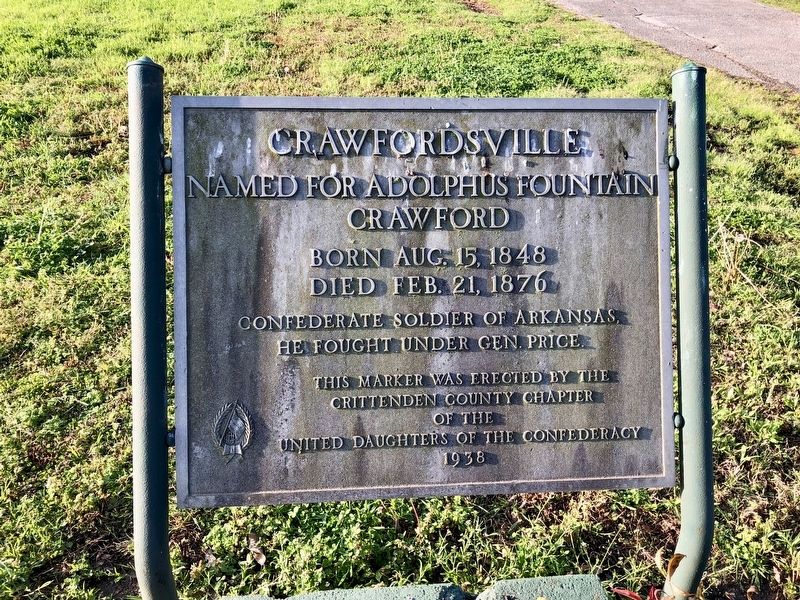
Crawfordsville
Crawford
Born Aug. 15, 1848
Died Feb. 21, 1876
Confederate soldier of Arkansas,
he fought under Gen. Price.
Erected 1938 by the Crittenden County Chapter of the United Daughters of the Confederacy.
Topics and series. This historical marker is listed in these topic lists: Settlements & Settlers • War, US Civil. In addition, it is included in the United Daughters of the Confederacy series list. A significant historical date for this entry is February 21, 1876.
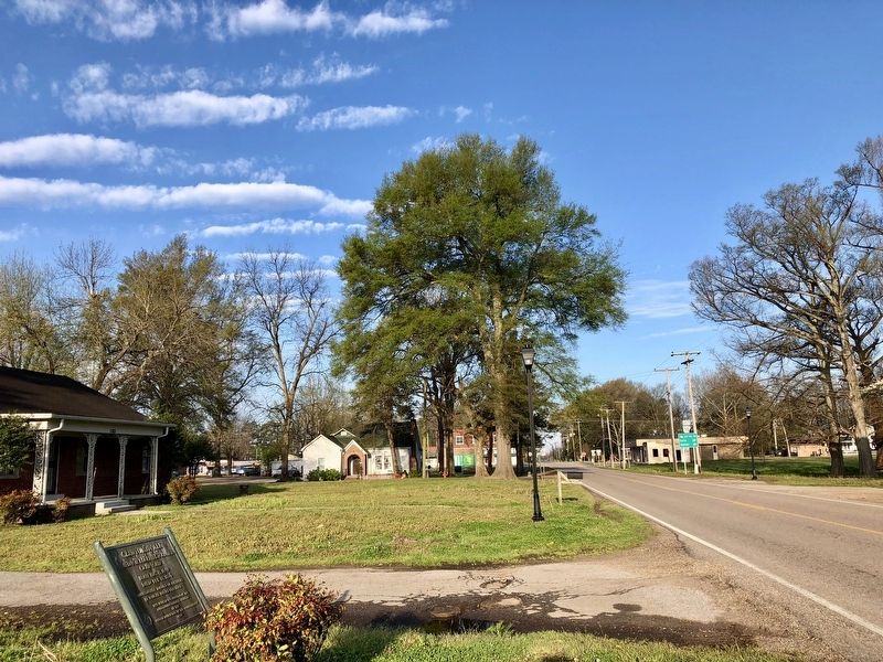
Location. 35° 13.651′ N, 90° 19.457′ W. Marker is in Crawfordsville, Arkansas, in Crittenden County. Marker is on Old Highway 64 (Business Highway 64) 0.1 miles east of Main Street (State Route 50), on the right when traveling east. Touch for map. Marker is at or near this postal address: 1383 Old Highway 64, Crawfordsville AR 72327, United States of America. Touch for directions.
Other nearby markers. At least 8 other markers are within 8 miles of this marker, measured as the crow flies. Marion School District (approx. 7.1 miles away); Marion High School (approx. 7.1 miles away); Marion School Auditorium-Gynamnasium (approx. 7.1 miles away); Margaret E. Woolfolk Library (approx. 7.1 miles away); Military Road (approx. 7.2 miles away); The Loss of the Sultana (approx. 7.2 miles away); The Sultana Tragedy (approx. 7.2 miles away); Crittenden County Veterans Memorial (approx. 7.2 miles away).
Credits. This page was last revised on September 3, 2020. It was originally submitted on April 12, 2018, by Mark Hilton of Montgomery, Alabama. This page has been viewed 306 times since then and 28 times this year. Photos: 1, 2. submitted on April 12, 2018, by Mark Hilton of Montgomery, Alabama.

