Near Brady in McCulloch County, Texas — The American South (West South Central)
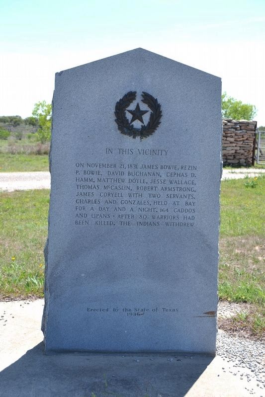
In This Vicinity
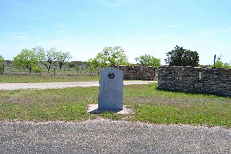
On November 21, 1831, James Bowie, Rezin P. Bowie, David Buchanan, Cephas D. Hamm, Matthew Doyle, Jesse Wallace, Thomas McCaslin, Robert Armstrong, James Coryell with two servants, Charles and Gonzales, held at bay for a day and night, 164 Caddos and Lipans. After 80 warriors had been killed, the Indians withdrew.
Erected 1936 by State of Texas. (Marker Number 4815.)
Topics and series. This historical marker is listed in these topic lists: Native Americans • Wars, US Indian. In addition, it is included in the Texas 1936 Centennial Markers and Monuments series list. A significant historical date for this entry is November 21, 1831.
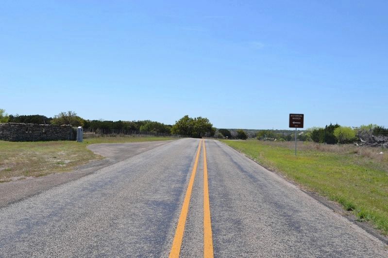
Location. 30° 57.869′ N, 99° 28.522′ W. Marker is near Brady, Texas, in McCulloch County. Marker is on Farm to Market Road 1311, 0.4 miles south of County Road 104, on the right when traveling south. Touch for map. Marker is in this post office area: Brady TX 76825, United States of America. Touch for directions.
Other nearby markers. At least 8 other markers are within 17 miles of this marker, measured as the crow flies. Pegleg Crossing on the San Saba (approx. 9.8 miles away); Peter's Prairie School (approx. 12.4 miles away); McCulloch County Jail (approx. 14.4 miles away); McCulloch County (approx. 14.4 miles away); McCulloch County Courthouse (approx. 14.4 miles away); General Ben McCulloch, C.S.A. (approx. 14.4 miles away); Union Passenger Depot (approx. 14.7 miles away); John Bate Berry (approx. 16˝ miles away). Touch for a list and map of all markers in Brady.
Regarding In This Vicinity. This is also known as the Battle of Calf Creek.
Also see . . . The Billion Dollar Lost Silver Mine of the Hill Country. Texas Hill Country News website entry (Submitted on October 6, 2022, by Larry Gertner of New York, New York.)
Credits. This page was last revised on October 6, 2022. It was originally submitted on April 13, 2018, by Duane Hall of Abilene, Texas. This page has been viewed 685 times since then and 47 times this year. Photos: 1, 2, 3. submitted on April 13, 2018, by Duane Hall of Abilene, Texas.


