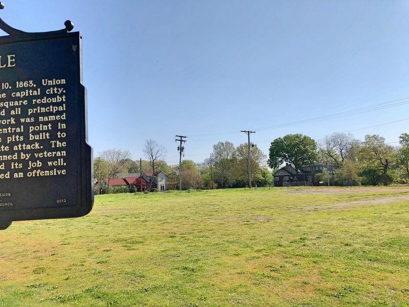
Downtown in Little Rock in Pulaski County, Arkansas — The American South (West South Central)
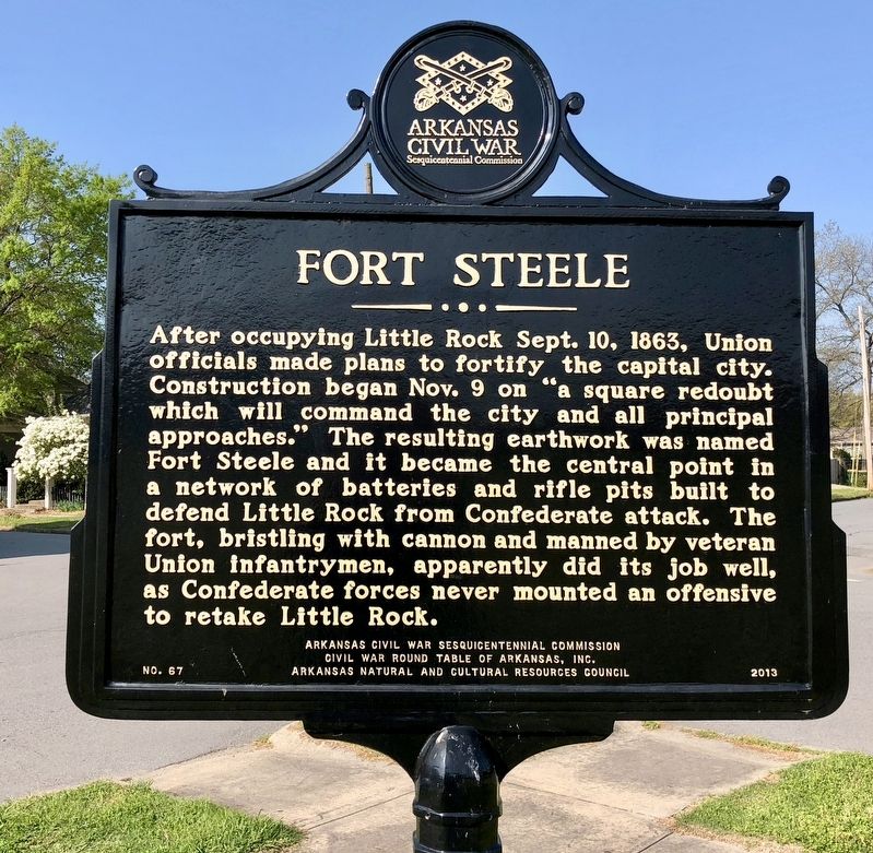
Fort Steele
Erected 2013 by Arkansas Civil War Sesquicentennial Commission, Civil War Round Table of Arkansas, Inc., Arkansas Natural and Cultural Resources Council. (Marker Number 67.)
Topics and series. This historical marker is listed in these topic lists: Forts and Castles • War, US Civil. In addition, it is included in the Arkansas Civil War Sesquicentennial Commission series list. A significant historical date for this entry is September 10, 1863.
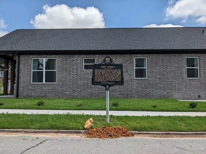
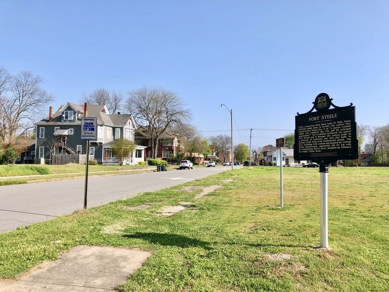
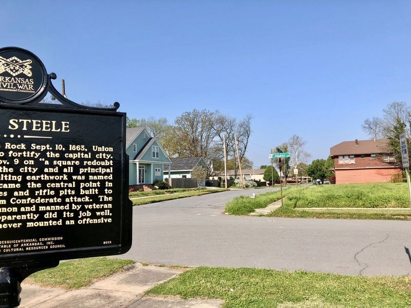
Location. 34° 44.063′ N, 92° 16.808′ W. Marker is in Little Rock, Arkansas, in Pulaski County. It is in Downtown. Marker is on West 16th Street just east of South Gaines Street, on the right when traveling west. Touch for map. Marker is at or near this postal address: 1521 S Gaines St, Little Rock AR 72202, United States of America. Touch for directions.
Other nearby markers. At least 8 other markers are within walking distance of this marker. George W. Dickinson House (about 500 feet away, measured in a direct line); R. Neel-G.A.A. Deane House (about 600 feet away); Hemingway House (about 600 feet away); Cornish House (approx. 0.2 miles away); The Allison-Crawford House (approx. 0.2 miles away); Peay Cottage (approx. 0.2 miles away); The Dilts House (approx. 0.2 miles away); Arkansas in the Battle of New Market (approx. 0.2 miles away). Touch for a list and map of all markers in Little Rock.
Credits. This page was last revised on July 11, 2023. It was originally submitted on April 13, 2018, by Mark Hilton of Montgomery, Alabama. This page has been viewed 644 times since then and 43 times this year. Last updated on July 11, 2023, by Ashley Sides of Little Rock, Arkansas. Photos: 1. submitted on April 13, 2018, by Mark Hilton of Montgomery, Alabama. 2. submitted on July 11, 2023, by Ashley Sides of Little Rock, Arkansas. 3, 4, 5. submitted on April 13, 2018, by Mark Hilton of Montgomery, Alabama. • J. Makali Bruton was the editor who published this page.
