North Little Rock in Pulaski County, Arkansas — The American South (West South Central)
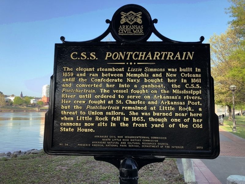
C.S.S. Pontchartrain
Erected 2012 by Arkansas Civil War Sesquicentennial Commission, North Little Rock History Commission, Arkansas Natural and Cultural Resources Council, Preserve America, National Park Service, Department of the Interior. (Marker Number 34.)
Topics and series. This historical marker is listed in these topic lists: War, US Civil • Waterways & Vessels. In addition, it is included in the Arkansas Civil War Sesquicentennial Commission series list. A significant historical year for this entry is 1859.
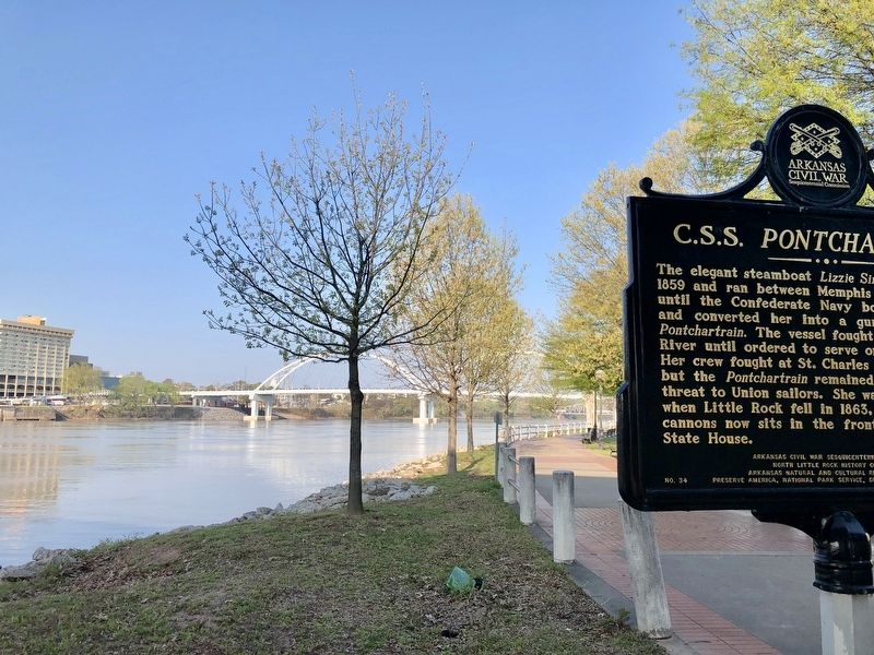
Location. 34° 45.164′ N, 92° 16.124′ W. Marker is in North Little Rock, Arkansas, in Pulaski County. Marker can be reached from Riverfront Drive east of Riverfront Place when traveling south . Located along the Arkansas River Trail nearly under the west side of the Main Street Bridge. Touch for map. Marker is at or near this postal address: 120 Riverfront Drive, North Little Rock AR 72114, United States of America. Touch for directions.
Other nearby markers. At least 8 other markers are within walking distance of this marker. Huntersville (within shouting distance of this marker); USS Snook (SS-279) (about 700 feet away, measured in a direct line); The Little Rock Campaign (approx. ¼ mile away); River Traffic (approx. ¼ mile away); The Little Rock Campaign - Riverfront Park (approx. ¼ mile away); The Point of Rocks (approx. ¼ mile away); Arkansas in the Civil War (approx. ¼ mile away); It is River City (approx. ¼ mile away). Touch for a list and map of all markers in North Little Rock.
Also see . . . The Encyclopedia of Arkansas History & Culture on the C.S.S. Pontchartrain. (Submitted on April 13, 2018, by Mark Hilton of Montgomery, Alabama.)
Additional keywords. C.S.S. Pontchartrain
Credits. This page was last revised on September 9, 2020. It was originally submitted on April 13, 2018, by Mark Hilton of Montgomery, Alabama. This page has been viewed 326 times since then and 26 times this year. Photos: 1, 2, 3. submitted on April 13, 2018, by Mark Hilton of Montgomery, Alabama.


