Near Sumatra in Franklin County, Florida — The American South (South Atlantic)
Fort Gadsden
Side A
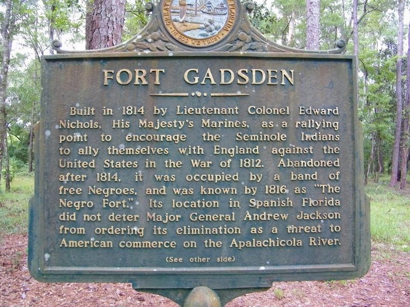
Built in 1814 by Lieutenant Colonel Edward Nichols, His Majesty's Marines, as a rallying point to encourage the Seminole Indians to ally themselves with England against the United States in the War of 1812. Abandoned after 1814, [the date is wrong, should be 1815] it was occupied by a band of free Negroes, and was known by 1816 as "The Negro Fort." Its location in Spanish Florida did not deter Major General Andrew Jackson from ordering its elimination as a threat to American commerce on the Apalachicola River.
Side B
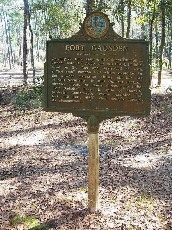
On July 27, 1816, Lieutenant Colonel Douglas L. Clinch, with U.S. forces and 150 Creek Indians, fired on the fort and destroyed it with a “hot shot” cannon ball which exploded in the powder magazine killing all but 30 of 300 occupants. In 1818 General Jackson directed Lieutenant James Gadsden to build “Fort Gadsden” here, in spite of Spanish protests. Confederate troops occupied the fort until July 1863, when malaria forced its abandonment.
Erected 1968 by Florida Board of Parks and Natural Resources. (Marker Number F-159.)
Topics and series. This historical marker is listed in these topic lists: African Americans • Forts and Castles • Wars, US Indian. In addition, it is included in the Former U.S. Presidents: #07 Andrew Jackson series list. A significant historical year for this entry is 1814.
Location. 29° 56.297′ N, 85° 0.588′ W. Marker is near Sumatra, Florida, in Franklin County. Marker can be reached from Forest Road 129, 4 miles west of State Road 65. On Route 65, a sign marks the turn for Fort Gadsden/Prospect Bluff Historic Sites. Go west on Forest Road 129. In about 4 miles, turn left onto Forest Road 129-D. The kiosk and parking lot are visible from that point. Roads are unpaved and may have potholes.
There is a walk from the parking lot, kiosk, and toilets to the site.
The site was named Fort Gadsden Historic Site until 2016, when its name was changed to Prospect Bluff Historic Sites. Some signs still carry the old name. Touch for map. Marker is in this post office area: Sumatra FL 32335, United States of America. Touch for directions.
Other nearby markers. At least 5 other markers are within 17 miles of this marker, measured as the crow flies. Steamship Tragedy (here, next to this marker); British Fort Magazine (here, next to this marker); "Milly Francis" (here, next to this marker); Wewahitchka Centennial (approx. 16.7 miles away); Gulf County Old Courthouse (approx. 16.7 miles away).
Regarding Fort Gadsden. The fort was abandoned when Florida became a U.S. territory in 1821. Despite the marker, there is no known activity at the site between 1821 and 1862-63, when it was occupied by Confederate troups.
Also see . . . Prospect Bluff Historic Site - Wikipedia. (Submitted on February 25, 2018, by Daniel Eisenberg of Boca Raton, Florida.)
Additional commentary.
1. Now part of the National Underground Railroad Network to Freedom.
In March, 2019, Negro Fort, part of the Prospect Bluff Historic Sites on the Apalachicola National Forest, has been accepted by the National Park Service (NPS) for inclusion into the National Underground Railroad Network to Freedom. According to the NPS Certificate of Acceptance, this honor is bestowed upon sites that make a “significant contribution to the understanding of the Underground Railroad in American history.”
— Submitted April 22, 2019, by Mark Hilton of Montgomery, Alabama.
2. Hurricane Michael hits Prospect Bluff Historic Site.
Hurricane Michael, a Category 5 hurricane, severely damaged the Prospect Bluff Historic Sites and the surrounding buildings in October 2018, uprooted large trees, and created multiple safety hazards. As a result, the U.S. Forest Service closed the area to the public.
— Submitted April 22, 2019, by Mark Hilton of Montgomery, Alabama.
Additional keywords. Apalachicola River, Prospect Bluff, British post
Credits. This page was last revised on July 23, 2019. It was originally submitted on February 24, 2018, by Daniel Eisenberg of Boca Raton, Florida. This page has been viewed 668 times since then and 55 times this year. Last updated on April 15, 2018, by Daniel Eisenberg of Boca Raton, Florida. Photos: 1. submitted on February 24, 2018, by Daniel Eisenberg of Boca Raton, Florida. 2. submitted on February 25, 2018, by Daniel Eisenberg of Boca Raton, Florida. • Bill Pfingsten was the editor who published this page.
Editor’s want-list for this marker. A wide shot of the marker and its surroundings. • Can you help?

