Colebrook in Coos County, New Hampshire — The American Northeast (New England)
The Coos Trail
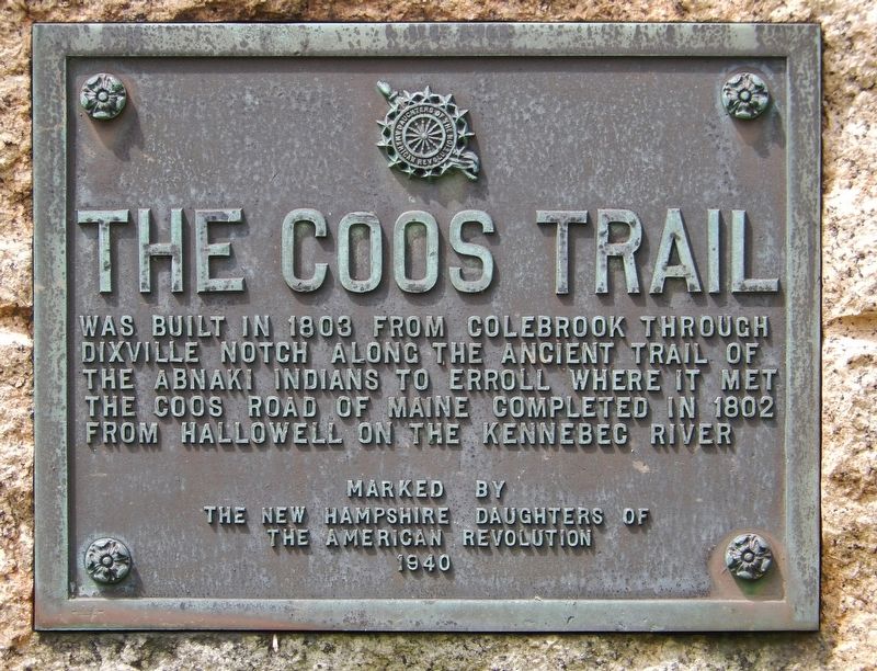
The Coos Trail was built in 1803 from Colebrook through Dixville Notch along the ancient trail of the Abnaki Indians to Erroll where it met the Coos Road of Maine completed in 1802 from Hallowell on the Kennebec River
The New Hampshire Daughters of
The American Revolution
1940
Erected 1940 by New Hampshire Daughters of the American Revolution.
Topics and series. This historical marker is listed in these topic lists: Native Americans • Roads & Vehicles. In addition, it is included in the Daughters of the American Revolution series list. A significant historical year for this entry is 1803.
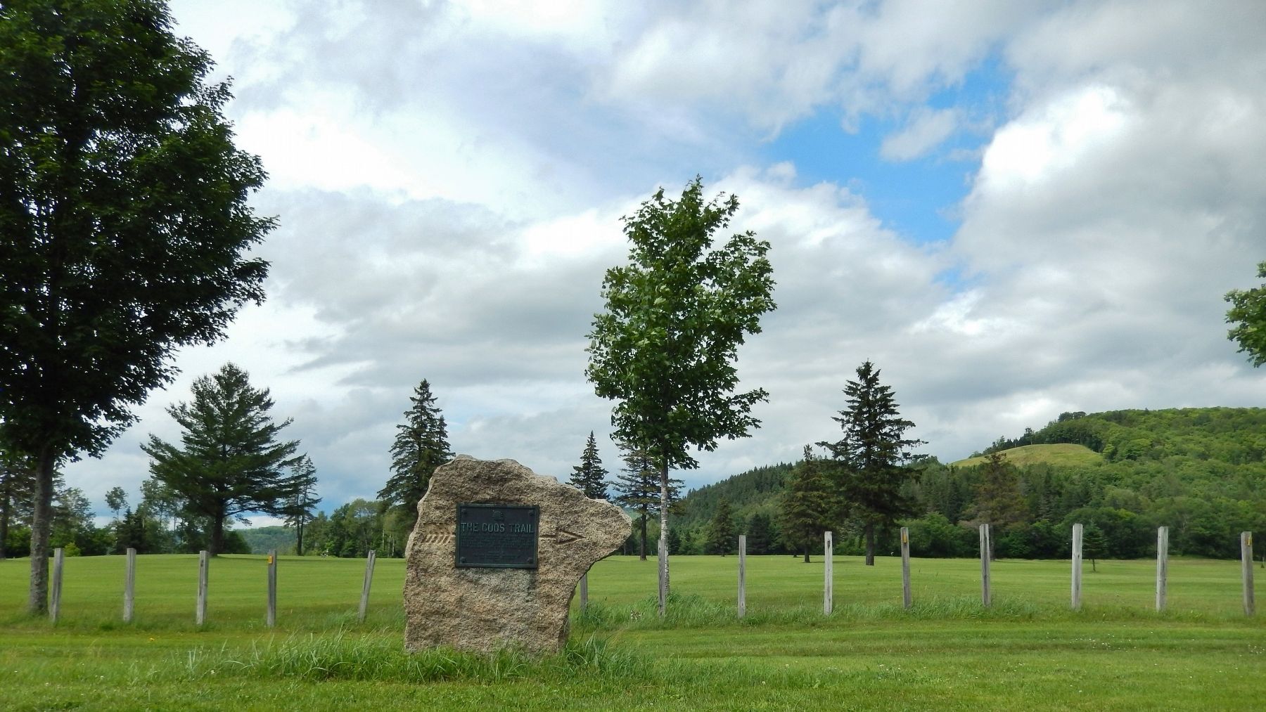
Location. 44° 53.615′ N, 71° 29.164′ W. Marker is in Colebrook, New Hampshire, in Coos County. Marker is on Mohawk Road (New Hampshire Route 26) 0.1 miles east of Abeneki Lane, on the right when traveling west. Marker is a metal plaque mounted on a large granite boulder. Marker is located a few yards north of the highway at this location. Touch for map. Marker is in this post office area: Colebrook NH 03576, United States of America. Touch for directions.
Other nearby markers. At least 8 other markers are within 7 miles of this marker, measured as the crow flies. Hicks Hardware (approx. half a mile away); Country Roots (approx. half a mile away); Sutton Place (approx. half a mile away); Citizen’s Bank (approx. half a mile away); Jenkins Funeral (approx. half a mile away); Wilderness Restaurant (approx. 0.6 miles away); Remick Building (approx. 0.6 miles away); Metallak (approx. 6.2 miles away). Touch for a list and map of all markers in Colebrook.
More about this marker. There are two misspellings on this marker: (1) the Indian tribe name is "Abenaki" not "Abnaki" and (2) "the trail goes to "Errol" not "Erroll".
Also see . . . Abenaki Culture and History.
There were three subdivisions of the Abenaki tribe: the Sokoki (or Sokokis), the Cowasuck (Cowass or Coos), and the Missisquoi (or Mazipskwik.) Up to 75% of Native Americans in New England died of European diseases in the 1500's and 1600's. Dozens of distinct tribes originally lived in this area, but after each disaster the survivors of neighboring villages merged together, and their identities became blurry even in Indian oral history. Since the Abenaki people retreated into Canada to avoid attacks, the British considered them Canadian Indians, but in fact the Abenakis were original natives of New England. (Submitted on April 16, 2018, by Cosmos Mariner of Cape Canaveral, Florida.)
Credits. This page was last revised on April 17, 2018. It was originally submitted on April 15, 2018, by Cosmos Mariner of Cape Canaveral, Florida. This page has been viewed 554 times since then and 75 times this year. Photos: 1. submitted on April 15, 2018, by Cosmos Mariner of Cape Canaveral, Florida. 2. submitted on April 16, 2018, by Cosmos Mariner of Cape Canaveral, Florida. • Andrew Ruppenstein was the editor who published this page.

