Erie in Erie County, Pennsylvania — The American Northeast (Mid-Atlantic)
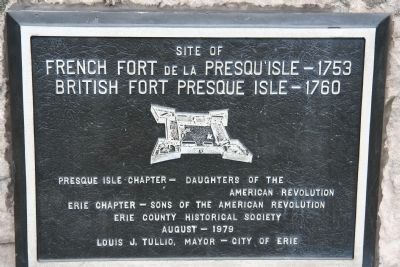
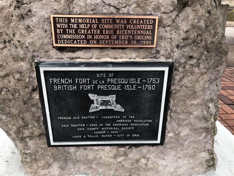
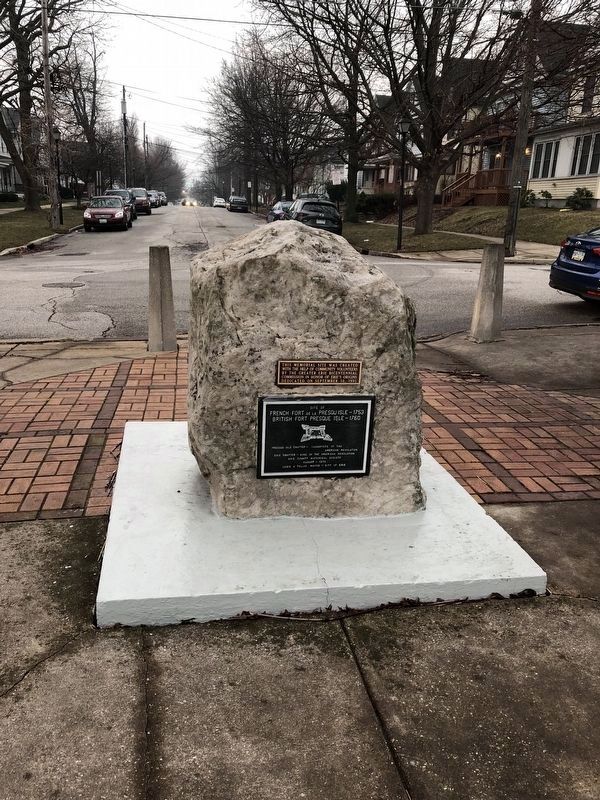
French Fort de la Presqu'isle - 1753
British Fort Presque Isle - 1760
French Fort de la Presqu'Isle - 1753
British Fort Presque Isle - 1760
Erected 1979 by Presque Isle Chapter - Daughters of the American Revolution and Erie Chapter - Sons of the American Revolution and Erie County Historical Society.
Topics and series. This historical marker is listed in these topic lists: Military • War, French and Indian • War, US Revolutionary • Wars, US Indian. In addition, it is included in the Daughters of the American Revolution, and the Sons of the American Revolution (SAR) series lists. A significant historical year for this entry is 1753.
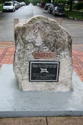
Location. 42° 8.246′ N, 80° 4.804′ W. Marker is in Erie, Pennsylvania, in Erie County. Marker is at the intersection of East Front Street and Parade Street, on the right when traveling west on East Front Street. This historical marker is located at the northern end of Parade Street, on the ridge that overlooks the Presque Isle harbor. Touch for map. Marker is in this post office area: Erie PA 16507, United States of America. Touch for directions.
Other nearby markers. At least 8 other markers are within walking distance of this marker. American Fort (here, next to this marker); Erie Heritage (here, next to this marker); Erie Area Native Americans (here, next to this marker); Fort Presque Isle (here, next to this marker); Fort de la Presqu'ile (here, next to this marker); The Erie Stone (here, next to this marker); Russian Town / Pycckое Cоседство (approx. 0.2 miles away); Hero of Gettysburg (approx. 0.3 miles away). Touch for a list and map of all markers in Erie.
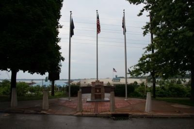
More about this marker. This historical marker is situated with a group of historical markers at what is today called the "Erie Heritage Parade Street Memorial" after the numerous events of historic significance that took place at this location that was so strategic during the white European struggle to control the Great Lakes Basin from the French and Indian War through the War of 1812. What made this spot so strategic was not only the large sand peninsula that provided protection for the harbor, but also its location at the northern end of a key water and portage route from Lake Erie to Fort Pitt on the Ohio River.
Photographed By Devry Becker Jones (CC0), April 13, 2018
2. French Fort de la Presqu'Isle - 1753 Marker
Photographed By Devry Becker Jones (CC0), April 13, 2018
5. French Fort de la Presqu'Isle - 1753 Marker
Credits. This page was last revised on April 20, 2018. It was originally submitted on August 6, 2009, by Dale K. Benington of Toledo, Ohio. This page has been viewed 1,367 times since then and 24 times this year. Last updated on April 16, 2018, by Devry Becker Jones of Washington, District of Columbia. Photos: 1. submitted on August 6, 2009, by Dale K. Benington of Toledo, Ohio. 2. submitted on April 16, 2018, by Devry Becker Jones of Washington, District of Columbia. 3, 4. submitted on August 6, 2009, by Dale K. Benington of Toledo, Ohio. 5. submitted on April 16, 2018, by Devry Becker Jones of Washington, District of Columbia. • Bill Pfingsten was the editor who published this page.
