Near Rochelle in McCulloch County, Texas — The American South (West South Central)
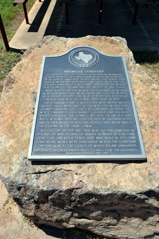
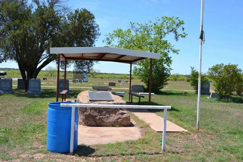
Rochelle Cemetery
When Willoughby’s 19-month-old son Ernest Eckie died in 1894, he buried the infant near the school. In 1896, Willoughby deeded one acre here as the Rochelle Cemetery. A new school was built here in 1899.
The community and schoolhouse were moved in 1903 about 2 miles northwest to the new Fort Worth & Rio Grande Railroad. The cemetery continued to serve the new community, first named Crothers but soon renamed Rochelle. The tombstone here of the Rev. and Mrs. C.W. Jones indicate that she died in Crothers (1906) and he died in Rochelle (1910), though they both died in their home in the same town.
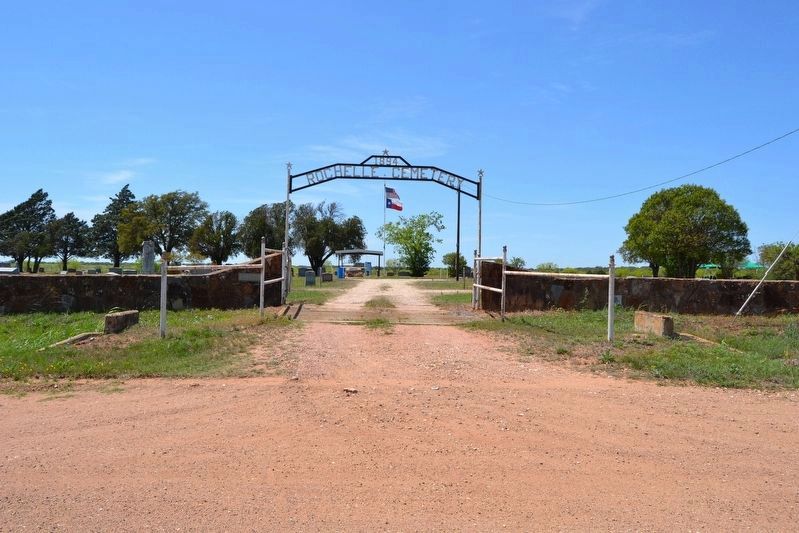
Willoughby deeded another acre to this cemetery in 1910, but he was ultimately buried in Brady at Live Oak Cemetery. The rock fence here was built in 1935, and four more acres were purchased in 1943. The cemetery contains almost 500 graves, of which 105 are unmarked. An association founded in 1972 cares for the grounds.
Erected 1986 by Texas Historical Commission. (Marker Number 4314.)
Topics. This historical marker is listed in these topic lists: Cemeteries & Burial Sites • Settlements & Settlers. A significant historical year for this entry is 1896.
Location. 31° 12.871′ N, 99° 11.349′ W. Marker is near Rochelle, Texas, in McCulloch County. Marker can be reached from County Road 423, 0.3 miles south of County Road 424, on the right when traveling south. Touch for map. Marker is in this post office area: Rochelle TX 76872, United States of America. Touch for directions.
Other nearby markers. At least 8 other markers are within 11 miles of this marker, measured as the crow flies. Rochelle Depot (approx. 1½ miles away); Soldiers Waterhole (approx. 3.6 miles away); Onion Creek Indian Fight (approx. 4.6 miles away); Swedish Settlers (approx. 5.1 miles away); East Sweden Presbyterian Church (approx. 5.2 miles away); Curtis Airfield (approx. 8.2 miles away); Union Passenger Depot (approx. 10.1 miles away); General Ben McCulloch, C.S.A. (approx. 10.2 miles away). Touch for a list and map of all markers in Rochelle.
Credits. This page was last revised on April 17, 2018. It was originally submitted on April 16, 2018, by Duane Hall of Abilene, Texas. This page has been viewed 247 times since then and 36 times this year. Photos: 1, 2, 3. submitted on April 16, 2018, by Duane Hall of Abilene, Texas.


