Sandy Hook in Washington County, Maryland — The American Northeast (Mid-Atlantic)
Exploring Maryland Heights
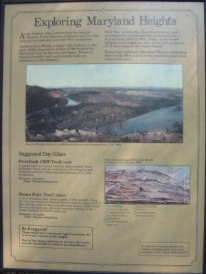
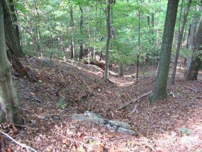
Antietam Iron Works, a major nail producer in the early 1800s, burned the timber of the heights for charcoal to fuel furnace and forges. Traces of charcoal hearths and roads remain today as testimony to this industry.
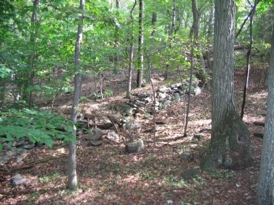
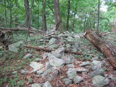
Civil War earthworks, stone fortifications, and encampments transformed the mountain into a fortress from 1862 to 1865. Today, these former defenses and camps are some of the best preserved Civil War ruins in the United States.
Nature has reclaimed Maryland Heights, but hiking these trails offers a look at the weathered and silent ruins of the past.
Suggested Day Hikes
Overlook Cliff Trail (red)
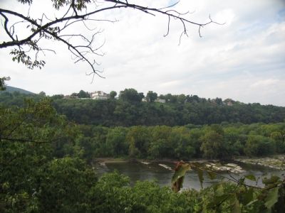
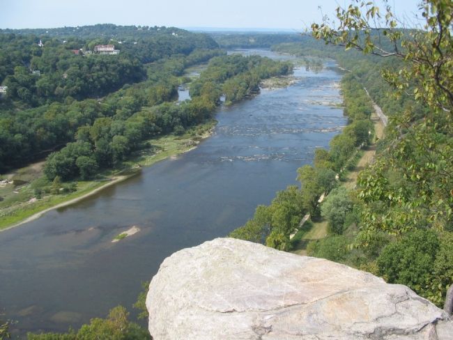
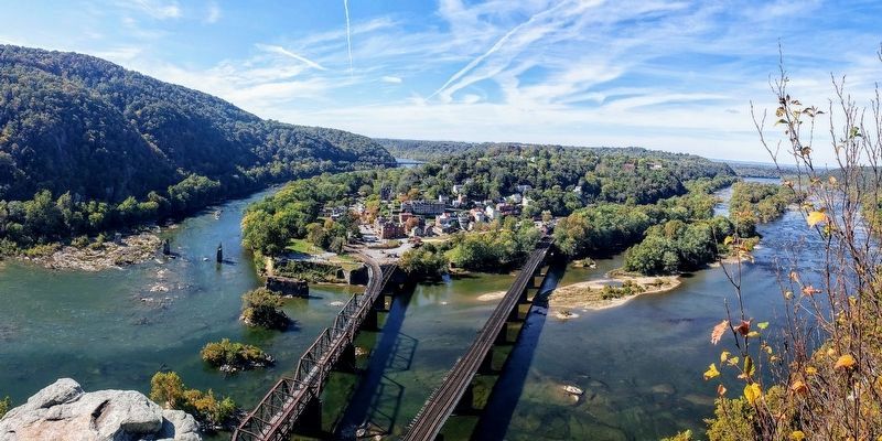
A steady climb to a scenic overlook with excellent views of Harpers Ferry and the confluence of the Potomac and Shenandoah Rivers. This trail also explores a Civil War fortification.
Distance: 2.8 miles
Time: 2 hours round trip.
Stone Fort Trail (blue)
A more strenuous hike, steep in spots, to the summit. Along the way are weathered charcoal hearths and the ruins of Civil War defenses and military campgrounds. Scenic vistas reveal Maryland Heights as a strategic mountain citadel on the border between the North and South.
Distance: 4.7 miles
Time: 3 hours round trip
Be Prepared!
These trails have strenuous uphill sections, no restrooms, and no water supply.
Due to the steep and uneven terrain, the trails are not accessible to visitors in wheelchairs.
Federal law requires protection of these irreplaceable ruins and artifacts. Leave them undisturbed.
Topics. This historical marker is listed in these topic lists: Industry & Commerce • Natural Features • War, US Civil. A significant historical year for this entry is 1862.
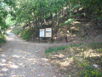
Location. Marker has been reported missing. It was located near 39° 19.732′ N, 77° 43.847′ W. Marker was in Sandy Hook, Maryland, in Washington County. Marker was on Sandy Hook Road, on the right when traveling west. Located at the start of the Maryland Heights trail, Harpers Ferry National Historical Park. Touch for map. Marker was in this post office area: Knoxville MD 21758, United States of America. Touch for directions.
Other nearby markers. At least 8 other markers are within walking distance of this location. Naval Battery (approx. ¼ mile away); Maryland Heights - Mountain Fortress of Harpers Ferry (approx. ¼ mile away); Branding the B&O (approx. 0.3 miles away in West Virginia); Hiking Maryland Heights (approx. 0.3 miles away); Pvt Luke Quinn (approx. 0.3 miles away in West Virginia); Power of the Potomac (approx. 0.3 miles away in West Virginia); Railroad Embankment (approx. 0.3 miles away in West Virginia); Warehouse (approx. 0.3 miles away in West Virginia). Touch for a list and map of all markers in Sandy Hook.
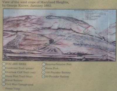
More about this marker. In the center of the marker is a painting of "Maryland Heights during the Confederate advance toward Harpers Ferry, June, 1863." In the lower right is a "View of the west slope of Maryland Heights, by George Kaiser, January 1863." It has keyed references to important landmarks on the heights.
Regarding Exploring Maryland Heights. This marker is one of a set along the National Park Service's trail to the top of Maryland Heights. You can see the other markers in this set through the Maryland Heights Virtual Tour by Markers link below.
Related markers. Click here for a list of markers that are related to this marker. Maryland Heights Virtual Tour by Markers
Credits. This page was last revised on May 28, 2021. It was originally submitted on January 27, 2008, by Craig Swain of Leesburg, Virginia. This page has been viewed 4,255 times since then and 26 times this year. Last updated on April 18, 2018, by Bradley Owen of Morgantown, West Virginia. Photos: 1, 2, 3, 4, 5, 6, 7, 8. submitted on January 27, 2008, by Craig Swain of Leesburg, Virginia. 9. submitted on May 25, 2021, by Bradley Owen of Morgantown, West Virginia. • Bill Pfingsten was the editor who published this page.
