Bellevue in Southwest Washington in Washington, District of Columbia — The American Northeast (Mid-Atlantic)
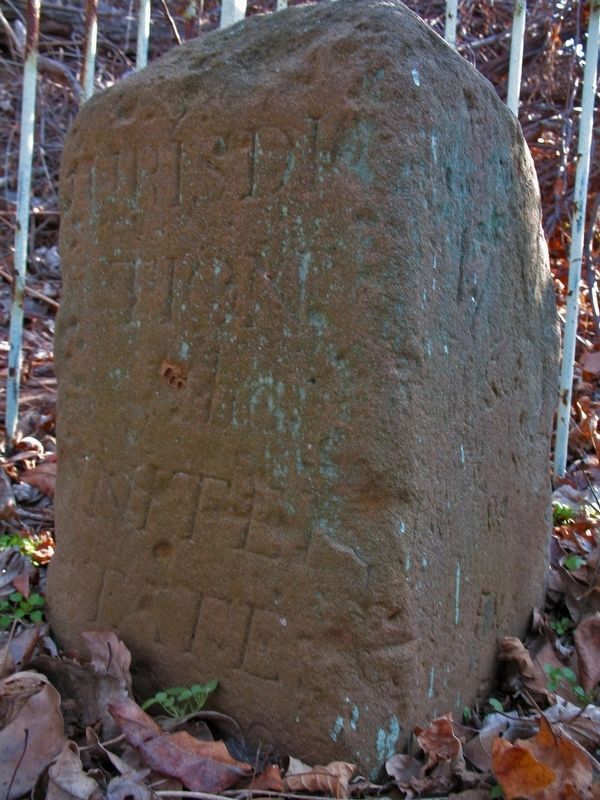
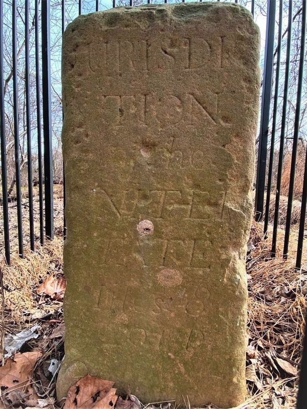
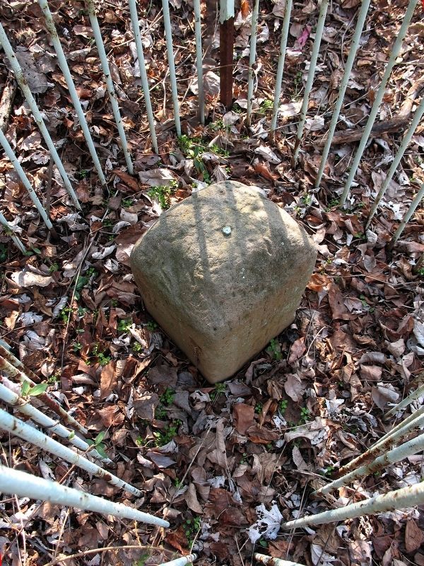
Original Federal Boundary Stone, District of Columbia, Southeast 9
Miles 9
291 P
1792
Maryland
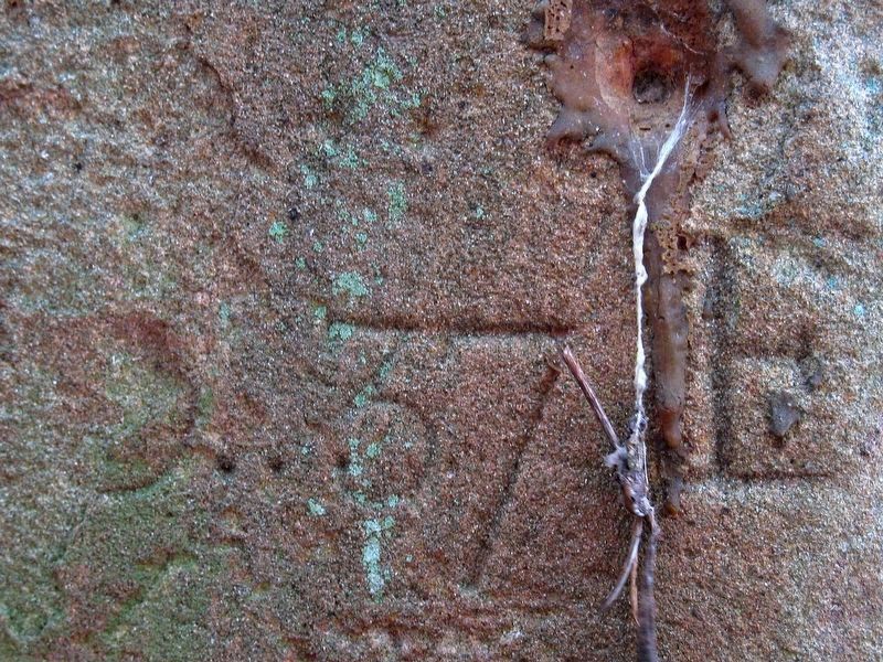
Var 0⁰ 37’ E
Erected 1792.
Topics and series. This historical marker is listed in this topic list: Political Subdivisions. In addition, it is included in the Original Federal Boundary Stones series list.
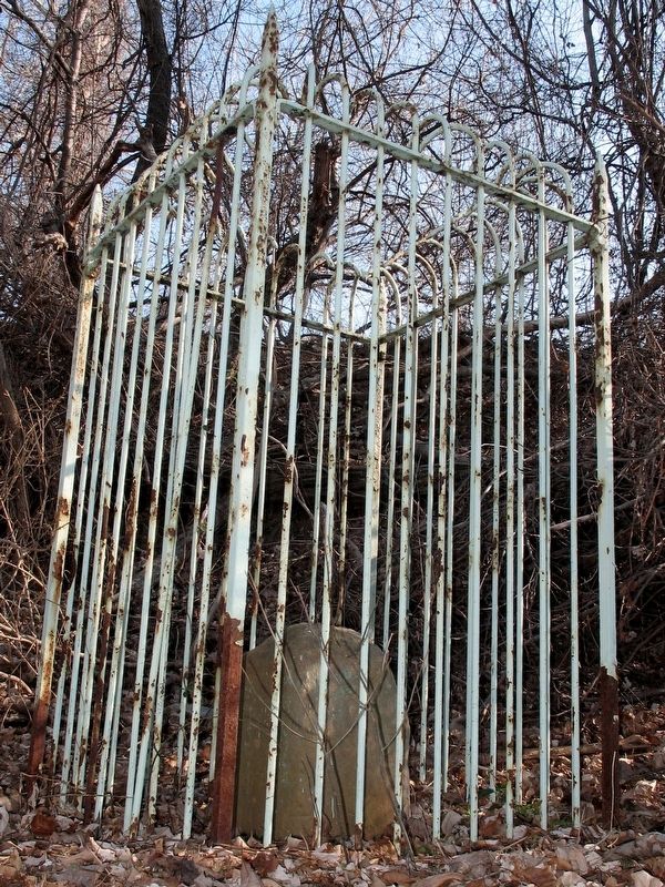
Location. 38° 48.223′ N, 77° 1.415′ W. Marker is in Southwest Washington in Washington, District of Columbia. It is in Bellevue. Marker can be reached from Kenilworth Avenue Freeway. This marker is inaccessible. It might be reached by climbing under the I-295 bridge from Oxon Hill Farm Park or by boat. Touch for map. Marker is in this post office area: Washington DC 20032, United States of America. Touch for directions.
Other nearby markers. At least 8 other markers are within walking distance of this marker. The Potomac Highway (approx. 0.6 miles away in Maryland); The Capture of Alexandria (approx. 0.6 miles away in Maryland); Oxon Cove, the Potomac, and the Chesapeake (approx. 0.7 miles away in Maryland); Crossing the River (approx. 0.7 miles away in Maryland); Original Federal Boundary Stone, District of Columbia, Southeast 8 (approx. 0.7 miles away in Maryland); Woodrow Wilson Memorial Bridge (approx. 0.7 miles away in Maryland); Two Worlds Meet in the Summer of 1608. (approx. ¾ mile away in Maryland); Rockets on the Hill (approx. ¾ mile away in Maryland).
More about this marker. The marker is on the District side of the DC-Maryland border.
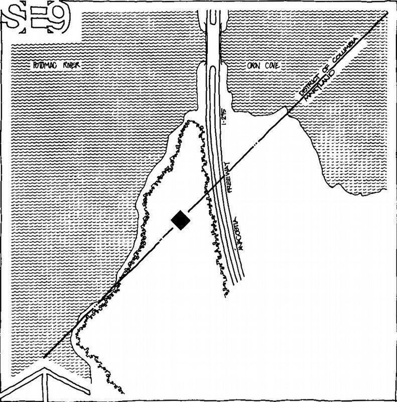
Photographed By National Capital Planning Commission, 1976
7. The Last Stone in Maryland
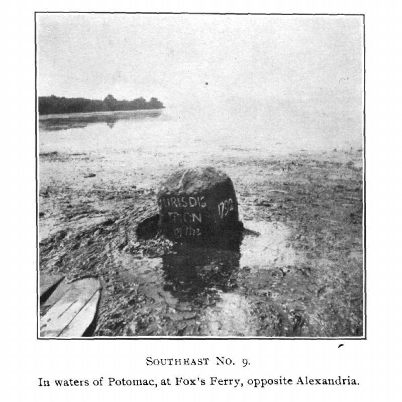
“Southeast No. 9 Mile Marker - The last stone in Maryland, this has been known in the past as the Fox Ferry Milestone probably because of its location in the Potomac riverbed at Fox's Ferry. It has been submerged in the river several times since the original survey and was moved to higher ground and reset in 1969. However, it has not been determined if the new site marks the actual District-Maryland boundary.” – National Capital Planning Commission, 1976.
From page 26 of Boundary Markers of the Nation’s Capital, A Proposal for Their Preservation and Protection – A National Capital Planning Commission Bicentennial Report. – Summer 1976
From page 26 of Boundary Markers of the Nation’s Capital, A Proposal for Their Preservation and Protection – A National Capital Planning Commission Bicentennial Report. – Summer 1976
Credits. This page was last revised on August 20, 2023. It was originally submitted on April 19, 2018, by Allen C. Browne of Silver Spring, Maryland. This page has been viewed 403 times since then and 36 times this year. Last updated on August 15, 2020, by Roberto Bernate of Arlington, Virginia. Photos: 1. submitted on April 19, 2018, by Allen C. Browne of Silver Spring, Maryland. 2. submitted on May 5, 2021, by Roberto Bernate of Arlington, Virginia. 3, 4, 5, 6, 7. submitted on April 19, 2018, by Allen C. Browne of Silver Spring, Maryland. • Devry Becker Jones was the editor who published this page.
