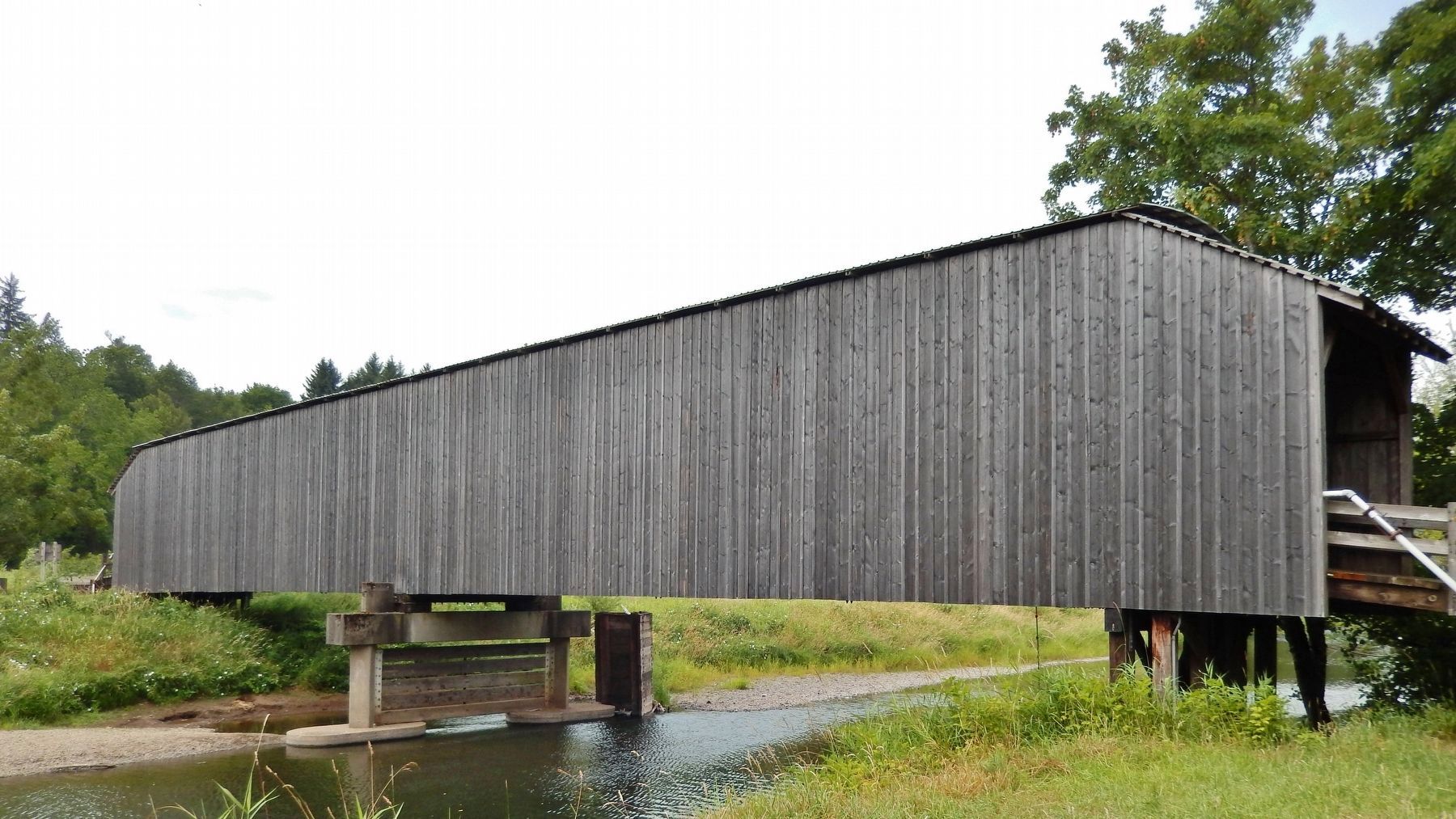
Grays River in Wahkiakum County, Washington — The American West (Northwest)
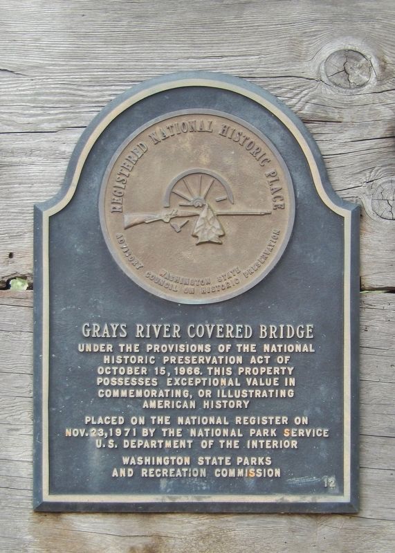
Grays River Covered Bridge
Under the provisions of the National
Historic Preservation Act of
October 15, 1966, this property
possesses exceptional value in
commemorating, or illustrating
American history
Placed on the National Register on
Nov. 23, 1971 by the National Park Service
U.S. Department of the Interior
Washington State Parks
and Recreation Commission
Erected by Washington State Parks and Recreation Commission.
Topics and series. This historical marker is listed in these topic lists: Bridges & Viaducts • Man-Made Features. In addition, it is included in the Covered Bridges series list. A significant historical year for this entry is 1905.
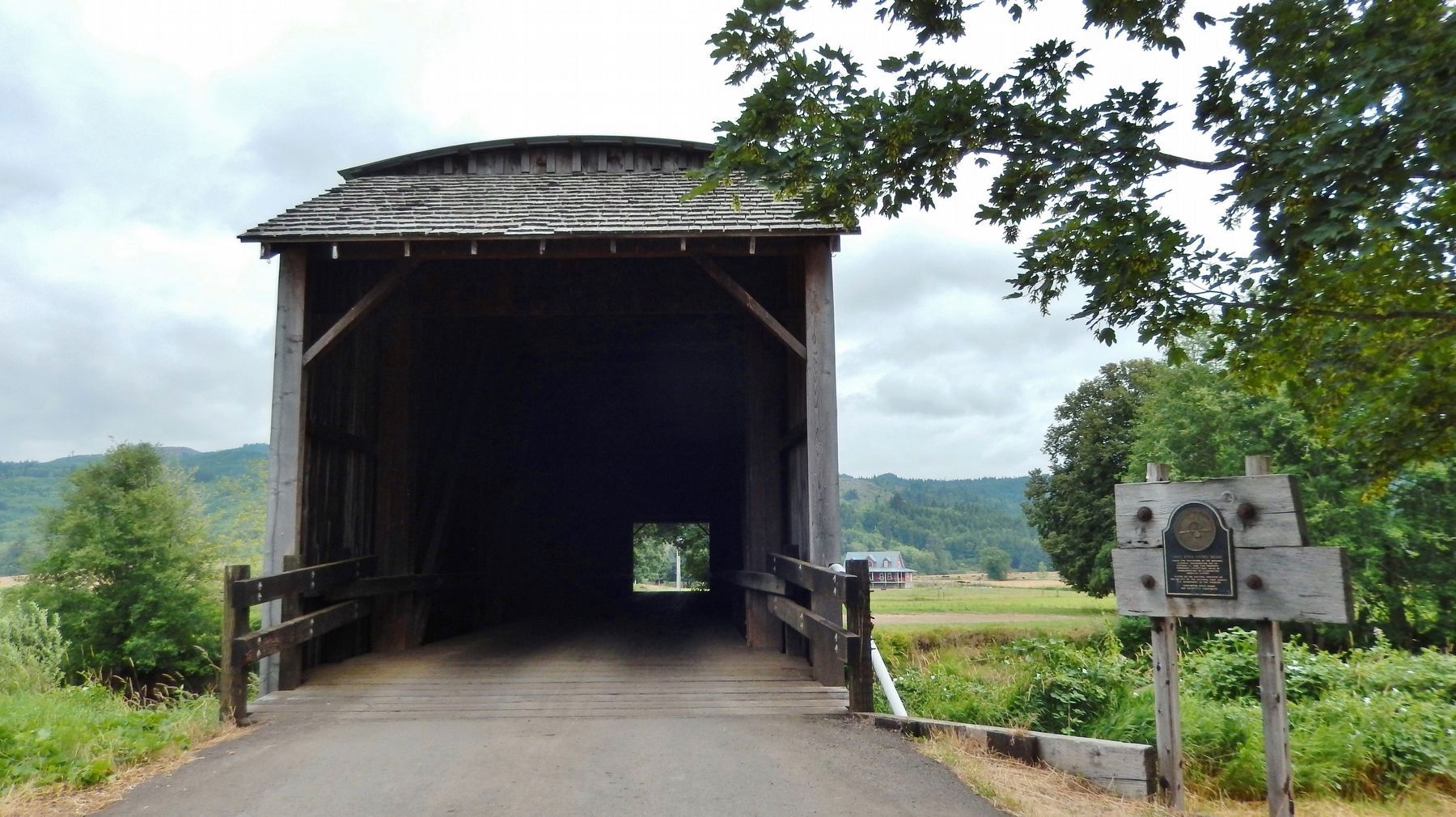
Location. 46° 21.31′ N, 123° 34.882′ W. Marker is in Grays River, Washington, in Wahkiakum County. Marker is on Covered Bridge Road, 0.1 miles south of Loop Road, on the right when traveling south. Marker is located at the north entrance to the Grays River Covered Bridge, just before crossing Grays River on the bridge. Access to Loop Road and Covered Bridge Road is south from Washington State Highway 4, about 1/4 mile east of Fairview Road. Touch for map. Marker is in this post office area: Grays River WA 98621, United States of America. Touch for directions.
Other nearby markers. At least 5 other markers are within 15 miles of this marker , measured as the crow flies. Ahlberg Park (about 300 feet away, measured in a direct line); The Columbia's Estuary (approx. 13.8 miles away in Oregon); The Lewis and Clark Expedition (approx. 13.8 miles away in Oregon); Cathlamet (approx. 14.1 miles away); "Captain" John West and Westport, Oregon (approx. 14˝ miles away in Oregon).
More about this marker. Marker is a metal plaque mounted at eye-level on a wooden backing near the northwest corner of the bridge.
Regarding Grays River Covered Bridge. National Register of Historic Places (1971)
Related markers. Click here for a list of markers that are related to this marker. Grays River Covered Bridge
Also see . . .
1. Grays River Covered Bridge.
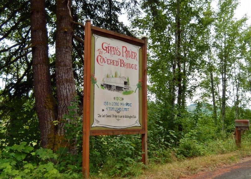
The Grays River Covered Bridge is a one-lane covered bridge over the Grays River in western Wahkiakum County, Washington. It is the only covered bridge still in use as a public highway in Washington State. The bridge was built in 1905 in order to allow horse and wagon agricultural traffic to cross the river. Hans P. Ahlberg, whose dairy farm spanned both sides of the river, was instrumental in getting county commissioners to authorize the project, which was built on his property by the Ferguson & Huston company of Astoria, Oregon. (Submitted on April 19, 2018, by Cosmos Mariner of Cape Canaveral, Florida.)
2. Grays River Covered Bridge.
(This link presents many historic photographs of the bridge.)
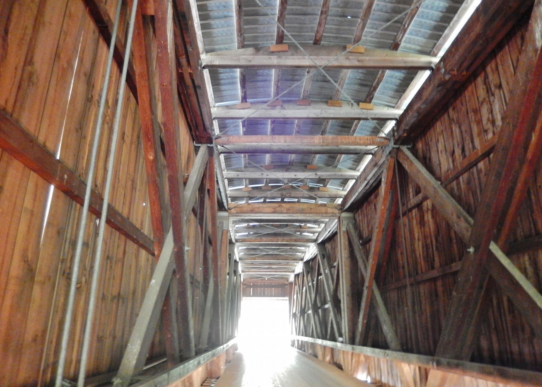
The 148-foot Howe truss Grays River Covered Bridge was the first vehicular bridge to span the Grays River. The bridge facilitated transportation of dairy and lumber products from western Wahkiakum County to the community of Grays River, and to marketing and shipping centers at Grays Bay on the Columbia River to the southwest. It is the oldest covered bridge in Washington State that is a functional part of a public highway system. (Submitted on April 19, 2018, by Cosmos Mariner of Cape Canaveral, Florida.)
Credits. This page was last revised on November 17, 2020. It was originally submitted on April 19, 2018, by Cosmos Mariner of Cape Canaveral, Florida. This page has been viewed 548 times since then and 87 times this year. Photos: 1, 2, 3, 4, 5. submitted on April 19, 2018, by Cosmos Mariner of Cape Canaveral, Florida. • Andrew Ruppenstein was the editor who published this page.
