Woodbridge in Prince William County, Virginia — The American South (Mid-Atlantic)
The Nation's River
Belmont Bay
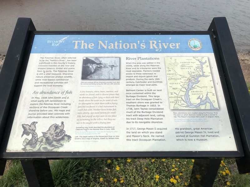
An abundance of fish
In May, 1608 John Smith and a small party left Jamestown to explore the Potomac River including sections of the Occoquan Creek shoreline before you. His maps and journal provided later colonists with information about this wilderness.
A few beavers, otters, bears, martins, and minks we found, and in diverse places that an abundance of fish, lying so thick with their heads above the water as for want of nets we attempted to catch them with a frying pan but we found it a bad instrument to catch fish with. Neither more better fish, more plenty, nor more variety for small fish, had any of us ever seen in one place so swimming in the water, but they are not to be caught with a frying pan.
Quotation: John Smith described the abundance of creatures living in the Potomac River in June, 1608.
From The Journal of Captain John Smith, John M. Thompson, editor
The National Geographic Society, 2007
River Plantations
When this area was settled in the 1600s, lands along the Potomac River and its tributaries were the most desirable. Planters needed to access these waterways to import and export goods and produce. During the early 18th century, Colchester and Dumfries emerged as local ports.
Belmont Center is built on land once contained within the Burbage Dividend. This large tract on the Occoquan Creek's southern shore was granted to Thomas Burbage in 1653. In 1738, John Tayloe consolidated much of the Burbage Dividend tract with adjacent land, calling his tract Deep Hole Plantation due to its navigable shoreline.
In 1717, George Mason II acquired the land on which you stand and Mason's Neck. He named this tract Occoquan Plantation.
His grandson, great American patriot, George Mason IV, lived and worked at Gunston Hall Plantation, which is now a museum.
(captions)
Free and enslaved African Americans provided most labor for commercial fishing during the 18th and 19th centuries.
Courtesy of the Library of Congress
Left: This beast swims in the Potowmack River on John Smith's 1612 map of Virginia, drawn by William Hole.
Courtesy of the Library of Congress
Many plantations were
Map adapted from Gunston Hall: Return to Splendor (1991).
Courtesy of Gunston Hall Plantation, Mason Neck, Virginia
Erected by Prince William County.
Topics. This historical marker is listed in these topic lists: African Americans • Agriculture • Settlements & Settlers • Waterways & Vessels. A significant historical month for this entry is May 1608.
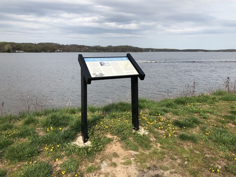
Location. 38° 39.176′ N, 77° 13.747′ W. Marker is in Woodbridge, Virginia, in Prince William County. Marker can be reached from Belmont Bay Drive east of Tides Street, on the left when traveling east. Touch for map. Marker is at or near this postal address: 401 Belmont Bay Drive, Woodbridge VA 22191, United States of America. Touch for directions.
Other nearby markers. At least 8 other markers are within 2 miles of this marker, measured as the crow flies. End of the Water (approx. 0.4 miles away); East Coast Radio Transmitting Station (approx. 0.7 miles away); Grasslands Are Alive! (approx. 0.7 miles away); Welcome to Occoquan Bay National Wildlife Refuge (approx. 0.8 miles away); Occoquan Bay National Wildlife Refuge Bird Banding Station (approx. one mile away); A Near Tragedy (approx. 1.1 miles away); Colchester (approx. 1.3 miles away); The Trail to Victory at Yorktown (approx. 1˝ miles away). Touch for a list and map of all markers in Woodbridge.
Credits. This page was last revised on April 25, 2018. It was originally submitted on April 23, 2018, by Devry Becker Jones of Washington, District of Columbia. This page has been viewed 346 times since then and 18 times this year. Last updated on April 24, 2018, by Devry Becker Jones of Washington, District of Columbia. Photos: 1, 2. submitted on April 23, 2018, by Devry Becker Jones of Washington, District of Columbia. • Bernard Fisher was the editor who published this page.

