Near Alvaton in Meriwether County, Georgia — The American South (South Atlantic)
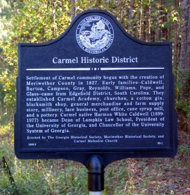
Carmel Historic District
Erected 1999 by The Georgia Historical Society, Meriwether Historical Society, and Carmel Methodist Church. (Marker Number 99-1.)
Topics and series. This historical marker is listed in these topic lists: Churches & Religion • Education • Industry & Commerce • Settlements & Settlers. In addition, it is included in the Georgia Historical Society series list. A significant historical year for this entry is 1827.
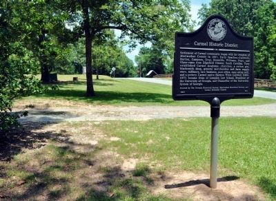
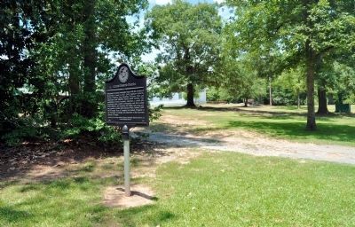
Location. 33° 10.29′ N, 84° 32.249′ W. Marker is near Alvaton, Georgia, in Meriwether County. Marker is on Mt Carmel Road, 0 miles south of Griffin Highway (Georgia Route 362), on the right when traveling south. Touch for map. Marker is in this post office area: Gay GA 30218, United States of America. Touch for directions.
Other nearby markers. At least 8 other markers are within 13 miles of this marker, measured as the crow flies. Mt. Pilgrim Lutheran Church (approx. 4.2 miles away); Noted Indian Trail (approx. 7.4 miles away); James B. "Jimmy" Hutchinson, Jr. (approx. 9 miles away); Red Oak Creek Covered Bridge (approx. 9.2 miles away); Starr's Mill (approx. 11 miles away); Pike County (approx. 12.3 miles away); Richmond D. Hill: Georgia’s First Black Mayor (approx. 12.7 miles away); Holly Grove African Methodist Episcopal Church (approx. 12.8 miles away).
Credits. This page was last revised on January 31, 2020. It was originally submitted on September 22, 2008, by David Seibert of Sandy Springs, Georgia. This page has been viewed 1,351 times since then and 28 times this year. Photos: 1. submitted on September 22, 2008, by David Seibert of Sandy Springs, Georgia. 2. submitted on April 11, 2010, by Dianne Wood of Newnan, Georgia. 3, 4. submitted on July 9, 2012, by David Seibert of Sandy Springs, Georgia. • Bill Pfingsten was the editor who published this page.


