Pineville in Rapides Parish, Louisiana — The American South (West South Central)
Pineville #4
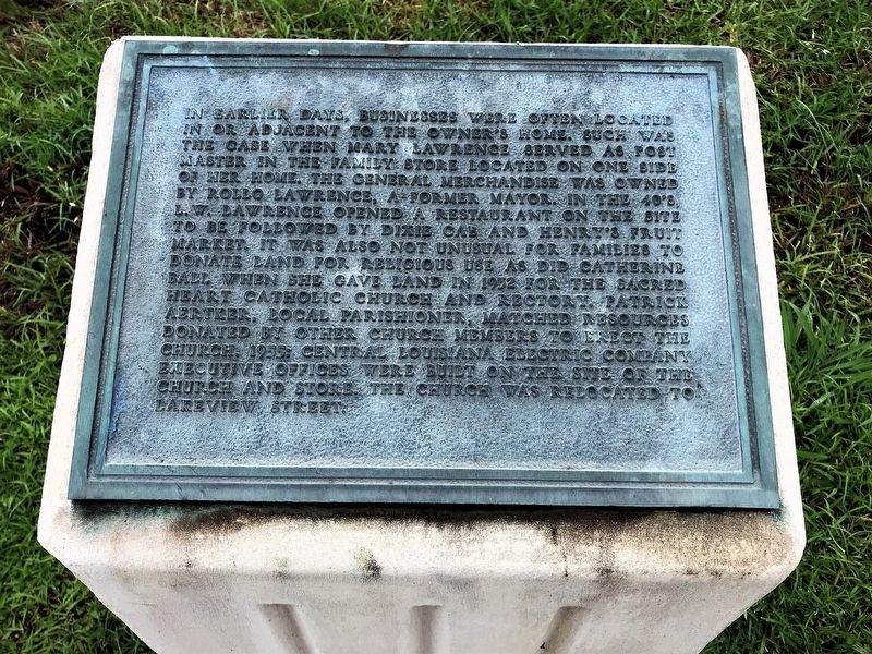
In earlier days, businesses were often located in or adjacent to the owner's home. Such was the case when Mary Lawrence served as post master in the family store located on one side of her home. The general merchandise was owned by Rollo Lawrence, a former mayor. In the 40's, L.W. Lawrence opened a restaurant on the site to be followed by Dixie Cab and Henry's Fruit Market. It was also not unusual for families to donate land for religious use as did Catherine Ball when she gave land in 1932 for the Sacred Heart Catholic Church and Rectory. Patrick Aertker, local parishioner, matched resources donated by other church member to erect the church. 1955: Central Louisiana Electric Company executive offices were built on the site of the church and store. The church was relocated to Lakeview Street.
Erected by City of Pineville.
Topics. This historical marker is listed in these topic lists: Roads & Vehicles • Settlements & Settlers.
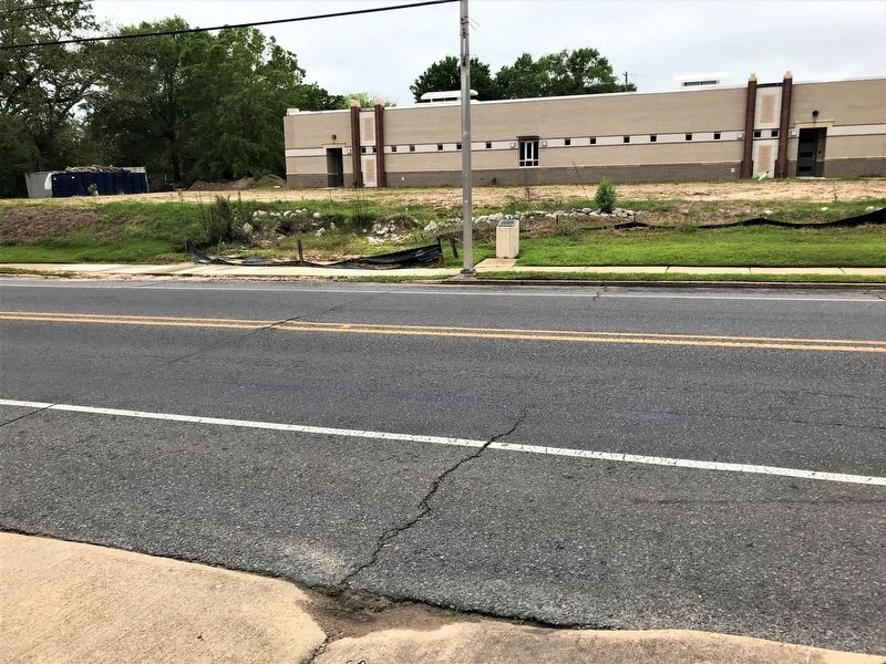
Location. 31° 19.107′ N, 92° 26.287′ W. Marker is in Pineville, Louisiana, in Rapides Parish. Marker is on Main Street (Business U.S. 165) west of Hospital Boulevard, on the right when traveling west. Touch for map. Marker is in this post office area: Pineville LA 71360, United States of America. Touch for directions.
Other nearby markers. At least 8 other markers are within walking distance of this marker. Red Hill (about 300 feet away, measured in a direct line); Mount Olivet Cemetery and Chapel (about 400 feet away); Mount Olivet Chapel (about 400 feet away); The Foot of Red Hill (about 500 feet away); 300 Block Main Street (approx. 0.2 miles away); The Jewish Cemetery (approx. 0.2 miles away); 200 Block of Main Street (approx. 0.2 miles away); 600 Block Main Street East (approx. 0.2 miles away). Touch for a list and map of all markers in Pineville.
Credits. This page was last revised on December 18, 2020. It was originally submitted on April 27, 2018, by Cajun Scrambler of Assumption, Louisiana. This page has been viewed 212 times since then and 5 times this year. Photos: 1, 2. submitted on April 27, 2018.

