Pineville in Rapides Parish, Louisiana — The American South (West South Central)
Red Hill
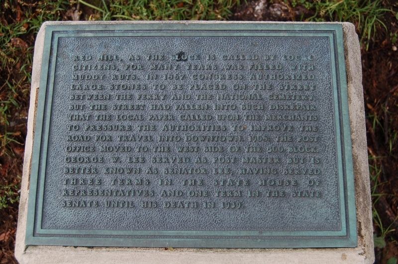
Red Hill, as the block is called by local citizens, for many years was filled with muddy ruts. In 1867 Congress authorized large stones to be placed on the street between the ferry and the National Cemetery, but the street had fallen into such disrepair that the local paper called upon merchants to pressure the authorities to improve the road for travel into downtown. 1908: The post office moved to the west side of the 600 block. George W. Lee served as post master but is better known as Senator Lee, having served three terms in the State House of Representatives and one term in the State Senate until his death in 1939.
Erected by City of Pineville.
Topics. This historical marker is listed in these topic lists: Government & Politics • Roads & Vehicles • Settlements & Settlers.
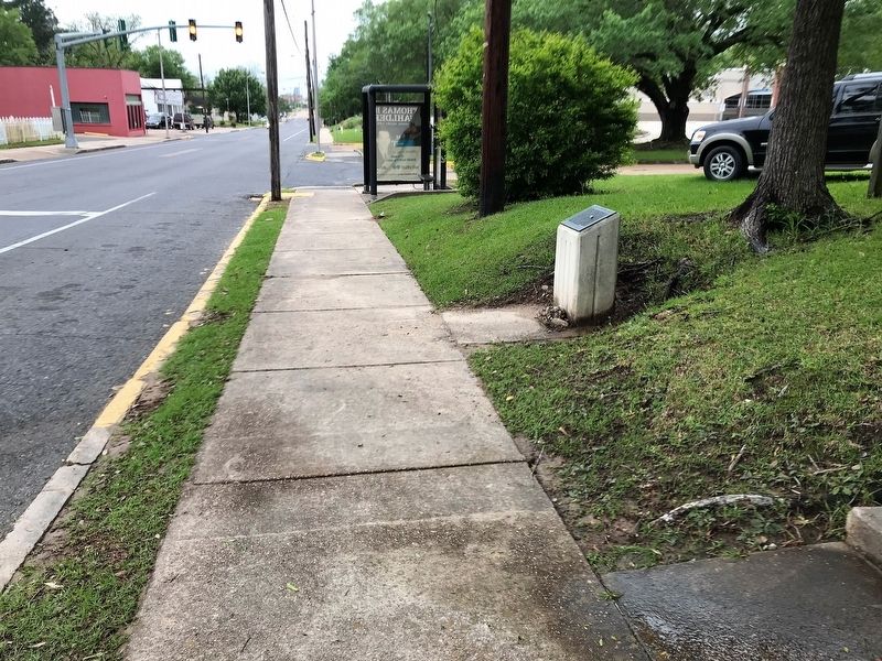
Location. 31° 19.145′ N, 92° 26.251′ W. Marker is in Pineville, Louisiana, in Rapides Parish. Marker is on Main Street (Business U.S. 165) east of Hospital Boulevard, on the right when traveling west. Touch for map. Marker is in this post office area: Pineville LA 71360, United States of America. Touch for directions.
Other nearby markers. At least 8 other markers are within walking distance of this marker. The Foot of Red Hill (within shouting distance of this marker); Pineville #4 (about 300 feet away, measured in a direct line); Mount Olivet Cemetery and Chapel (about 700 feet away); Mount Olivet Chapel (about 700 feet away); 600 Block Main Street East (approx. 0.2 miles away); 600 Block Main Street West (approx. 0.2 miles away); 300 Block Main Street (approx. 0.2 miles away); 700 Block Main Street (approx. ¼ mile away). Touch for a list and map of all markers in Pineville.
Credits. This page was last revised on November 23, 2023. It was originally submitted on April 27, 2018, by Cajun Scrambler of Assumption, Louisiana. This page has been viewed 230 times since then and 10 times this year. Photos: 1, 2. submitted on April 27, 2018.

