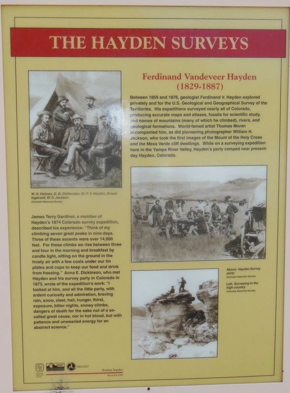
Near Hayden in Routt County, Colorado — The American Mountains (Southwest)
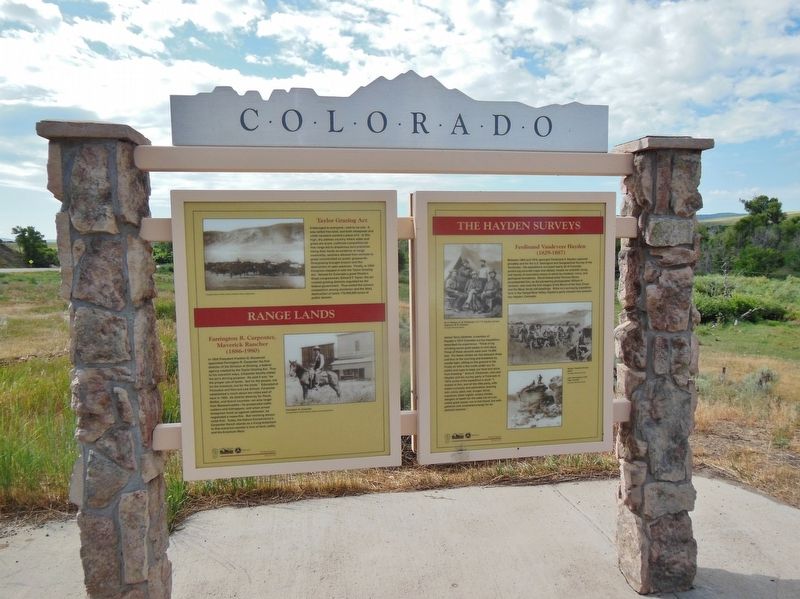
The Hayden Surveys
Ferdinand Vandeveer Hayden
— (1829-1887) —
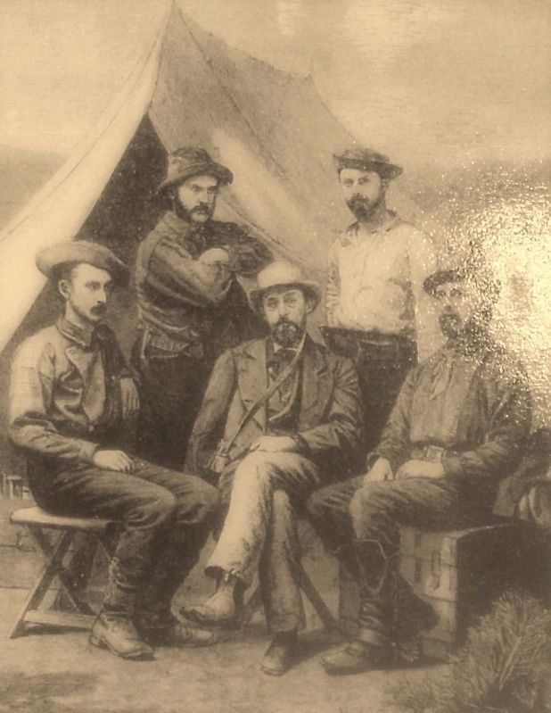
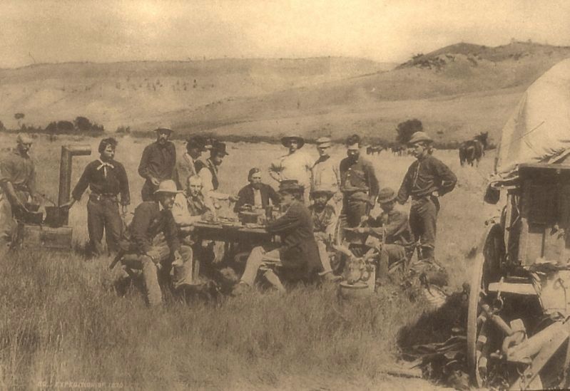
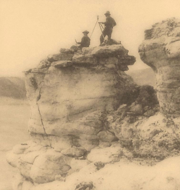
Between 1859 and 1876, geologist Ferdinand V. Hayden explored privately and for the U.S. Geological and Geographical Survey of the Territories. His expeditions surveyed nearly all of Colorado, producing accurate maps and atlases, fossils for scientific study, and names of mountains (many of which he climbed), rivers, and geological formations. World-famed artist Thomas Moran accompanied him, as did pioneering photographer William H. Jackson, who took the first images of the Mount of the Holy Cross and the Mesa Verde cliff dwellings. While on a surveying expedition here in the Yampa River Valley, Hayden's party camped near present-day Hayden, Colorado.
James Terry Gardiner, a member of Hayden's 1874 Colorado survey expedition, described his experience: "Think of my climbing seven great peaks in nine days. Three of these ascents were over 14,000 feet. For these climbs we rise between three and four in the morning and breakfast by candle light, sitting on the ground in the frosty air with a few coals under our tin plates and cups to keep our food and drink from freezing." Anna E. Dickinson, who met Hayden and his survey party in Colorado in 1873, wrote of the expedition's work: "I looked at him, and all the little party, with ardent curiosity and admiration, braving rain, snow, sleet, hail, hunger, thirst, exposure, bitter nights, snowy climbs, dangers of death for the sake not of a so-called great cause, nor in hot blood, but with patience and unwearied energy for an abstract science."
Erected 1997 by Colorado Historical Society, Colorado Department of Transportation, and Federal Highway Administration.
Topics. This historical marker is listed in this topic list: Exploration.
Location. 40° 30.416′ N, 107° 22.798′ W. Marker is near Hayden, Colorado, in Routt County. Marker is on U.S. 40 at milepost 100.5, on the right when traveling east. Marker is one of two presented in a large "Colorado" kiosk, located in a pull-out on the south side of the highway. Touch for map. Marker is in this post office area: Hayden CO 81639, United States of America. Touch for directions.
Other nearby markers. At least 2 other markers are within 3 miles of this marker, measured as the crow flies. Range Lands (here, next to this marker); Elkhead Creek (approx. 3 miles away).
Also see . . .
1. Ferdinand Vandeveer Hayden. Encyclopedia of the Great Plains website entry:
From 1853 to the late 1870s, Ferdinand Hayden was known to the Sioux as "man-who-picks-up- stones-running." To his contemporaries in the sciences, he was either a fine geologist or an entrepreneur who gave the government and land speculators the information needed to sell large tracts of western land.
For the eager U.S. public Hayden was the man who provided a series of government-financed guides to the Great Plains and the Rocky Mountains. (Submitted on April 30, 2018, by Cosmos Mariner of Cape Canaveral, Florida.)
2. Ferdinand Vandeveer Hayden. $Encyclopedia Britannica website entry:
During the American Civil War (1861–65) he was a surgeon in the Union army. He resumed his explorations in 1866, while he was professor of geology at the University of Pennsylvania (1865–72). In 1867 he was placed in charge of the newly established U.S. Geological and Geographical Survey of the Territories, which continued for 12 years and was the immediate precursor of the U.S. Geological Survey. Hayden also played a leading role in the creation of Yellowstone National Park, which he had explored, and he popularized Western geology throughout the United States. (Submitted on April 30, 2018, by Cosmos Mariner of Cape Canaveral, Florida.)
3. Ferdinand Vandeveer Hayden. Wikipedia entry:
After the American Civil War Hayden led geographic and geologic surveys of the Nebraska and Western Territories for the United States Government. From his twelve years of labor and annual survey journeys there resulted a most valuable series of volumes in all branches of natural history and economic science; and he issued in 1877 his Geological and Geographical Atlas of Colorado. The last of the annual survey journeys was in 1878. As a result of Hayden's extensive geological work, he uncovered numerous dinosaur fossils which he brought back east with him for further scientific study. (Submitted on April 30, 2018, by Cosmos Mariner of Cape Canaveral, Florida.)
4. Ferdinand Vandeveer Hayden and the Invention of the National Park. The Woodlands website entry:
In 1871, Ferdinand Vandeveer Hayden, an expert geologist and professor at the University of Pennsylvania, put together a team of over thirty men, wisely including Civil War photographer William H. Jackson and esteemed painter Thomas Moran, and set off on what would be the largest of four “Great Surveys” of the American West. After a long cross-country voyage, the explorers arrived in Yellowstone and were amazed with what they found. While the paleontologists, geophysicists and lithologists in the group set about collecting geological data and rock samples, Jackson and Moran visually recorded the natural landscape. (Submitted on April 30, 2018, by Cosmos Mariner of Cape Canaveral, Florida.)
Credits. This page was last revised on June 24, 2021. It was originally submitted on April 29, 2018, by Cosmos Mariner of Cape Canaveral, Florida. This page has been viewed 529 times since then and 77 times this year. Photos: 1. submitted on April 29, 2018, by Cosmos Mariner of Cape Canaveral, Florida. 2, 3, 4, 5. submitted on April 30, 2018, by Cosmos Mariner of Cape Canaveral, Florida. • Andrew Ruppenstein was the editor who published this page.
