Conesus in Livingston County, New York — The American Northeast (Mid-Atlantic)
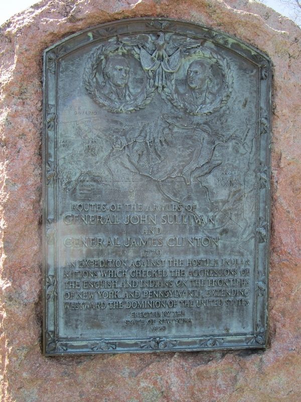
Routes of the Armies of General John Sullivan and General James Clinton
Inscription.
Routes of the Armies of General John Sullivan and General James Clinton 1779. An expedition against the hostile Indian nations which checked the aggressions of the English and Indians on the frontiers of New York and Pennsylvania, extending westward the dominion of the United States.
Erected 1929 by New York State.
Topics and series. This historical marker is listed in these topic lists: Native Americans • War, US Revolutionary. In addition, it is included in the The Sullivan-Clinton Expedition Against the Iroquois Indians series list. A significant day of the year for for this entry is May 31.
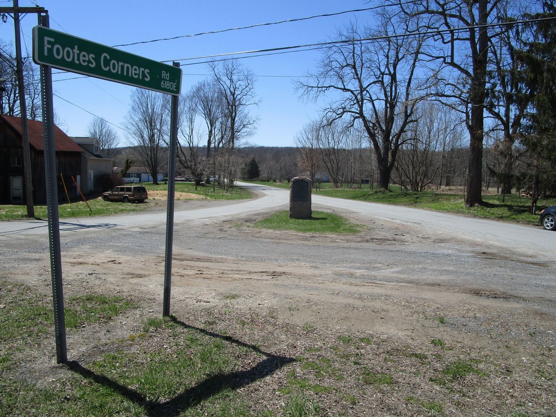
Location. 42° 44.775′ N, 77° 40.62′ W. Marker is in Conesus, New York, in Livingston County. Marker is at the intersection of Footes Corners Road and South Livonia Road (New York State Route 15), in the median on Footes Corners Road. Touch for map. Marker is in this post office area: Conesus NY 14435, United States of America. Touch for directions.
Other nearby markers. At least 8 other markers are within 4 miles of this marker, measured as the crow flies. Military Route (within shouting distance of this marker); Kelleman Log Cabin (approx. 1.4 miles away); Conesus Amusement Hall (approx. 1.9 miles away); a different marker also named Conesus Amusement Hall (approx. 1.9 miles away); a different marker also named Military Route (approx. 2.9 miles away); Groveland Ambuscade Park (approx. 3.2 miles away); Groveland Ambuscade Monument (approx. 3.3 miles away); Phantom Indian of Conesus Lake (approx. 3.3 miles away). Touch for a list and map of all markers in Conesus.
Credits. This page was last revised on April 1, 2023. It was originally submitted on May 1, 2018, by Anton Schwarzmueller of Wilson, New York. This page has been viewed 425 times since then and 19 times this year. Last updated on March 25, 2023, by Brenda Eddy of Conesus, New York. Photos: 1, 2. submitted on May 1, 2018, by Anton Schwarzmueller of Wilson, New York. • Michael Herrick was the editor who published this page.

