The Main Street Historic District
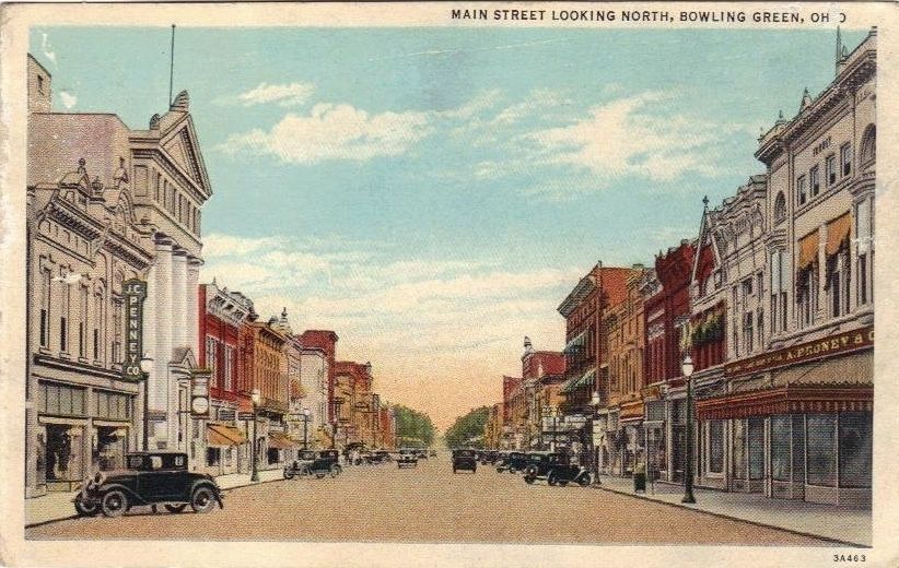
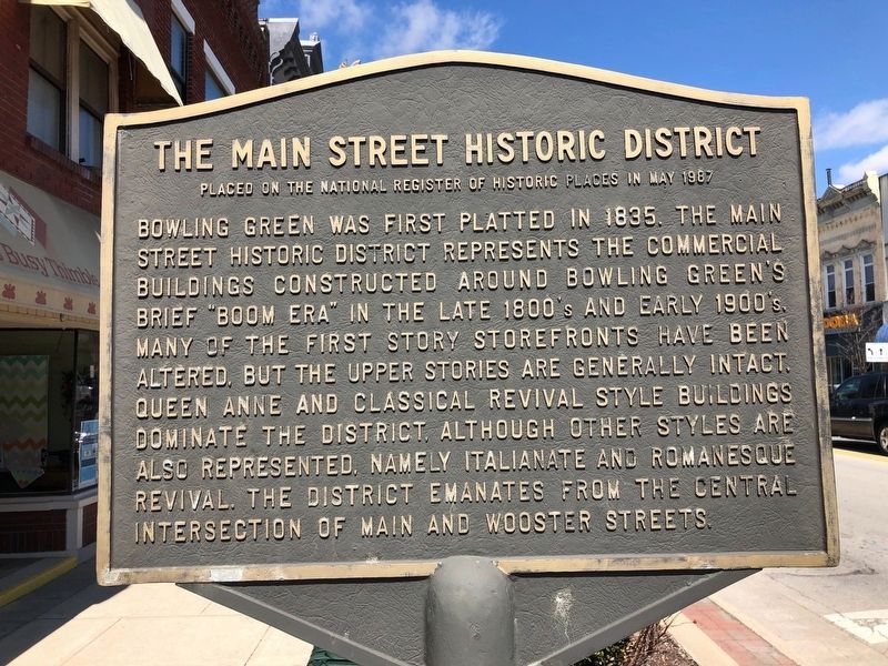
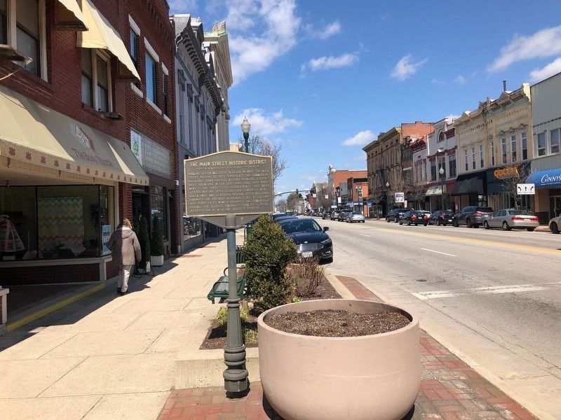
Bowling Green was first platted in 1835. The Main Street Historic District represents the commercial buildings constructed around Bowling Green's brief "boom era" in the late 1800's and early 1900's. Many of the first story storefronts have been altered, but the upper stories are generally intact. Queen Anne and Classical Revival style buildings dominate the district, although other styles are also represented, namely the Italianate and Romanesque Revival. The district emanates from the central intersection of Main and Wooster Streets.
Topics. This historical marker is listed in these topic lists: Architecture • Industry & Commerce.
Location. 41° 22.438′ N, 83° 39.033′ W. Marker is in Bowling Green, Ohio, in Wood County. Marker is on South Main Street (State Highway 25), on the right when traveling south. Marker is 350 feet south of Wooster Street (State Highway 64). Touch for map. Marker is at or near this postal address: 148 South Main Street, Bowling Green OH 43402, United States of America. Touch for directions.
Other nearby markers. At least 8 other markers are within walking distance of this marker. The Great Black Swamp (within shouting distance of this marker); Wiley Post No. 46 (about 400 feet away, measured in a direct line); Exchange Bank (about 400 feet away); Ties That Bind
Also see . . . Welcome to Bowling Green Ohio's Historic District. Booklet about the historic district and buildings within the district, which includes more than just Main Street. (Submitted on March 6, 2020, by Joel Seewald of Madison Heights, Michigan.)

Credits. This page was last revised on March 6, 2020. It was originally submitted on May 2, 2018, by Michael Baker of Lima, Ohio. This page has been viewed 464 times since then and 31 times this year. Photos: 1, 2. submitted on May 2, 2018, by Michael Baker of Lima, Ohio. 3. submitted on May 4, 2018. • Bill Pfingsten was the editor who published this page.

