Alder in Madison County, Montana — The American West (Mountains)
Garnets, Vigilantes and Gold Dredges
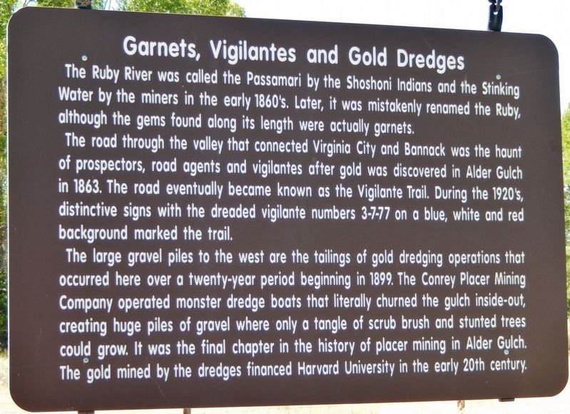
The Ruby River was called the Passamari by the Shoshoni Indians and the Stinking Water by the miners in the early 1860's. Later, it was mistakenly renamed the Ruby, although the gems found along its length were actually garnets.
The road through the valley that connected Virginia City and Bannock was the haunt of prospectors, road agents and vigilantes after gold was discovered in Alder Gulch in 1863. The road eventually became known as the Vigilante Trail. During the 1920’s, distinctive signs with the dreaded vigilante numbers 3-7-77 on a blue, white and red background marked the trail.
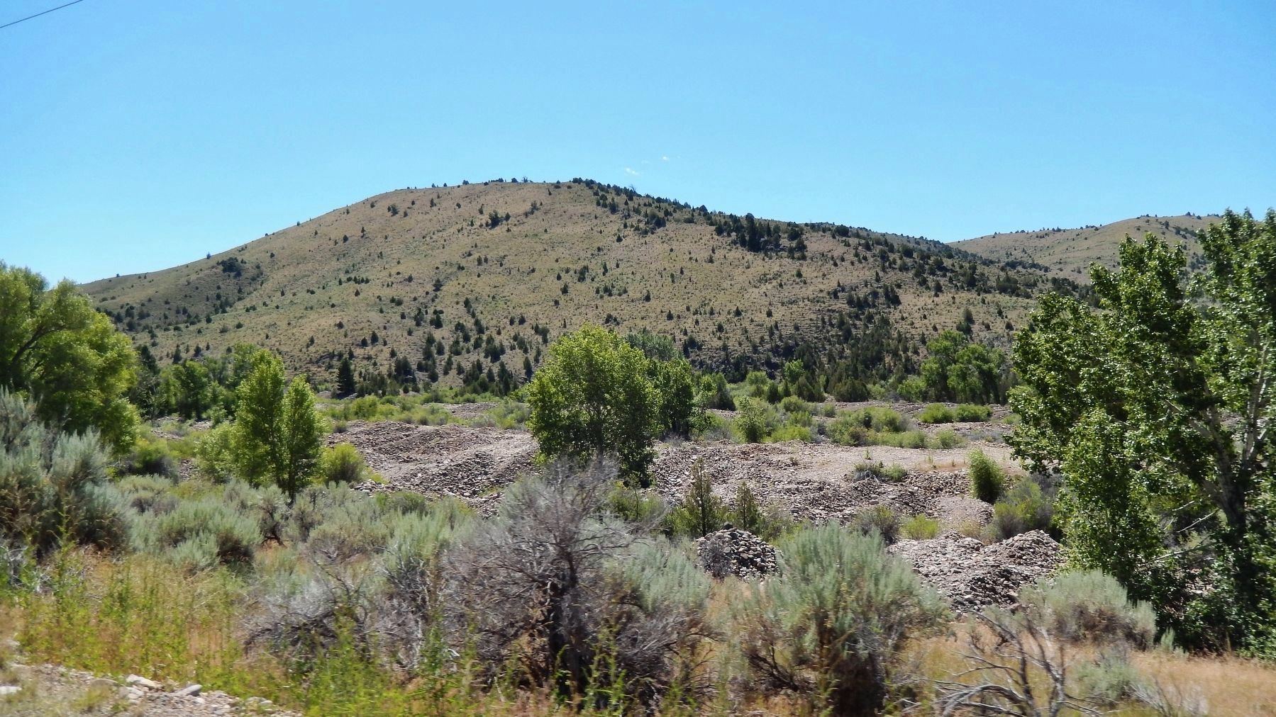
The large gravel piles to the west are the tailings of gold dredging operations that occurred here over a twenty-year period beginning in 1899. The Conrey Placer Mining Company operated monster dredge boats that literally churned the gulch inside-out creating huge piles of gravel where only a tangle of scrub brush and stunted trees could grow. It was the final chapter in the history of placer mining in Alder Gulch. The gold mined by the dredges financed Harvard University in the early 20th century.
Topics. This historical marker is listed in these topic lists: Industry & Commerce • Native Americans • Roads & Vehicles • Settlements & Settlers. A significant historical year for this entry is 1863.
Location. 45° 19.2′ N, 112° 4.588′ W. Marker is in Alder, Montana, in Madison County. Marker is on State Highway 287 south of Ruby Road, on the left when traveling north. Marker is located in a pull-out on the west (actually south at this point) side of the highway. Touch for map. Marker is in this post office area: Alder MT 59710, United States of America. Touch for directions.
Other nearby markers. At least 8 other markers are within 6 miles of this marker, measured as the crow flies. Adobetown (approx. 4.7 miles away); Gold in Alder Gulch (approx. 4.7 miles away); Finney House (approx. 5.3 miles away); Site of the Trial and Hanging of George Ives (approx. 5.3 miles away); History Wins! (approx. 5.3 miles away); Nevada City (approx. 5.3 miles away); Montana’s Oldest Standing School (approx. 5.3 miles away); Gallows Barn (approx. 5.3 miles away).
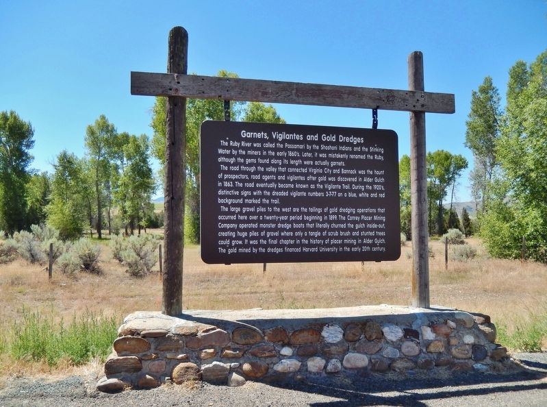
More about this marker. Marker is a large, composite "billboard-style" marker, suspended from a heavy wooden frame, and in good condition.
Regarding Garnets, Vigilantes and Gold Dredges. The vigilante episode in Alder Gulch history has been written about more often than any other, including the discovery itself. It poses more problems than any other facet of the camp's history. The literature ranges from worship of the vigilantes to articles condemning them as worse than the men they hanged.
Life in the pioneer mining camps was precarious under the best of conditions. Under the conditions that existed in Bannack and Alder Gulch, hundreds of miles from any government, life was more than precarious, it was downright dangerous.
Also see . . .
1. Montana Vigilantes. Wikipedia entry:
In a region where valuable gold was plentiful, transportation was insecure and effective law and order was lacking, travelers became easy prey for robbers. By late 1863, thefts and murders along the routes in and around Alder Gulch had become common. In their writings about the vigilantes, Thomas Dimsdale and Nathaniel P. Langford estimated that at least 102 travelers were killed by robbers in the fall of 1863. Many more travelers left the region and were never heard from again. (Submitted on May 2, 2018, by Cosmos Mariner of Cape Canaveral, Florida.)
2. Alder Gulch - Virginia City. Western Mining History website entry:
Harvard University geologist, Dr. N. S. Shaler, persuaded Gordon McKay, a shoe manufacturer from Boston, to organize the Conrey Placer Mining Company in 1898. The company built its first dredge in 1899 and put it into operation in the fall of that year. During the next 24 years the company dredged the seven-mile long stretch of bottom lands along Alder Gulch Creek from the town of Alder to Virginia City. The six connected-bucket dredges ultimately processed over 37 million
cubic yards of ground.
McKay's will left the controlling interest in the company to Harvard University which reaped a sizable income from the Alder Gulch dredging operation for the next twenty years. (Submitted on May 2, 2018, by Cosmos Mariner of Cape Canaveral, Florida.)
Credits. This page was last revised on August 15, 2021. It was originally submitted on May 2, 2018, by Cosmos Mariner of Cape Canaveral, Florida. This page has been viewed 410 times since then and 21 times this year. Photos: 1, 2, 3. submitted on May 2, 2018, by Cosmos Mariner of Cape Canaveral, Florida. • Andrew Ruppenstein was the editor who published this page.


