LeRoy in Genesee County, New York — The American Northeast (Mid-Atlantic)
The Steeple / The Church
Inscription.
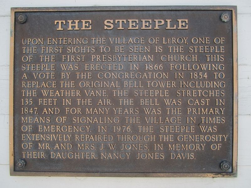
The Steeple
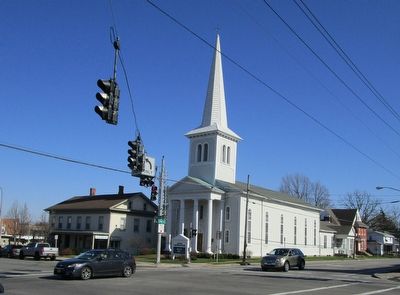
Upon entering the village of LeRoy, one of the first sights to be seen is the steeple of the First Presbyterian Church. This was erected in 1866 following a vote by the congregation in 1854 to replace the original bell tower. Including the weather vane, the steeple stretches 135 feet in the air. The bell was cast in 1847, and for many years was the primary means of signaling the village in times of emergency. In 1976, the steeple was extensively repaired through the generosity or Mr. and Mrs. J.W. Jones, in memory of their daughter, Nancy Jones Davis.
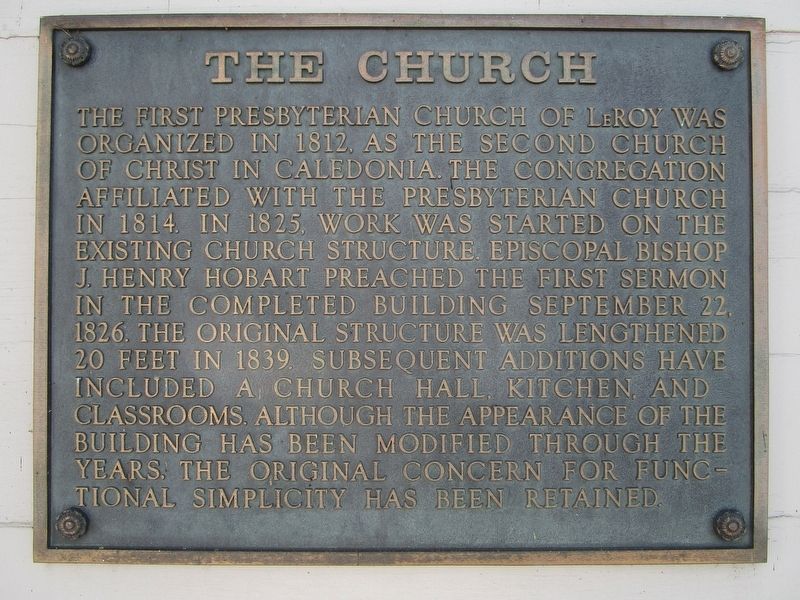
The Church
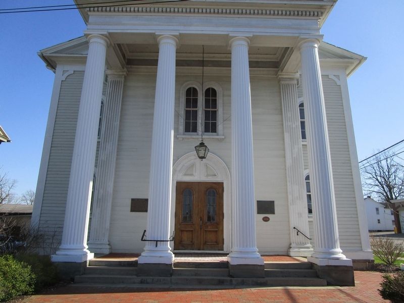
The First Presbyterian Church of LeRoy was organized in 1812. As the Second Church of Christ in Caledonia, the congregation affiliated with the Presbyterian CHurch in 1814. In 1825, work was started in the existing church structure. Episcopal Bishop J. Henry Hobart preached the first sermon in the completed building September 22, 1826. The original structure was lengthened 20 feet in 1839. Subsequent additions have included a church hall, kitchen, and classrooms. Although the appearence of the building has been modified through the years, the original concern for functional simplicity has been retained.
Topics. This historical marker is listed in this topic list: Churches & Religion. A significant historical date for this entry is September 22, 1826.
Location. 42° 58.649′ N, 77° 59.525′ W. Marker is in LeRoy, New York, in Genesee County. Marker is at the intersection of East Main Street (New York State Route 5) and Clay Street (New York State Route 19), on the left when traveling west on East Main Street. Touch for map. Marker is at or near this postal address: 7 Clay Street, Le Roy NY 14482, United States of America. Touch for directions.
Other nearby markers. At least 8 other markers are within walking distance of this marker. Anti-Slavery Meetings (here, next to this marker); LeRoy Downtown Historic District (within shouting distance of this marker); Women’s Suffrage (within shouting distance of this marker); Keeney House (about 300 feet away, measured in a direct line); Le Roy Post Office (approx. 0.2 miles away); Statue of Liberty Replica (approx. ¼ mile away); Ingham University Campus (approx. ¼ mile away); Ingham University (approx. ¼ mile away). Touch for a list and map of all markers in LeRoy.
Credits. This page was last revised on August 22, 2020. It was originally submitted on May 3, 2018, by Anton Schwarzmueller of Wilson, New York. This page has been viewed 175 times since then and 10 times this year. Photos: 1, 2, 3, 4. submitted on May 3, 2018, by Anton Schwarzmueller of Wilson, New York.


