Camp Pendleton South in San Diego County, California — The American West (Pacific Coastal)
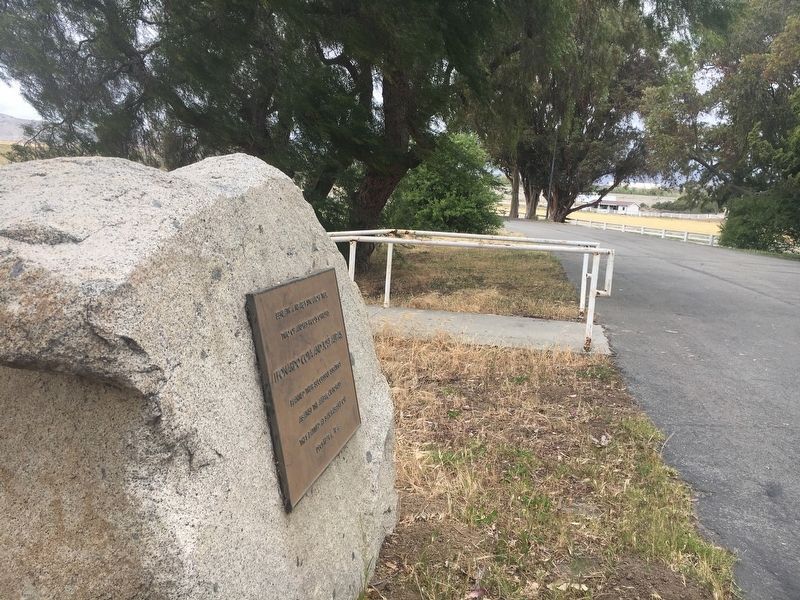
Leonardo Cota and Jose Alipas
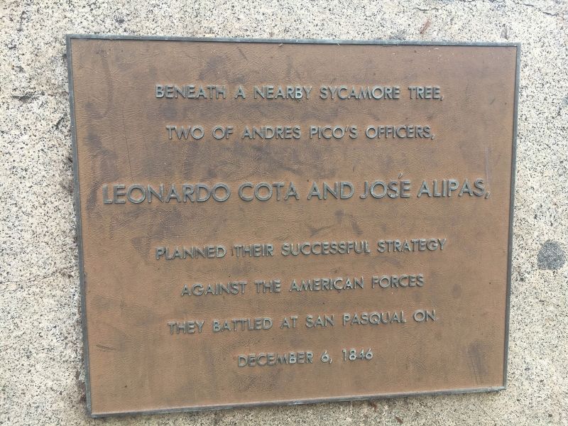
Inscription.
two of Andres Pico's officers,
Leonardo Cota and Jose Alipas,
planned their successful strategy
against the American forces
they battled at San Pasqual
on December 6, 1846
Topics. This historical marker is listed in this topic list: War, Mexican-American. A significant historical date for this entry is December 6, 1846.
Location. 33° 18.538′ N, 117° 20.513′ W. Marker is in Camp Pendleton South, California, in San Diego County. Marker can be reached from Vandegrift Boulevard. Touch for map. Marker is in this post office area: Camp Pendleton CA 92055, United States of America. Touch for directions.
Other nearby markers. At least 8 other markers are within 7 miles of this marker, measured as the crow flies. The Santa Margarita Ranch House Bell (about 300 feet away, measured in a direct line); Santa Margarita Ranch (about 400 feet away); AH-1W "Super Cobra" (approx. half a mile away); El Camino Real Bell (approx. 4 miles away); Walled Garden (approx. 5.2 miles away); Mission San Luís Rey de Francia (approx. 5½ miles away); El Camino Real Guidepost Bells (approx. 6.1 miles away); Retreat Hell! (approx. 6.4 miles away). Touch for a list and map of all markers in Camp Pendleton South.
More about this marker. This marker is on an active Marine Base. Procedures for arranging a visit if you do not have a Marine sponsor are at the following link: http://www.mccscp.com/baseaccess
Related markers. Click here for a list of markers that are related to this marker. Markers located at the battlefield.
Credits. This page was last revised on March 26, 2024. It was originally submitted on May 3, 2018, by Col. James F. Jamison, USMC (Ret) of Coronado, California. This page has been viewed 291 times since then and 30 times this year. Last updated on May 4, 2018, by Col. James F. Jamison, USMC (Ret) of Coronado, California. Photos: 1, 2. submitted on May 3, 2018, by Col. James F. Jamison, USMC (Ret) of Coronado, California. • Syd Whittle was the editor who published this page.

