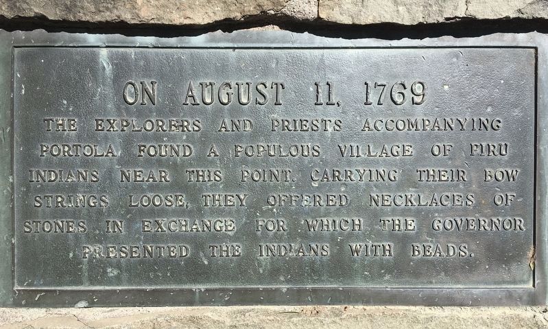
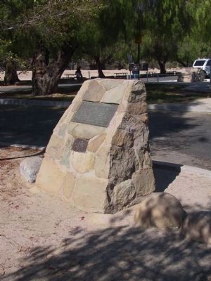
Piru in Ventura County, California — The American West (Pacific Coastal)
Portolá Expedition
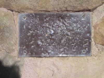
Erected by El Aliso Parlor No. 314, Las Tres Vistas No. 302, Poinsettia Parlor No. 318 Native Daughters of the Golden West and Cabrillo Parlor No. 114 Native Sons of the Golden West. (Marker Number 624.)
Topics and series. This historical marker is listed in these topic lists: Anthropology & Archaeology • Exploration • Native Americans • Notable Places. In addition, it is included in the California Historical Landmarks, the Native Sons/Daughters of the Golden West, and the Portolá Expedition series lists. A significant historical year for this entry is 1769.
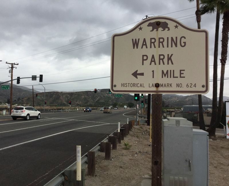
Location. 34° 25.025′ N, 118° 47.483′ W. Marker is in Piru, California, in Ventura County. Marker is on Orchard Street south of North Main Street, on the right when traveling north. Marker is located in Warring Park. Touch for map. Marker is at or near this postal address: 804 Orchard Street, Piru CA 93040, United States of America. Touch for directions.
Other nearby markers. At least 8 other markers are within 7 miles of this marker, measured as the crow flies. The Piru Mansion (approx. 0.2 miles away); St. Francis Dam Disaster (approx. ľ mile away); Rancho Camulos (approx. 2.1 miles away); Governor Juan Alvarado (approx. 2.1 miles away); Camulos, Ventura Co. California (approx. 2.1 miles away); The Del Valle Family Home (approx. 2.1 miles away); Fillmore Fish Hatchery (approx. 5.6 miles away); Rancho Sespe Bunkhouse #2 (approx. 6.9 miles away). Touch for a list and map of all markers in Piru.
Credits. This page was last revised on May 12, 2022. It was originally submitted on December 28, 2011, by Michael Kindig of Elk Grove, California. This page has been viewed 931 times since then and 17 times this year. Last updated on April 7, 2021, by Craig Baker of Sylmar, California. Photos: 1. submitted on April 7, 2021, by Craig Baker of Sylmar, California. 2, 3. submitted on December 28, 2011, by Michael Kindig of Elk Grove, California. 4. submitted on May 7, 2018, by Craig Baker of Sylmar, California. • J. Makali Bruton was the editor who published this page.


