Mobile in Mobile County, Alabama — The American South (East South Central)
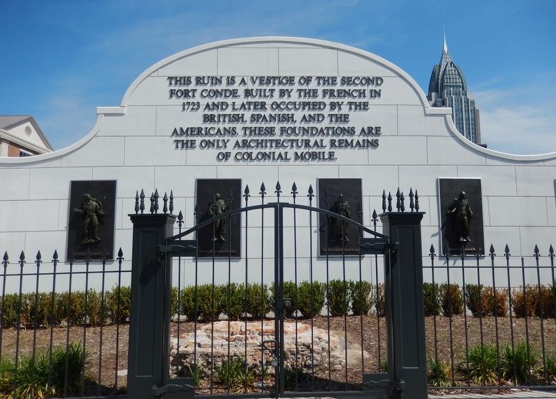
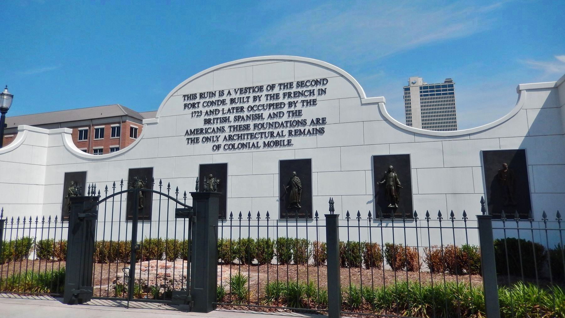
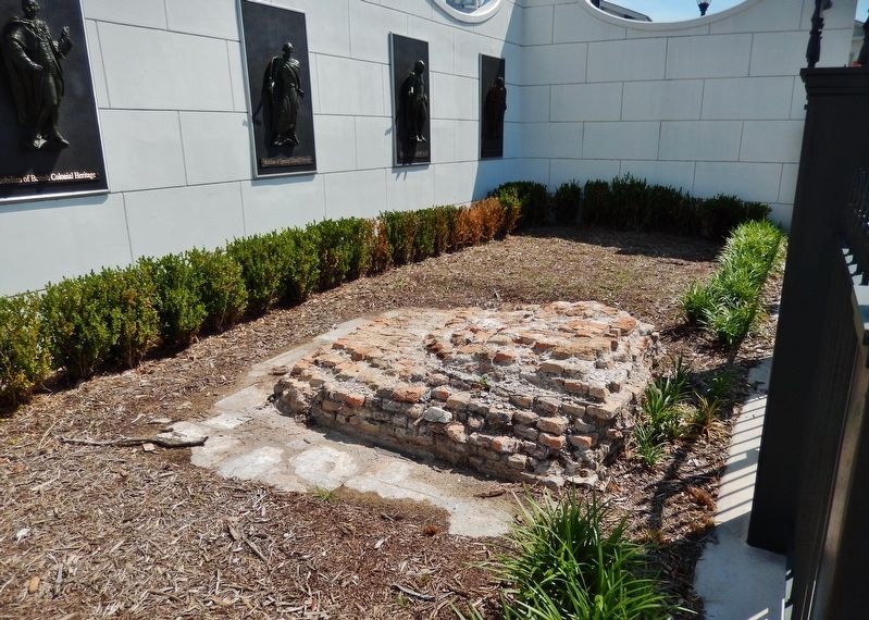
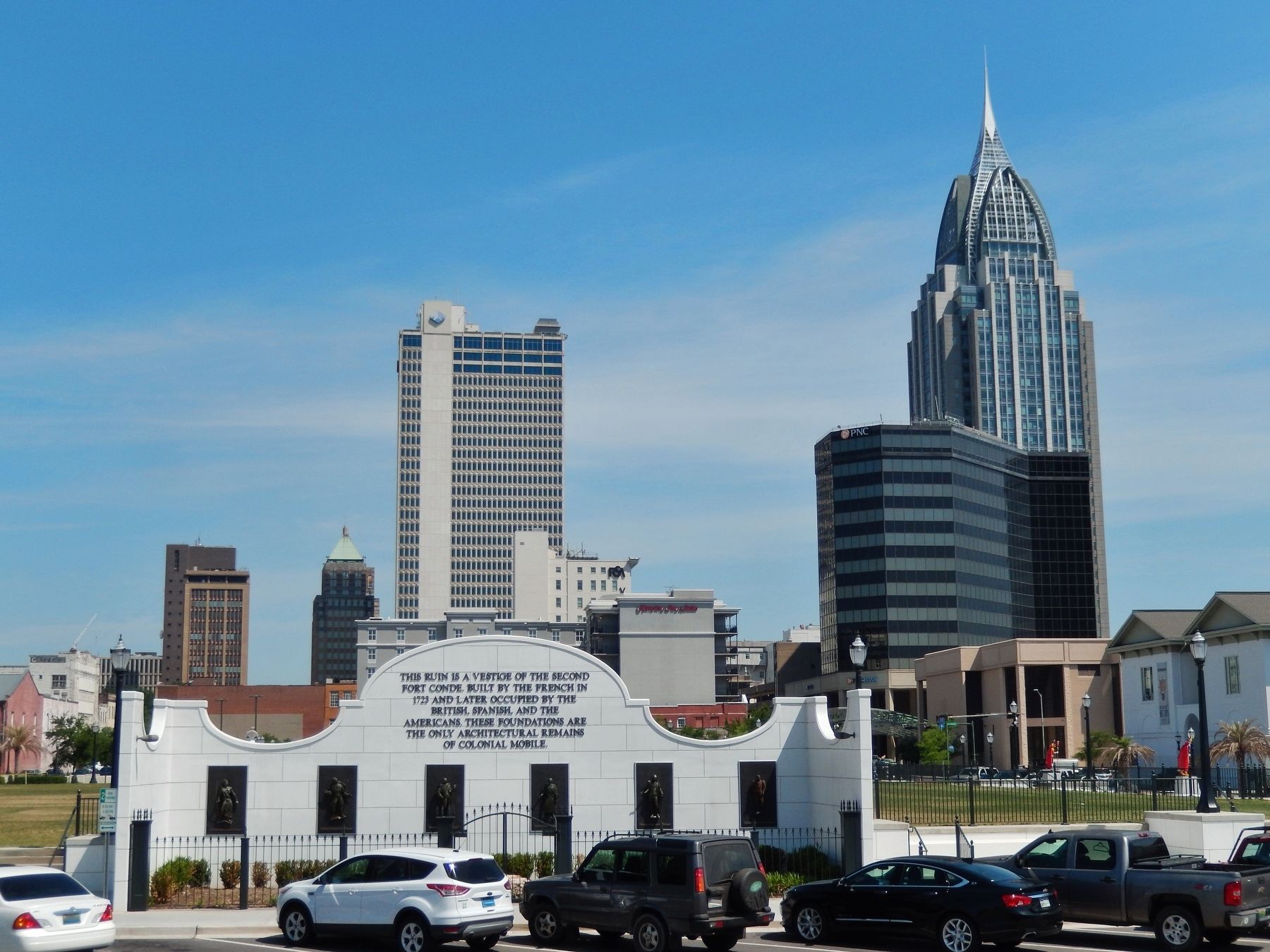
Second Fort Conde Ruin
Topics. This historical marker is listed in these topic lists: Architecture • Colonial Era • Forts and Castles • Settlements & Settlers. A significant historical year for this entry is 1723.
Location. 30° 41.353′ N, 88° 2.423′ W. Marker is in Mobile, Alabama, in Mobile County. Marker is on Church Street west of South Royal Street, on the right when traveling west. Marker is located on the south side of Mardi Gras Park, directly across from The Fort of Colonial Mobile. Touch for map. Marker is at or near this postal address: 149 Church Street, Mobile AL 36602, United States of America. Touch for directions.
Other nearby markers. At least 8 other markers are within walking distance of this marker. Lynching in America / The Lynching of Richard Robertson (within shouting distance of this marker); The Site of Historic Fort Condé (within shouting distance of this marker); Christ Church (within shouting distance of this marker); "Damn The Torpedoes!" The Campaigns for Mobile, 1864 - 1865 (within shouting distance of this marker); How Big was the Original Fort Condé? (within shouting distance of this marker); City Hall (within shouting distance of this marker); Oldest Episcopal Church in the State (within shouting distance of this marker); Mobile's First Mardi Gras Parade (about 400 feet away, measured in a direct line). Touch for a list and map of all markers in Mobile.
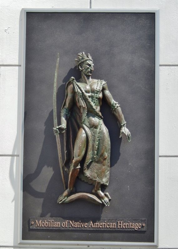
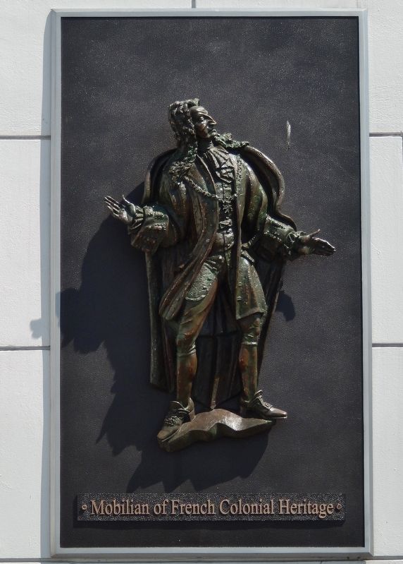
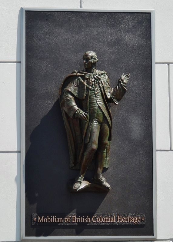
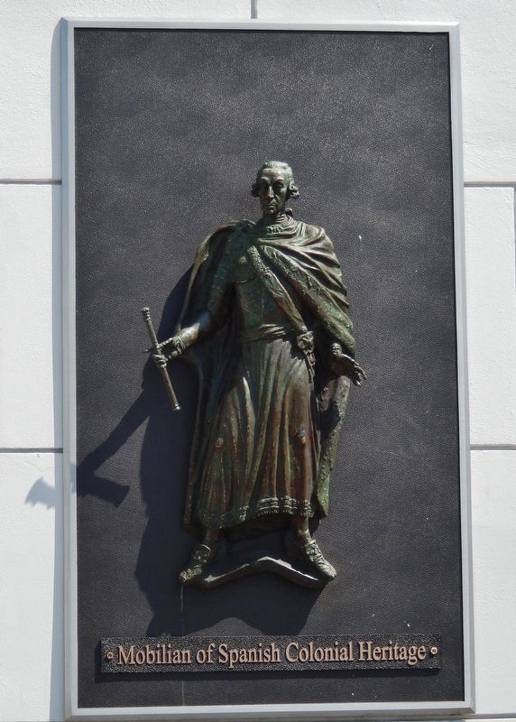
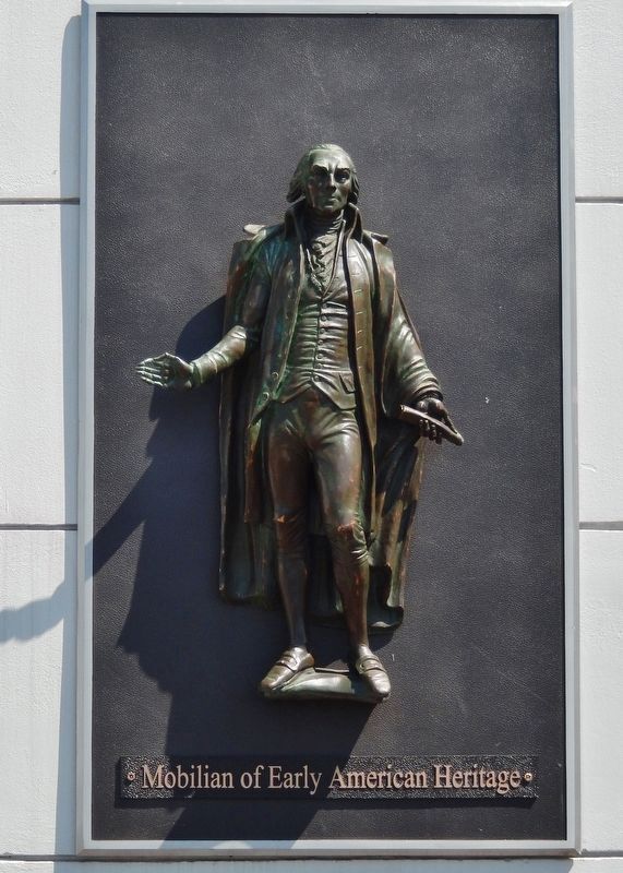
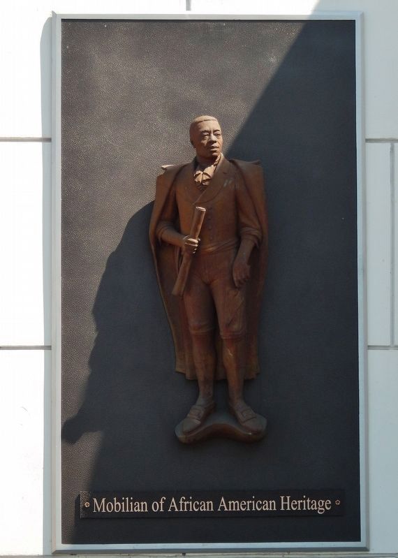
More about this marker. This large marker is comprised of lettering placed on a masonry wall that surrounds and protects the Second Fort Conde Ruins, complemented by 6 bas-relief sculptures representing 6 different ethnic communities of colonial Mobile. Tall wrought iron fencing on the west side of the marker provides for viewing of the ruins while maintaining a protective barrier.
Also see . . .
1. Fort Conde. The original Fort Condé, from 1723, was shaped in the form of a seven-pointed star, with guard towers raised at the points and with significant surrounding earth works. Fort Condé and its surrounding buildings covered about 11 acres of land. It was constructed of local brick and stone, with earthen dirt walls, plus cedar wood. In design, it was similar to Spanish fort Castillo de San Marcos in St. Augustine, Florida. Fort Condé guarded Mobile and its citizens for almost 100 years, from 1723-1820. (Submitted on May 9, 2018, by Cosmos Mariner of Cape Canaveral, Florida.)
2. The Fort of Colonial Mobile. This reconstruction of Fort Conde features historic artifacts & exhibits. (Submitted on May 10, 2018.)
Credits. This page was last revised on August 16, 2020. It was originally submitted on May 9, 2018, by Cosmos Mariner of Cape Canaveral, Florida. This page has been viewed 654 times since then and 39 times this year. Photos: 1, 2, 3, 4. submitted on May 9, 2018, by Cosmos Mariner of Cape Canaveral, Florida. 5, 6, 7. submitted on May 13, 2018, by Cosmos Mariner of Cape Canaveral, Florida. 8. submitted on May 15, 2018, by Cosmos Mariner of Cape Canaveral, Florida. 9, 10. submitted on May 9, 2018, by Cosmos Mariner of Cape Canaveral, Florida. • Bernard Fisher was the editor who published this page.
