La Habra Heights in Orange County, California — The American West (Pacific Coastal)
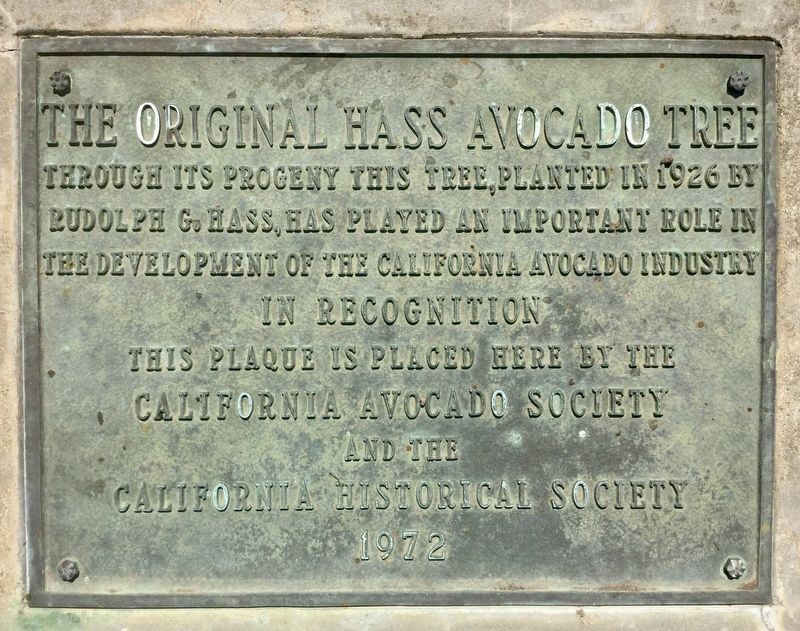
The Original Hass Avocado Tree
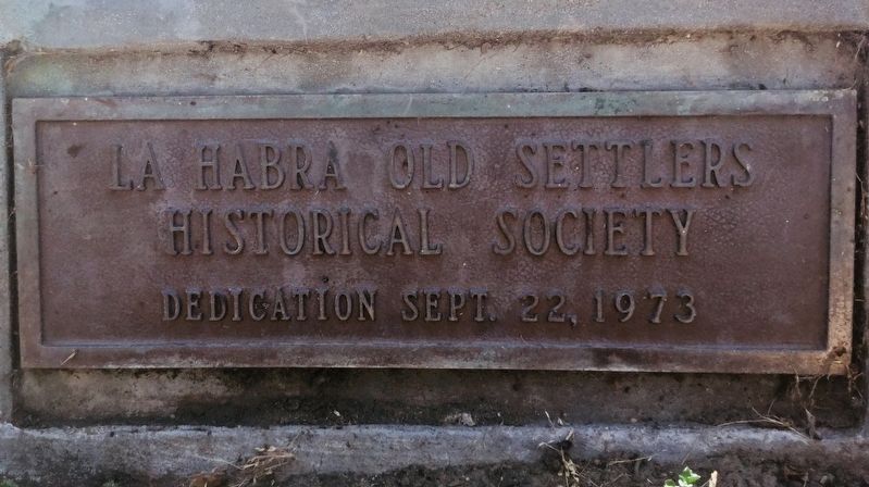
Erected 1973 by California Avocado Society, California Historical Society, and La Habra Historical Society.
Topics. This historical marker is listed in this topic list: Agriculture. A significant historical year for this entry is 1926.
Location. 33° 57.281′ N, 117° 57.989′ W. Marker is in La Habra Heights, California, in Orange County. Marker is on West Road, half a mile west of Hacienda Road, on the left when traveling west. Touch for map. Marker is at or near this postal address: 426 West Road, La Habra CA 90631, United States of America. Touch for directions.
Other nearby markers. At least 8 other markers are within 5 miles of this marker, measured as the crow flies. La Habra's Birthplace (approx. 2 miles away); La Habra Pacific Electric Depot (approx. 2.1 miles away); West Coyote Field, The La Habra Research Laboratory (approx. 2.6 miles away); Stagecoach Stop (approx. 3˝ miles away); La Mirada Relay Station (approx. 3˝ miles away); Jonathan Bailey House (approx. 4.3 miles away); “Jesus Saves” Historic Replica (approx. 4.4 miles away); Sutherland / Sanders Bell Tower (approx. 4.4 miles away).
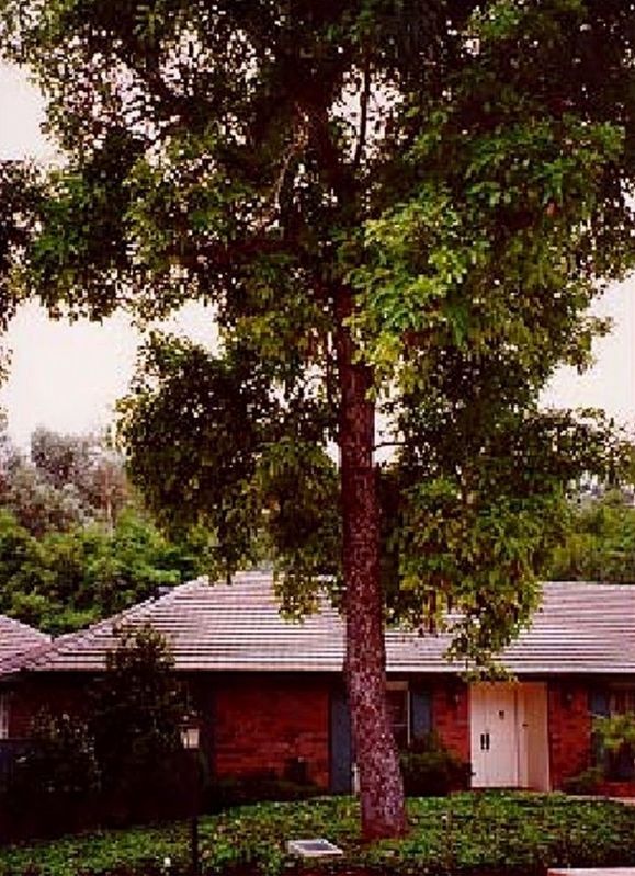
Regarding The Original Hass Avocado Tree. This tree died in 2002 at the age of 76.
Every Hass avocado tree today is descended from this tree.
The name Hass is often misspelled and mispronounced as Haas.
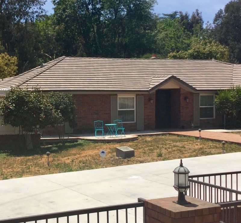
The marker can be seen in what is now the front yard of a home, which has a low fence around it.
Also see . . . History of the Tree. Wikipedia. (Submitted on May 10, 2018, by Craig Baker of Sylmar, California.)
Credits. This page was last revised on April 11, 2022. It was originally submitted on May 10, 2018, by Craig Baker of Sylmar, California. This page has been viewed 602 times since then and 53 times this year. Photos: 1, 2, 3, 4, 5. submitted on May 10, 2018, by Craig Baker of Sylmar, California. • Syd Whittle was the editor who published this page.
