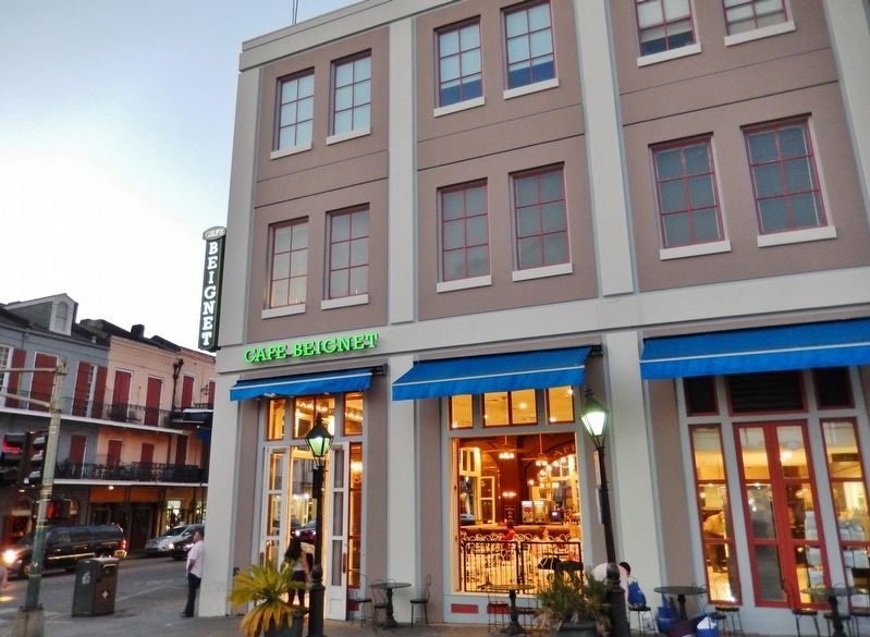
French Quarter in New Orleans in Orleans Parish, Louisiana — The American South (West South Central)
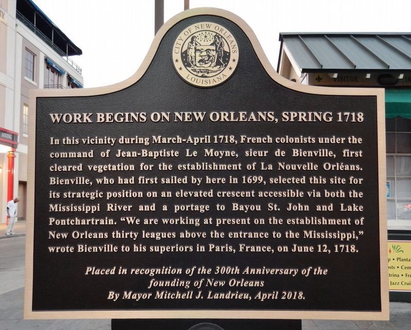
Work Begins on New Orleans, Spring 1718
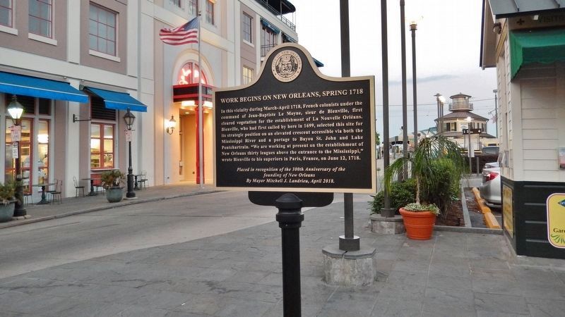
In this vicinity during March-April 1718, French colonists under the command of Jean-Baptiste Le Moyne, sieur de Bienville, first cleared vegetation for the establishment of La Nouvelle Orleans. Bienville, who had first sailed by here in 1699, selected this site for its strategic position on an elevated crescent accessible via both the Mississippi River and a portage to Bayou St. John and Lake Pontchartrain. "We are working at present on the establishment of New Orleans thirty leagues above the entrance to the Mississippi," wrote Bienville to his superiors in Paris, France, on June 12, 1718.
founding of New Orleans
By Mayor Mitchell J. Landrieu, April 2018.
Erected 2018 by City of New Orleans, Louisiana.
Topics. This historical marker is listed in these topic lists: Colonial Era • Exploration • Settlements & Settlers. A significant historical year for this entry is 1718.
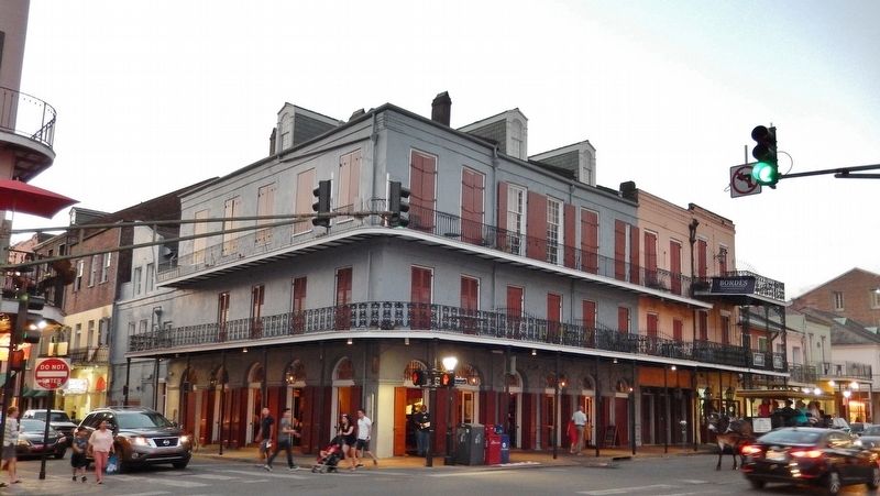
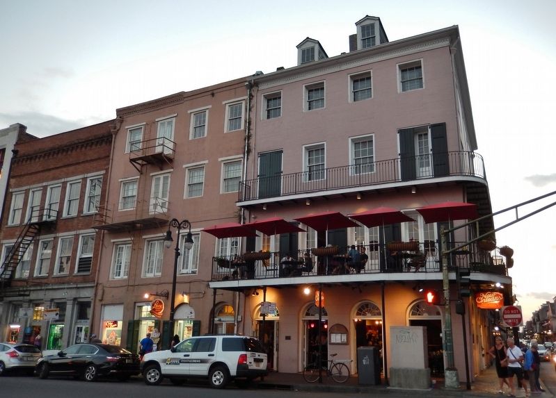
Location. 29° 57.347′ N, 90° 3.809′ W. Marker is in New Orleans, Louisiana, in Orleans Parish. It is in the French Quarter. Marker is at the intersection of Decatur Street and Toulouse Street, on the right when traveling north on Decatur Street. Touch for map. Marker is at or near this postal address: 500 Decatur Street, New Orleans LA 70130, United States of America. Touch for directions.
Other nearby markers. At least 8 other markers are within walking distance of this marker. Picayune Pier (about 400 feet away, measured in a direct line); Jean Adrien Delpit House (about 400 feet away); Riverboat Cotton Bales (about 400 feet away); Sugar Wharves at the Port (about 400 feet away); Natchez Steamboats (about 400 feet away); Louis J. Dufilho (about 500 feet away); The Steamer New Orleans (about 500 feet away); Homesite of Oliver Pollock (about 500 feet away). Touch for a list and map of all markers in New Orleans.
Also see . . .
1. Jean-Baptiste Le Moyne de Bienville. In 1716, Bienville led a campaign against the Natchez Indians. Two years later he founded the settlement of New Orleans on the Mississippi River, and four years later he made that city the new capital of the colony. When the Company of the Indies, which had been financing Louisiana, became unable to continue its support, Bienville’s enemies succeeded in having him recalled to France and dismissed as commandant. He returned as governor in 1733, however, after the colony came under royal control. His final term, which lasted for a decade, was marked by intermittent Indian wars. He voluntarily resigned the governorship in May 1743 and retired to Paris. (Submitted on May 11, 2018, by Cosmos Mariner of Cape Canaveral, Florida.)
2. Founding of New Orleans. La Nouvelle-Orléans (New Orleans) was founded May 7, 1718, by the French Mississippi Company, under the direction of French Louisiana Governor Jean-Baptiste Le Moyne de Bienville, on land inhabited by the Chitimacha. The same year a hurricane destroyed most of the new city, which was rebuilt in the grid pattern of today’s French Quarter and streets were named after lesser royalty in the Duke’s court. Then in 1722, New Orleans was made Louisiana’s capital. Biloxi had originally been the capital. (Submitted on May 11, 2018, by Cosmos Mariner of Cape Canaveral, Florida.)
3. French History in New Orleans. Two French engineers laid out the first 66 squares of a walled village, what later would be known as the French Quarter or the Vieux Carré (Old City). Streets were named after lesser royalty in the Duke’s court. Indian hunters, German farmers, and trappers traded their goods in a clearing where the French Market stands today. (Submitted on May 11, 2018, by Cosmos Mariner of Cape Canaveral, Florida.)
Credits. This page was last revised on February 12, 2023. It was originally submitted on May 11, 2018, by Cosmos Mariner of Cape Canaveral, Florida. This page has been viewed 523 times since then and 40 times this year. Photos: 1, 2, 3, 4, 5. submitted on May 11, 2018, by Cosmos Mariner of Cape Canaveral, Florida. • Bernard Fisher was the editor who published this page.
