Bay City in Matagorda County, Texas — The American South (West South Central)
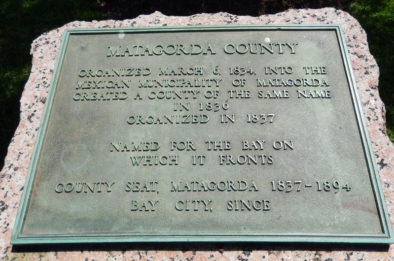
Matagorda County
Mexican municipality of Matagorda
Created a county of the same name
in 1836
Organized in 1837
Named for the Bay
on which it fronts
County Seat, Matagorda 1837-1894
Bay City, since
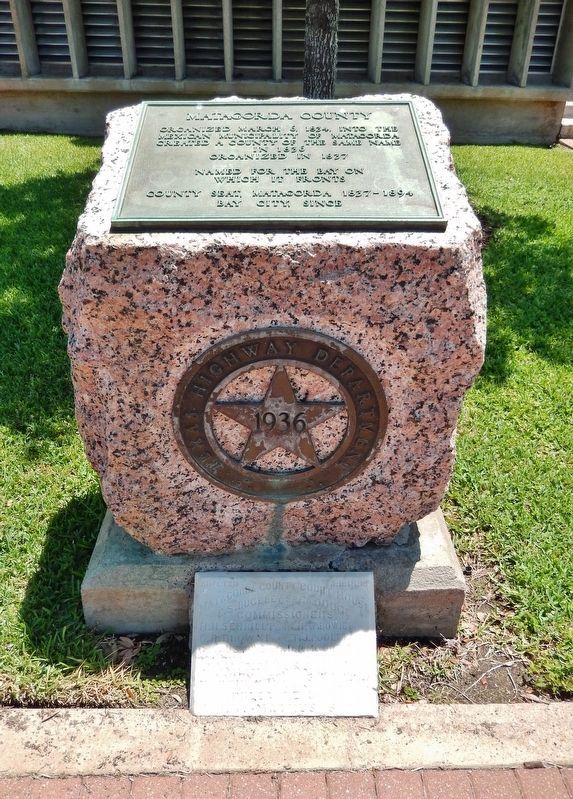
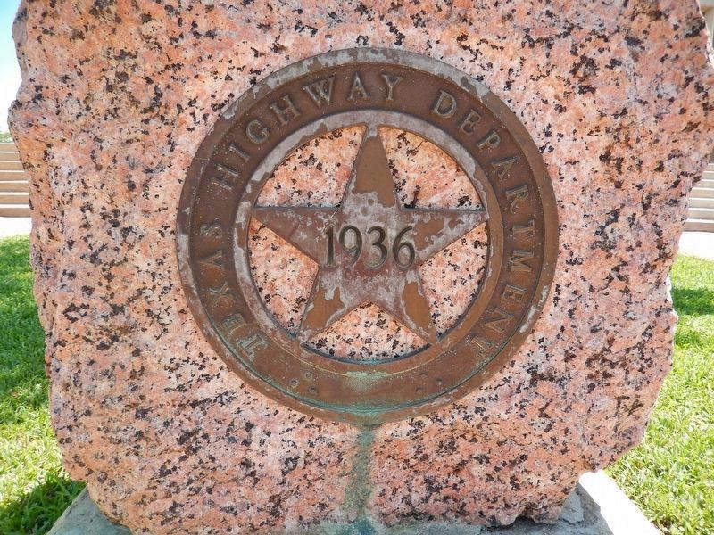
Erected 1936 by Texas Highway Department. (Marker Number 3251.)
Topics and series. This historical marker is listed in these topic lists: Government & Politics • Settlements & Settlers. In addition, it is included in the Texas 1936 Centennial Markers and Monuments series list. A significant historical date for this entry is March 6, 1834.
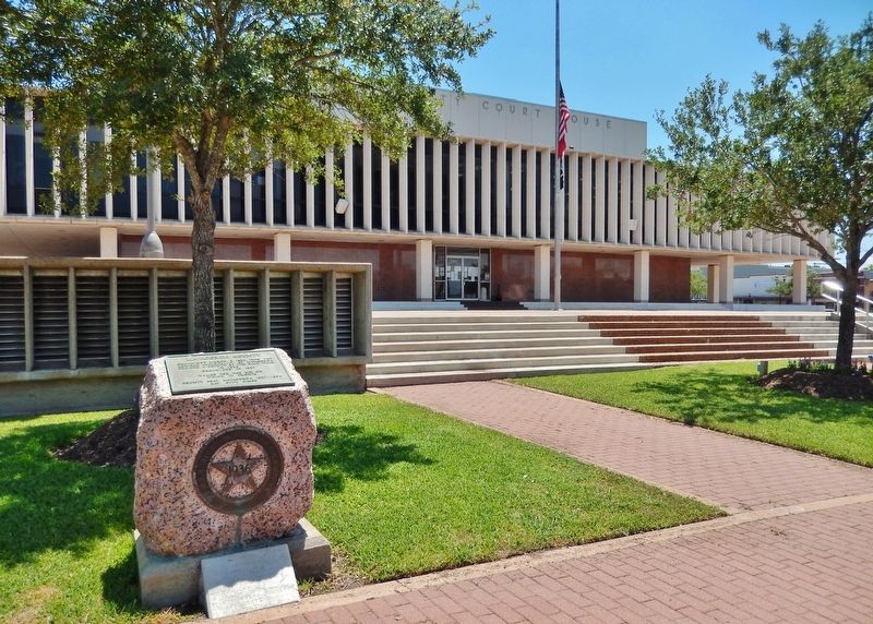
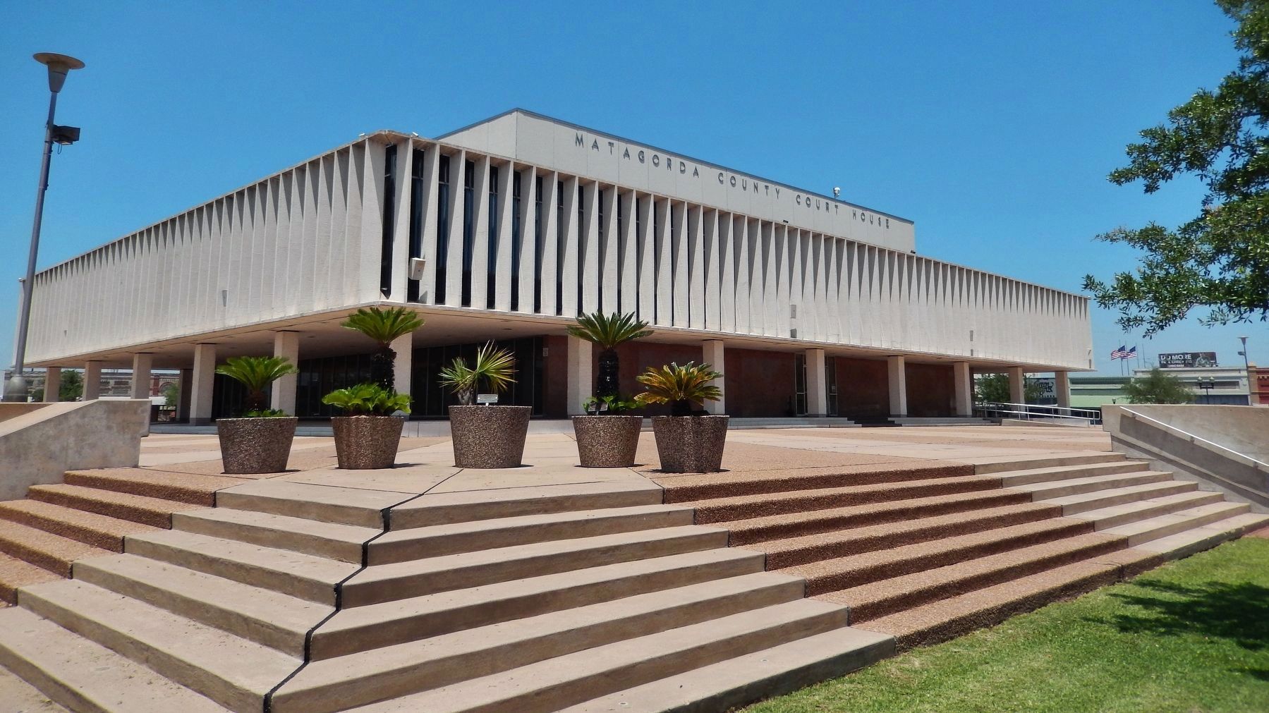
Location. 28° 58.973′ N, 95° 58.155′ W. Marker is in Bay City, Texas, in Matagorda County. Marker is on 7th Street (State Highway 35) west of Avenue G, on the right when traveling east. Marker is located beside the sidewalk, near the northeast corner of the Matagorda County Courthouse grounds. Touch for map. Marker is at or near this postal address: 1700 7th Street, Bay City TX 77414, United States of America. Touch for directions.
Other nearby markers. At least 8 other markers are within walking distance of this marker. A different marker also named Matagorda County (within shouting distance of this marker); Ira Ingram (within shouting distance of this marker); Secrest Jewelry Co. (about 300 feet away, measured in a direct line); McLendon Building (about 300 feet away); Matagorda County Confederate Memorial (about 300 feet away); Bay City Post Office (about 300 feet away); Old Bay City Bank (about 300 feet away); Sugar Cane Mill (about 300 feet away). Touch for a list and map of all markers in Bay City.
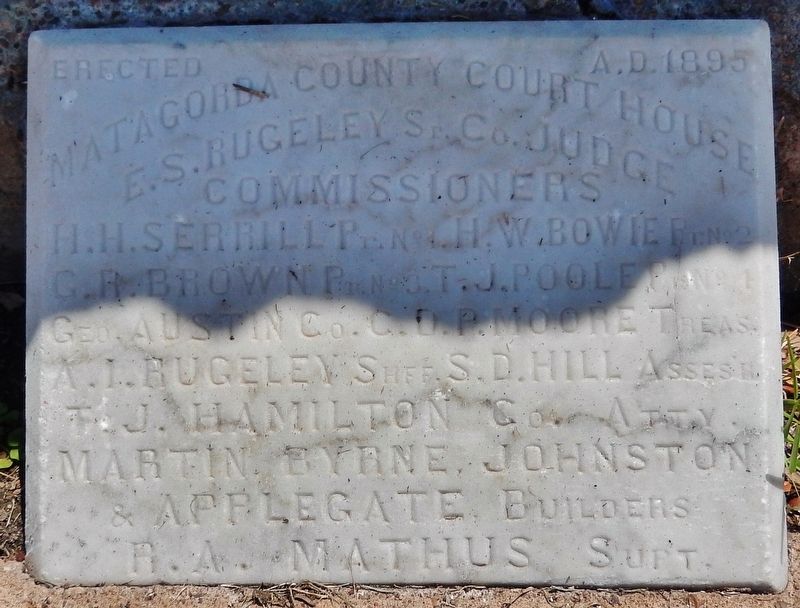
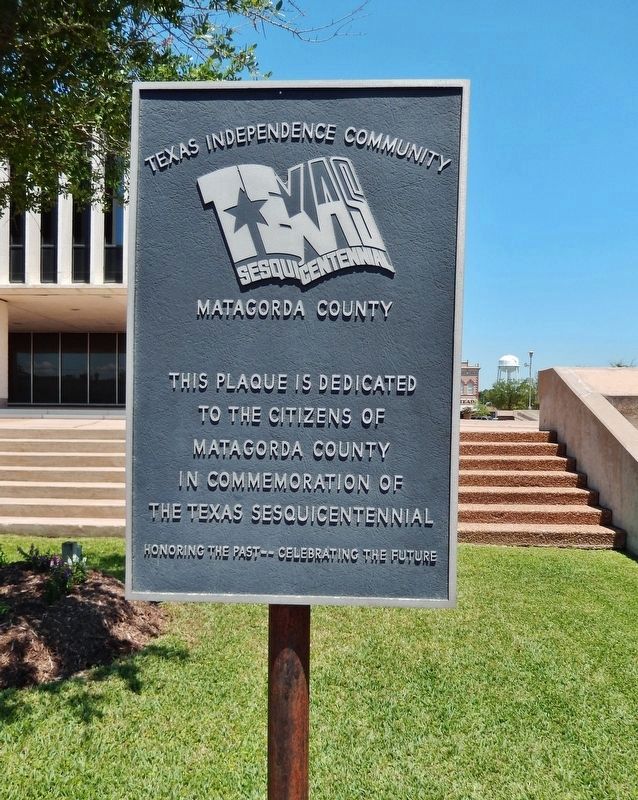
More about this marker. Marker is a metal plaque mounted on a waist-high granite pedestal. Marker is accompanied by the cornerstone from the 1895 Matagorda County Courthouse, which is exhibited at the base of this marker.
Also see . . .
1. Matagorda County. The name Matagorda, Spanish for "thick brush," was derived from the canebrakes that formerly lined the shore. Crossed by the once highly flood-prone Colorado River, which bisects it from north to south, the county extends across 1,612 square miles of mostly open prairie. Alonso Álvarez de Pineda mapped the Texas coastline in 1519, but the first recorded European expedition into the Texas interior was conducted by Álvar Núñez Cabeza de Vaca, who sometime after 1528 probably passed through what later became Matagorda County. (Submitted on May 17, 2018, by Cosmos Mariner of Cape Canaveral, Florida.)
2. Matagorda Texas Bay & Beach. Even before Texas independence, Matagorda was the third largest port in Texas. Matagorda was established in 1827 when Stephen F. Austin obtained permission from Mexico to build a town with Elias R. Wightman, Hosea H. League and Ira Ingram as proprietors. Stephen F. Austin had led a group of settlers here to the mouth of the Colorado River. Fifty-two families from New York and New England became the first settlers. In 1830. Matagorda was incorporated and two years later it had over 1400 people. (Submitted on May 17, 2018, by Cosmos Mariner of Cape Canaveral, Florida.)
Credits. This page was last revised on July 19, 2021. It was originally submitted on May 17, 2018, by Cosmos Mariner of Cape Canaveral, Florida. This page has been viewed 258 times since then and 11 times this year. Photos: 1, 2, 3, 4, 5. submitted on May 17, 2018, by Cosmos Mariner of Cape Canaveral, Florida. 6. submitted on May 22, 2018, by Cosmos Mariner of Cape Canaveral, Florida. 7. submitted on May 17, 2018, by Cosmos Mariner of Cape Canaveral, Florida. • Bernard Fisher was the editor who published this page.
